
Beginner Off-Road Trails
Near Appleton City, Missouri
Explore All Beginner Trails Near Appleton City, Missouri
Beginner Off-Road Trails Near Appleton City, Missouri
Discover the best beginner-friendly off-road trails near you. These easier, lower-rated trails are a great place to start — browse trail maps, check difficulty ratings, and find your next adventure.
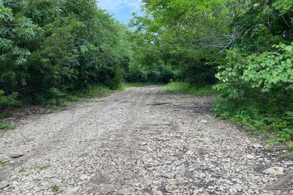
Hangman's Haunt
Hangman's Haunt is a non-directional loop trail within the Takanoah's Hill area of the park, maintained by the Flint Hills Jeep Club. Hangman's Haunt is connected to Takanoah's Hill, Danny's Drive, and Bent Tree. This is a nice flat area where your group can congregate and hang out. There is plenty ...
Learn more about Hangman's Haunt
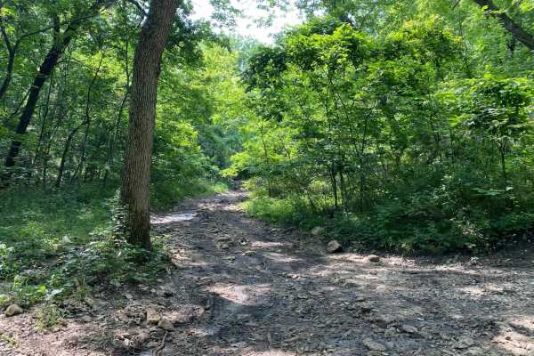
No Name Green
No Name Green is a trail located between the Buckeye Boonies and Carnage Canyon areas of the park. This trail meets with Buckeye Boonies, Zuk Squeeze, and No Name Blue. There is a small creek off to one side of this trail that is relaxing. Most of the trail is shaded and could offer a great spot to ...
Learn more about No Name Green
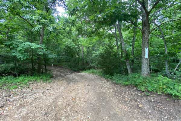
Ft. Scott Ave.
Ft. Scott Ave. is a non-directional trail located within the Takanoah's Hill area of the park, maintained by the Flint Hills Jeep Club. This trail begins where Unpaved Road ends, which is also right in front of where Creek Pass ends. Ft. Scott Ave. ends where it connects to Buckeye Boonies. Towards ...
Learn more about Ft. Scott Ave.
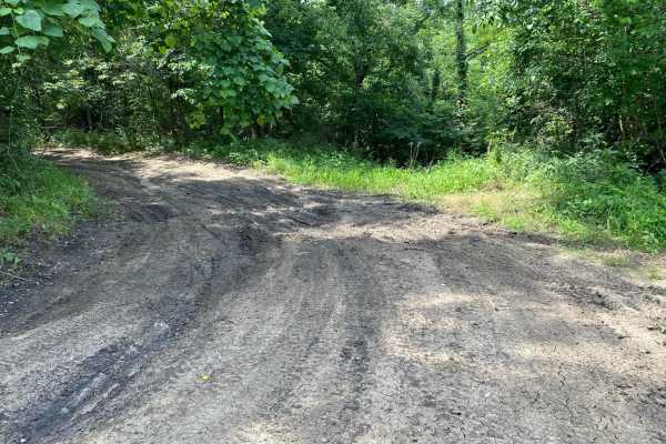
Unpaved Road
Unpaved Road is a very short non-directional trail located within the Takanoah's Hill area of the park, maintained by the Flint Hills Jeep Club. This trail meets Takanoah's Hill at the bottom and also runs right into Ft. Scott Ave. There are no signs for this trail.
Learn more about Unpaved Road
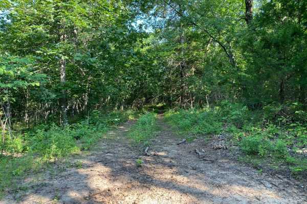
Over Landrover Sea
Over Landrover Sea is a trail between the Buckeye Boonies and Carnage Canyon areas of the park. This is a non-directional trail, so it can be run from either direction. You can consider this trail an off-shoot trail for both Wagon Trail as well as Wagon Trail Connector.
Learn more about Over Landrover Sea

Meech Homestead
Meech Homestead is located between the Buckeye Boonies and the Carnage Canyon areas of the park. This is a non-directional trail, so it can be run from either end. This trail crosses over the junction point for Donny V's Notch and Wagon Trail Connector. The end is where it meets with Starky's Bomb.
Learn more about Meech Homestead
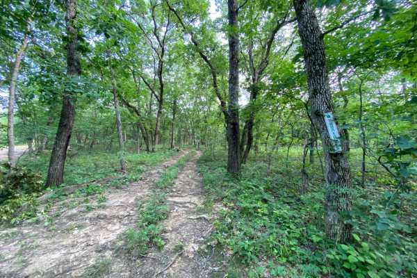
Yountroks
Yountroks is located between the Carnage Canyon and Buckeye Boonies area of the park. This is a short dirt trail that will connect you from Starky's Bomb to the Wagon Trail Connector. This trail is an easy one as it winds you through the trees. You can also be connected to a section of Ho Hummer.
Learn more about Yountroks
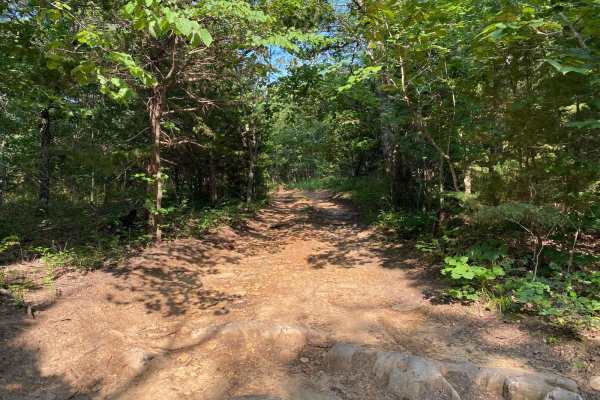
Wagon Trail Connector
Wagon Trail Connector is located between the Buckeye Boonies and Carnage Canyon areas of the park. This is a non-directional trail, so it can be run from either end. This trail will connect you to Wagon Trail from Donny V's Notch. You can also be connected to Meech Homestead, Yountroks, and Over Lan...
Learn more about Wagon Trail Connector
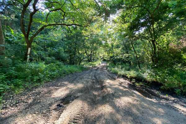
East Hill
East Hill is part of the Main Loop trails around the park and is located within the Buck Hill area. This will connect sections A and B of the park. This part of the main loop is connected to Main Loop, West Bottoms, and Buckeye Boonies. Because this is part of the Main Loop trail system, you will be...
Learn more about East Hill
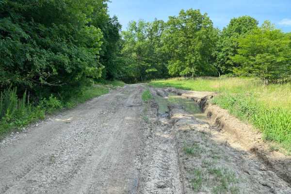
Buckeye Boonies
Buckeye Boonies is part of the main loop trail system within the park. Part of this trail is located in the Wildlife Viewing Area and the Buckeye Boonies Area. Buckeye Boonies is a non-directional trail and can be run from either end. You can also be connected to the Takanoah's Hill area of the park...
Learn more about Buckeye Boonies
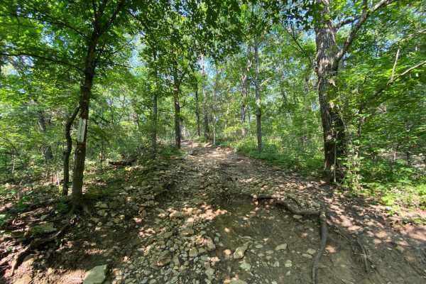
Starky's Bomb
Starky's Bomb is located between the Carnage Canyon and Buckeye Boonies areas of the park. This is a non-directional trail that can be run from either end. This trail will connect you to Wagon Trail, Buckeye Boonies, East Hill, and Ho Hummer. There is a split in the trail with two lines that meet ba...
Learn more about Starky's Bomb
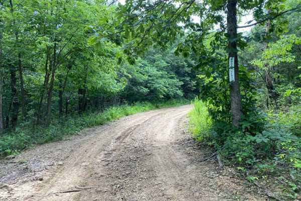
Wagon Trail
Wagon Trail is a non-directional trail that makes up part of the overall main loop trail system. This trail is located within the Carnage Canyon Area of the park. Both ends of this trail will connect you to Buckeye Boonies, but one end will also connect you to East Hill.
Learn more about Wagon Trail
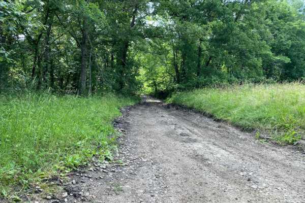
West Bottoms
Do not get the name of this trail confused with Bikini Bottom from Spongebob--this is West Bottoms! West Bottoms runs along the west boundary line of the park. This main loop trail is connected to Buckeye Boonies at one end and East Hill and Main Loop trail at the other. You will have access to many...
Learn more about West Bottoms
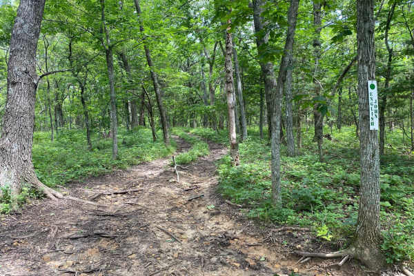
English John
English John is a loop trail that starts and ends on Jared's Junk. Some curves through the trees are tight for longer-wheelbase and wider vehicles. The middle of the track is overgrown with grass and weeds, so be cautious of heat from the underside of your vehicle potentially starting a fire.
Learn more about English John
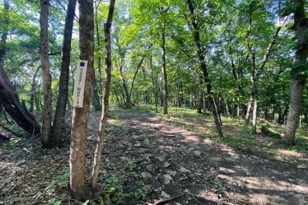
Sugar Maple
Sugar Maple is a non-directional trail within the Turkey Hill area of the park. This trail connects to Jeremys Jaunt at one end and Troxel's Trough at the other end. It also runs parallel to Possum Point and Ruff's Ride. Similar to Possum Point, this is more of a scenic drive through the trees with ...
Learn more about Sugar Maple
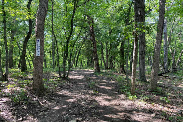
Possum Point
Possum Point is a non-directional trail within the Turkey Hill area of the park. This trail connects to Jeremy's Jaunt at one end and Troxel's Trough at the other end. The trail Sugar Maple runs parallel to this. The drive on this trail is more of a scenic drive through the trees with a slightly ste...
Learn more about Possum Point
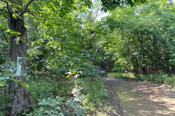
Jeremy's Jaunt
Jeremy's Jaunt is a trail within the Timber Hill and the Turkey Hills areas of the park. When coming from East Hill, the trail comes to a split where you can go left or you can go right. Left leads you to more technical and difficult trails. The right side winds through the trees and connects you to...
Learn more about Jeremy's Jaunt
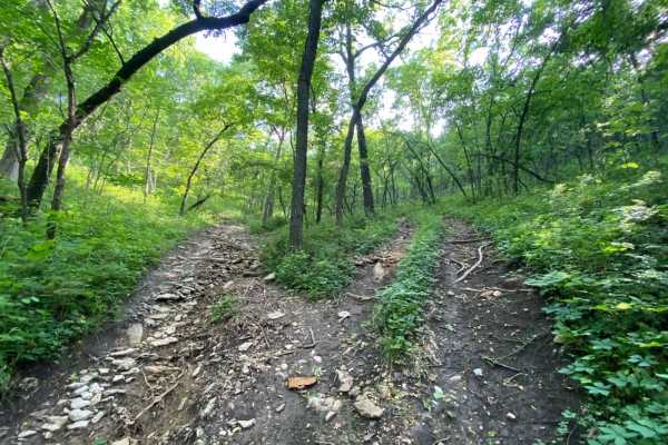
Fruit Loop
As the name implies, this trail is a loop. Fruit Loop is located between where 4x4 Land joins 3 Hour Tour. This is a very short loop that can be tight between the trees. One side of the loop is rocky with some standing water in a few spots, while the other side is more dirt with tree roots sticking ...
Learn more about Fruit Loop
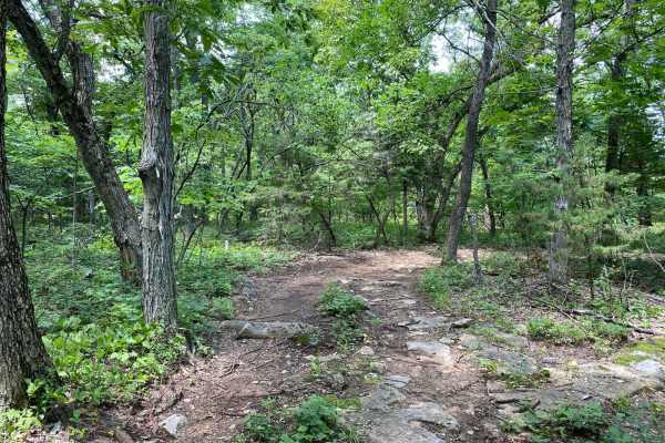
Jake's Cheek
Jake's Cheek is a trail that is located within the outskirts of the Buck Hill Area of the park. This trail is a small off-shoot trail for Only in a Jeep as well as Jakes Crack. There appears to be an old mountain bike bridge on one side of this trail in the trees.
Learn more about Jake's Cheek
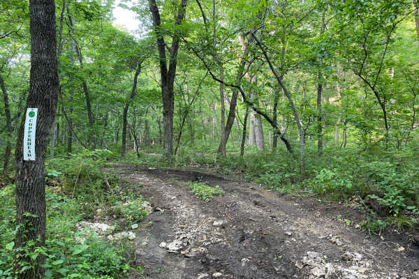
Copperhead
Copperhead is a very short trail that can be used as a connector trail for Rattlesnake Alley, 4x4 Land, and Deliverance. It can be very muddy where it connects to Rattlesnake Alley and Deliverance. This short trail is mostly made up of dirt. If there weren't signs for this trail, you wouldn't know i...
Learn more about Copperhead
Beginner ATV trails near Appleton City, Missouri
Explore ATV-friendly trails near you. These trails are accessible for vehicles up to 50 inches wide, perfect for ATVs and smaller off-road machines.
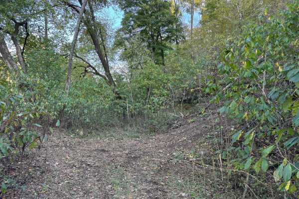
Loopback
Loopback trail provides an easy way to cycle back to the bottom of the West Ridge North hill climb trails for another run. It can also be used as an exit route if you choose to run those same trails in the downhill direction. It is an easy dirt road that'll give you a short break after running the t...
Learn more about Loopback
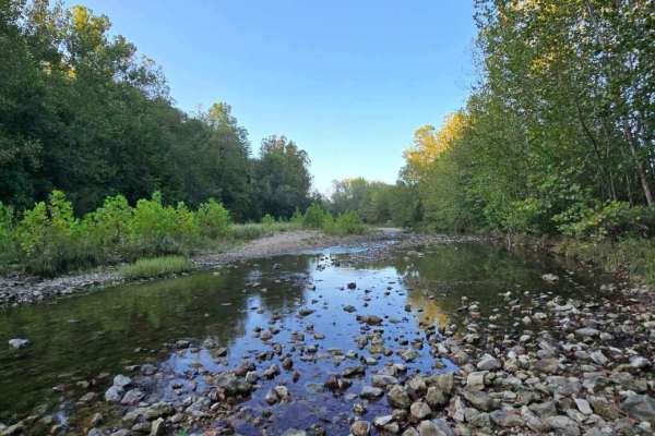
Little Gravois Creek North Trail
This 0.8-mile offroad trail runs alongside and through the scenic Little Gravois Creek, heading north until it reaches the property line. At the end, you'll find a wider loop ideal for turning around. Along the way, expect multiple water crossings where the trail zigzags across the creek, adding exc...
Learn more about Little Gravois Creek North Trail
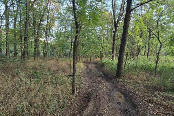
Paw Paw Path
This 0.6-mile offroad trail forms a loop on the western side of Little Gravois Creek, winding through a scenic woodland area. The trail is known for its muddy conditions, especially after rainfall, making it a fun yet low-challenging route. Due to its low elevation, it is also prone to occasional fl...
Learn more about Paw Paw Path
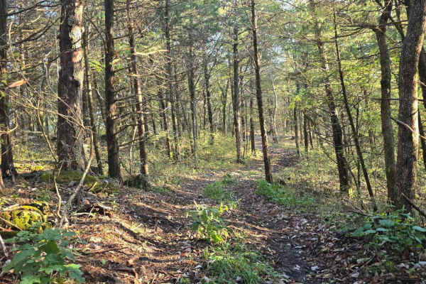
Cedar Ridge
The Northern Woodland Trail is a 0.7-mile one-way route (follow posted signage) that winds through a densely wooded northern section of the LOTO Offroad Park. This scenic trail offers a more enclosed, forested experience with tighter tree lines. It features one moderate descent followed by a steady ...
Learn more about Cedar Ridge
Beginner UTV/side-by-side trails near Appleton City, Missouri
Find UTV and side-by-side trails near you. These trails accommodate vehicles up to 60 inches wide, ideal for UTVs, side-by-sides, and wider off-road rigs.
Hangman's Haunt
Hangman's Haunt is a non-directional loop trail within the Takanoah's Hill area of the park, maintained by the Flint Hills Jeep Club. Hangman's Haunt is connected to Takanoah's Hill, Danny's Drive, and Bent Tree. This is a nice flat area where your group can congregate and hang out. There is plenty ...
Learn more about Hangman's Haunt
No Name Green
No Name Green is a trail located between the Buckeye Boonies and Carnage Canyon areas of the park. This trail meets with Buckeye Boonies, Zuk Squeeze, and No Name Blue. There is a small creek off to one side of this trail that is relaxing. Most of the trail is shaded and could offer a great spot to ...
Learn more about No Name Green
Ft. Scott Ave.
Ft. Scott Ave. is a non-directional trail located within the Takanoah's Hill area of the park, maintained by the Flint Hills Jeep Club. This trail begins where Unpaved Road ends, which is also right in front of where Creek Pass ends. Ft. Scott Ave. ends where it connects to Buckeye Boonies. Towards ...
Learn more about Ft. Scott Ave.
Unpaved Road
Unpaved Road is a very short non-directional trail located within the Takanoah's Hill area of the park, maintained by the Flint Hills Jeep Club. This trail meets Takanoah's Hill at the bottom and also runs right into Ft. Scott Ave. There are no signs for this trail.
Learn more about Unpaved Road
The onX Offroad Difference
onX Offroad combines trail photos, descriptions, difficulty ratings, width restrictions, seasonality, and more in a user-friendly interface. Available on all devices, with offline access and full compatibility with CarPlay and Android Auto. Discover what you're missing today!
Open Trail Map