Chapter 3: Scouting and Sign
Learn what different types of turkey sign mean, how to locate turkey habitat, and ways to use the Hunt App.
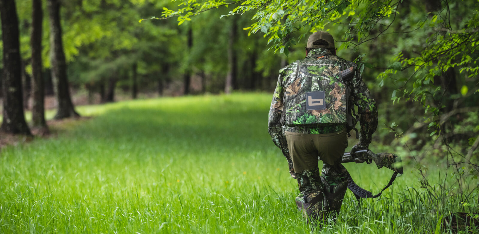
Get Into More Birds
Get Into More Birds
Videos
3.1: Tracks, Scratching, Scat, and Strut Marks
Duration 3:04
We break down the different types of sign you should watch for, including tracks, scat, scratching, and strut marks, and explain how to determine if sign was left by a hen or gobbler.
What You’ll Learn:
• How to determine if a track was left by a tom, hen, or jake.
• Why scat is worth paying attention to.
• The importance of strut zones.
What You’ll Learn:
• How to determine if a track was left by a tom, hen, or jake.
• Why scat is worth paying attention to.
• The importance of strut zones.
3.2: Locate Turkey Habitat and Use Topography to Your Advantage
Duration 4:41
Learn how to locate turkey habitat and how to use topography to your advantage in the turkey woods.
What You’ll Learn:
• Land features common to turkey habitat.
• Hunt App features to help you be more proficient at finding turkeys, including Hybrid Maps as well as Trees, Crops, and Cover Map Layers.
What You’ll Learn:
• Land features common to turkey habitat.
• Hunt App features to help you be more proficient at finding turkeys, including Hybrid Maps as well as Trees, Crops, and Cover Map Layers.
3.3: Pinpoint More Gobbles
Duration 2:13
Built by turkey hunters, for turkey hunters, we explore Hunt App tools that will help you get on more longbeards.
What You’ll Learn:
• How to use Compass Mode to understand exactly where a turkey was standing when he gobbled, allowing you to make an educated setup, giving yourself the best chance at success.
What You’ll Learn:
• How to use Compass Mode to understand exactly where a turkey was standing when he gobbled, allowing you to make an educated setup, giving yourself the best chance at success.
3.4: Understand the Terrain
Duration 1:53
Built by turkey hunters, for turkey hunters, we explore Hunt App tools that will help you get on more longbeards.
What You’ll Learn:
• How to use 3D and Elevation Exaggeration to gain a deeper and clearer understanding of the terrain you plan to hunt.
• How you can use 3D Elevation Exaggeration to begin to understand how to read topographic lines.
What You’ll Learn:
• How to use 3D and Elevation Exaggeration to gain a deeper and clearer understanding of the terrain you plan to hunt.
• How you can use 3D Elevation Exaggeration to begin to understand how to read topographic lines.
3.5: See the Landscape Change
Duration 2:26
Built by turkey hunters, for turkey hunters, we explore Hunt App tools that will help you get on more longbeards.
What You’ll Learn:
• How to use Recent Imagery to gain a visual understanding of the vegetation and landscape as it changes throughout the year. With an updated aerial image roughly every two weeks, see snow lines melt, water levels rise and fall, clear cuts, and so much more.
What You’ll Learn:
• How to use Recent Imagery to gain a visual understanding of the vegetation and landscape as it changes throughout the year. With an updated aerial image roughly every two weeks, see snow lines melt, water levels rise and fall, clear cuts, and so much more.
Ready To Scout for Turkeys?
Unlock access to landowner information, public vs. private boundaries, weather forecasts, and other essential tools.