Ready to explore this trail?
View Trail Map in AppThe usual federal wilderness area regulations and restrictions apply here. Practice Leave No Trace (LNT) ethics, camp 100 feet from fragile areas, bury human waste at least 200 feet from water, trails, and campsites.
Wilderness permits are not required for day or overnight trips into this wilderness, but a free campfire permit is required if you use a camp or backpack stove, a charcoal barbecue, or build a campfire.
Path Type
Point to Point
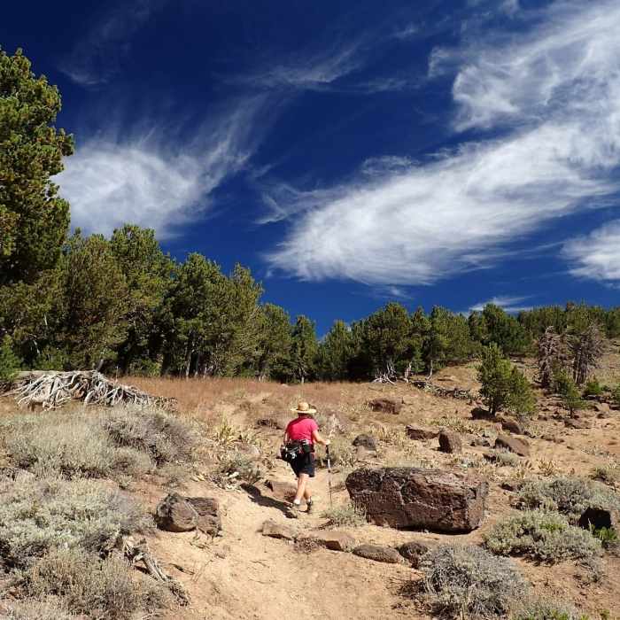
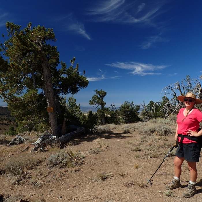
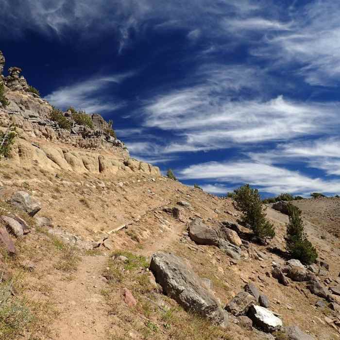
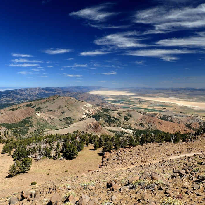
The northern terminus of this trail is at Pepperdine Campground; the southern terminus is at Patteron Camp. In between, the trail stays mainly on the western side of the divide, passing through relatively flat, open, large meadows and stands of pines and aspens. There are expansive views both east and west along this trail. The entire length of this trail is not often used, but sections of it are popular for accessing other trails or features such as Patterson Lake. The trail is mostly dirt singletack, with some occasional gravelly sections and rocky parts mixed in for good measure.
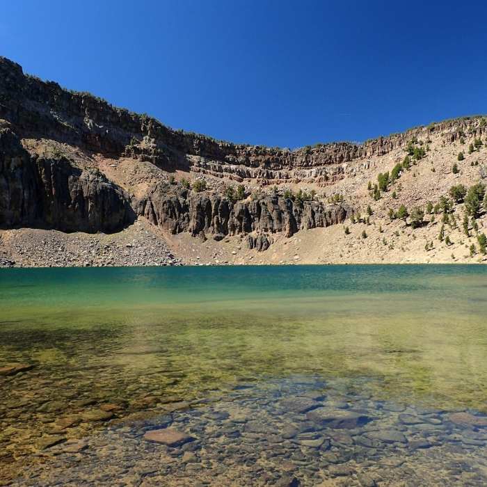
The most popular section of this trail is in the part that accesses Patterson Lake from Pepperdine Campground. Reaching the lake via the Pine Creek Trail #15E20 and a short section of the Summit Trail is also popular. Other parts of the Summit Trail are less frequented and will offer considerable solitude.
You may encounter cattle grazing here in the summer months, and this area is also popular with hunters from late summer into the winter.
No Condition Reports
Oregon Desert Trail (Seg. 8): Abert S to Colvin Timber
Oregon Desert Trail (Seg. 8): Abert S to Colvin Timber
Contributors

