Near Lakeside Greenbelt Trail
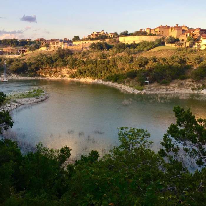
This trail takes you to the little beach finger you see sticking out into the water on the left side of the picture.
Near Lakeside Greenbelt Trail
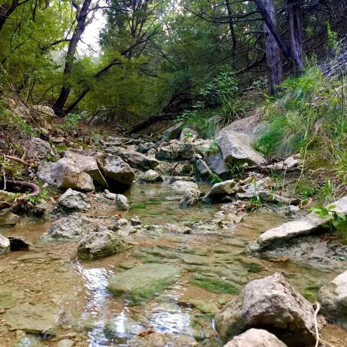
There are a few nice creeks to check out along this trail...just don't drink the creek water ;).
Near Lakeside Greenbelt Trail
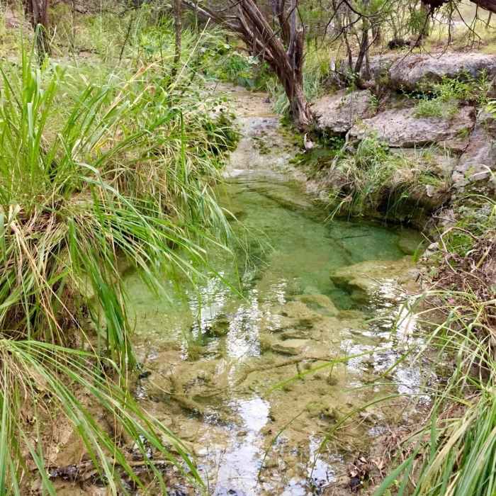
Most of the year, you'll hear the creek flowing as you come across the lower parts of the gullies.
Near Lakeside Greenbelt Trail
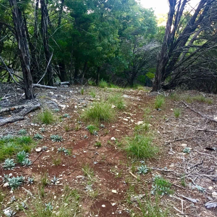
This is a typical path section on this trail.... there is some dead fall and 'needs work' sections...but mostly very easy to follow.

Looking for more photos?

View All Photos
Driving Directions
Hike Trail

Lakeside Greenbelt Trail

5.0 (1 Rating)
A great trail leading out to the Rough Hollow arm of Lake Travis and to further trails to the lake.
1.4
mi
Distance
217
ft
Gain
moderate
Difficulty
Fall ColorsFamily FriendlyLakeRiver/CreekSwimmingViewsWildlife
Access Issues
Although the water in the creeks may look clean, don't drink it! Bring plenty of hydration with you to prevent the urge.

Route Details

Flatter
Steeper
1.44mi
Distance
217ft
Elevation Gain
187ft
Elevation Loss
20%
Max Grade
797ft
High Point
739ft
Low Point
Path Type
Point to Point
Description
The Lakeside Greenbelt Trail is a great wooded path that winds around the canyon gullies leading out towards views of Lake Travis and the farther out Peninsula Pass Trail, from which you can get down to the lake itself for a dip or a nice photo op. Along the way, you'll have three creek crossings and plenty of 'interval workout' sections as you are pretty much going up and down the midsections of the canyons before you come to the crossing with the Peninsula Pass Trail. The trailhead is clearly marked with a sign and begins on the lake side of the Rough Hollow Bridge. Note that 'Rough Hollow' is a community within the City of Lakeway. There are two ways I would recommend you start this trail: Way 1: Find parking at the Rough Hollow Info Center just up the road from the bridge (towards Hwy 71), and then hike back to the bridge trailhead using the sidewalk access. OR Way 2 : Do this trail as a segment of a larger hike starting from the Lakeway Canyonlands and using the Rough Hollow Trail Connector to reach the trail.

Route Conditions

Report Conditions
Anonymous Adventurer
All Clear
Looking for more condition reports?
View History

Nearby Hike Routes

Lakeway Canyonlands & Mt. Lakeway Scenic View

Hike Route

Lakeway Canyonlands & Mt. Lakeway Scenic View

Birding
moderate
5.68 mi
+903 ft
Lakeway Canyonlands to Rough Hollow Cove

Hike Route

Lakeway Canyonlands to Rough Hollow Cove

Birding
strenuous
5.8 mi
+784 ft
Hamilton Greenbelt & Hurst Hollow Preserve

Hike Route

Hamilton Greenbelt & Hurst Hollow Preserve

Birding
moderate
2.81 mi
+261 ft
Hamilton Pool Loop

Hike Route

Hamilton Pool Loop

Cave
moderate
0.59 mi
+167 ft
River Place Nature Trail

Hike Route

River Place Nature Trail

Birding
strenuous
5.39 mi
+987 ft
Turkey Creek Trail

Hike Route

Turkey Creek Trail

River/Creek
moderate
2.61 mi
+166 ft
Contributors
Donovan Acker
