Near Trapper Creek #010
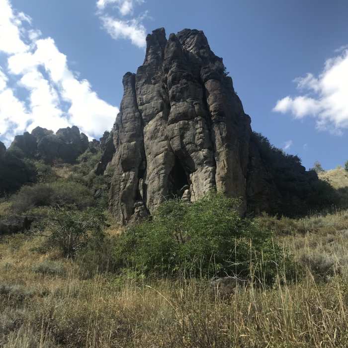
A small cave in the rhyolite cliffs above Trapper Creek.
Near Trapper Creek #010
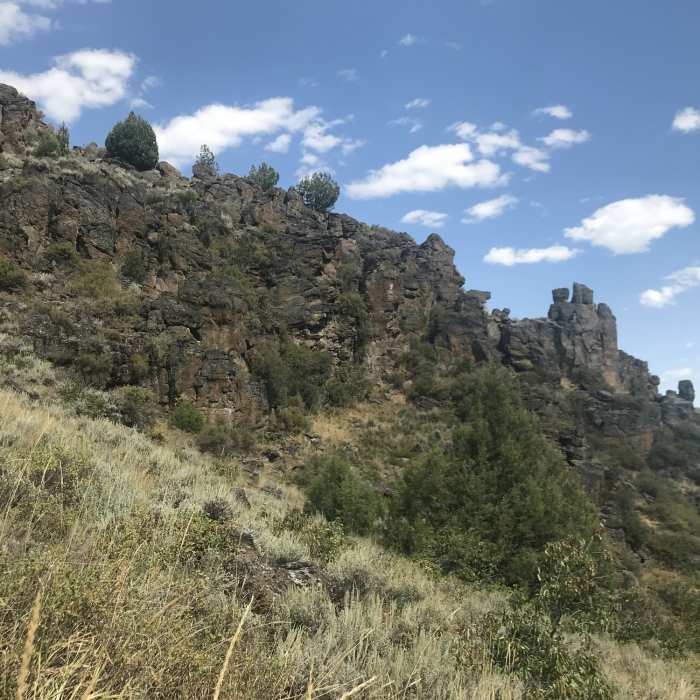
Rhyolite cliffs above Trapper Creek.
Near Trapper Creek #010
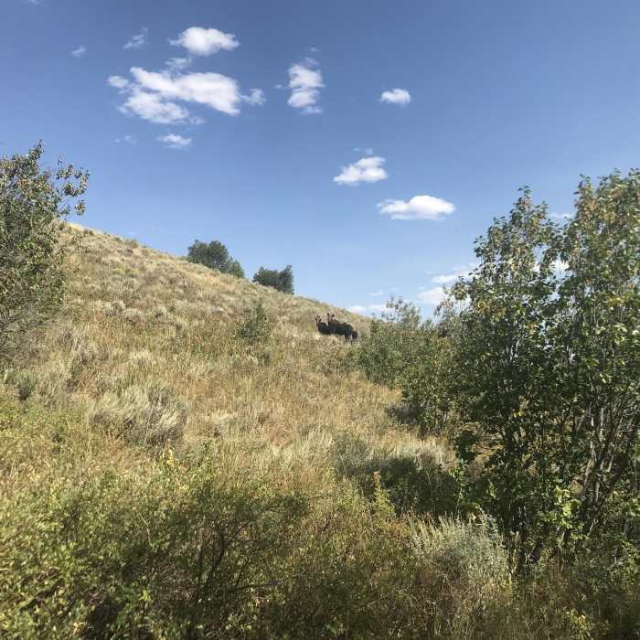
A moose with two calves near Trapper Creek.

Looking for more photos?

View All Photos
View Map
Driving Directions
Hike Trail

Trapper Creek #010

3.0 (1 Rating)
A lonely trail that follows a pleasant stream down the upper reaches of Trapper Creek.
1.8
mi
Distance
21
ft
Gain
moderate
Difficulty
BirdingCaveFall ColorsGeologically SignificantRiver/CreekViewsWildflowersWildlife

Route Details

Flatter
Steeper
1.8mi
Distance
21ft
Elevation Gain
748ft
Elevation Loss
20%
Max Grade
7,190ft
High Point
6,461ft
Low Point
Path Type
Point to Point
Description
This trail begins on FS road 533, right near a large switchback in the road. The trail drops over 700 feet as you pass by beaver ponds, through aspen groves, and across the creek (a few times). The creek usually flows year round, which is a rarity in many places throughout the South Hills. It also passes by some great rhyolite cliffs, which have some small caves.

Route Conditions

Report Conditions
No Condition Reports
Report Conditions

Nearby Hike Routes

Third Fork/Wahlstrom Hollow Loop

Hike Route

Third Fork/Wahlstrom Hollow Loop

Birding
moderate
9.05 mi
+1,841 ft
Bath Rock Hike

Hike Route

Bath Rock Hike

Views
easy
0.32 mi
+61 ft
Creekside Towers Hiking Trail

Hike Route

Creekside Towers Hiking Trail

Waterfall
easy
0.63 mi
+205 ft
Geological Interpretive Trail

Hike Route

Geological Interpretive Trail

Views
easy
0.57 mi
+140 ft
Backyard Boulders Trail

Hike Route

Backyard Boulders Trail

Views
easy
1.5 mi
+194 ft
Shoshone Falls

Hike Route

Shoshone Falls

Views
easy
0.29 mi
+14 ft
Contributors
Keaton Reed
