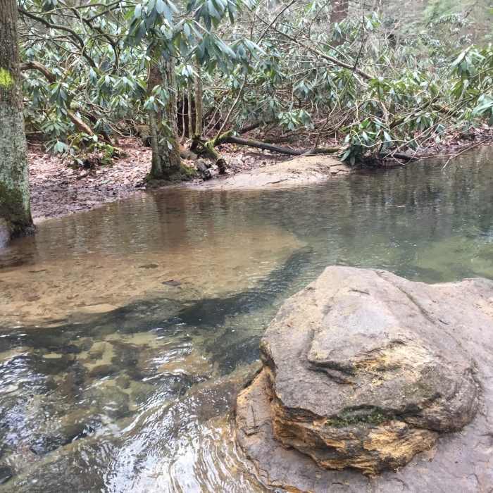
Near Forest Trail
Tibbs Run at one of two stream crossings on Tibbs Crossing Loop

Looking for more photos?

View All Photos
Driving Directions
Hike Trail

Forest Trail

3.0 (1 Rating)
This easy trail heads through upland hemlock and oak forest.
0.5
mi
Distance
42
ft
Gain
easy
Difficulty
BirdingFamily FriendlyWildlife
Access Issues
The gardens are open during daylight hours, and there is no access fee. The Lower Parking Area is open on weekends (weather permitting) and for events.

Route Details

Flatter
Steeper
0.49mi
Distance
42ft
Elevation Gain
43ft
Elevation Loss
15%
Max Grade
1,383ft
High Point
1,327ft
Low Point
Path Type
Loop
Description
This easy dirt trail moves through an upland forest. Along the way, you pass under many large hemlock and oak trees that make for a secluded experience. This trail is primarily accessed from the Reservoir Loop Trail but also connects to the Wetland Loop Trail, Farside Trail, and the Tibbs Crossing Trail.

Route Conditions

Report Conditions
No Condition Reports
Report Conditions

Nearby Hike Routes

Coopers Rock Grand Loop

Hike Route

Coopers Rock Grand Loop

Birding
moderate
9.81 mi
+1,530 ft
Cucumber Falls

Hike Route

Cucumber Falls

Views
easy
1.01 mi
+124 ft
Fork Run Loop

Hike Route

Fork Run Loop

River/Creek
moderate
7.65 mi
+964 ft
Sugarloaf Sled Hill to Falls Overlook

Hike Route

Sugarloaf Sled Hill to Falls Overlook

Fall Colors
moderate
4.54 mi
+148 ft
Ferncliff Trail

Hike Route

Ferncliff Trail

Family Friendly
easy
1.77 mi
+154 ft
Laurel Highlands Trail: Ohiopyle State Park

Hike Route

Laurel Highlands Trail: Ohiopyle State Park

Fall Colors
strenuous
10.76 mi
+2,820 ft
Contributors
Alex Dye
