Ready to explore this trail?
View Trail Map in AppPath Type
Point to Point
The trail to Square Ledge begins just across Route 16 from the Pinkham Notch Visitor Center. You can park in the lot for the Visitor Center, which is run by the Appalachian Mountain Club and has a small snack bar, restrooms, and most importantly, trail information.
From the driveway to the Visitor Center, cross Route 16 (carefully, there is no crosswalk and traffic is traveling at highway speed) and head to the right to find the trailhead. The trail starts with a series of bog bridges crossing a small marsh and streams, possibly created by the beaver dams you may see to your left. After the last bog bridge, the trail appears to split to the left and to the right--you'll want to turn sharp right. This is the Lost Pond trail, and after just a few yards, the trail to Square Ledge splits off to the left.
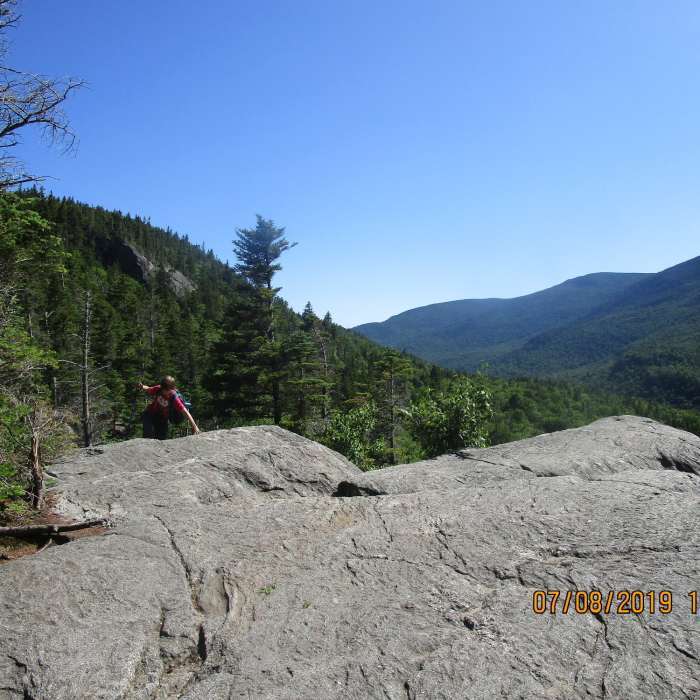
The trail to Square Ledge climbs uphill at a fairly consistent grade. At 0.1 miles, a small spur to the left takes you to an opening called Ladies Lookout. This is a quick diversion, giving you a sample of the view you'll find at the end of the trail. Further up, you'll find a geologic formation called Hangover Rock, which makes a good frame for photos of children "holding up the mountain".
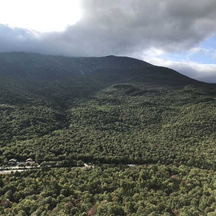
The last portion of the trail is the steepest, starting at the base of Square Ledge itself, climbing up a series of boulders along the right side of the ledge. You are very likely to find rock climbers avoiding this last bit of scrambling by roping up to climb the face of Square Ledge itself. After about 0.1 miles of scrambling up the boulders, you'll come around the back side, and a short jaunt puts you out onto Square Ledge. Mount Washington towers over Pinkham Notch with a view of Tuckerman Ravine in front of you. The Great Gulf and Northern Presidential Range extends to your right along with the summits of Mount Jefferson, Mount Adams, and Mount Madison. To your left is Boott Spur and Mount Isolation.
After enjoying the views from Square Ledge, retrace your steps to descend back to the trailhead.
No Condition Reports
Contributors

