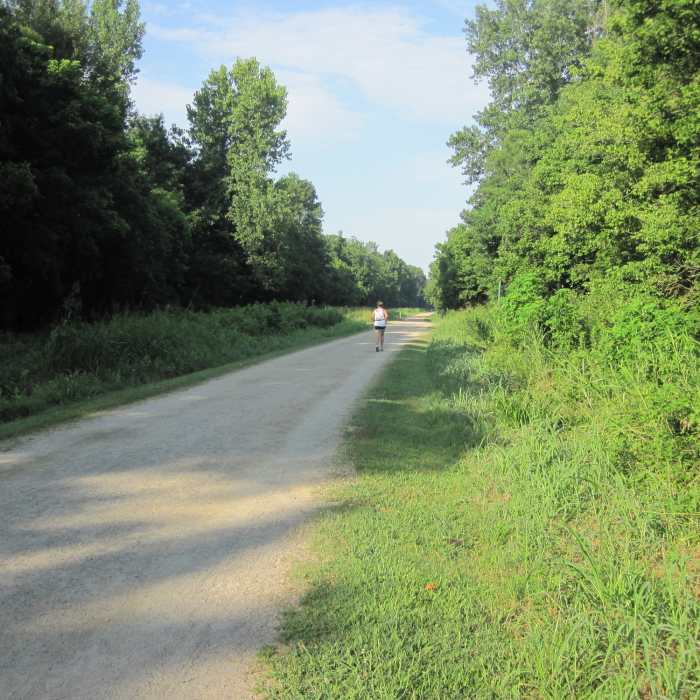
Near McAlpine Creek Greenway
McAlpine Creek Greenway
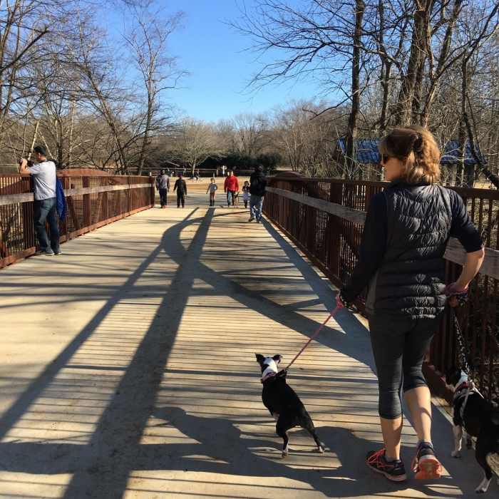
Near McAlpine Creek Greenway
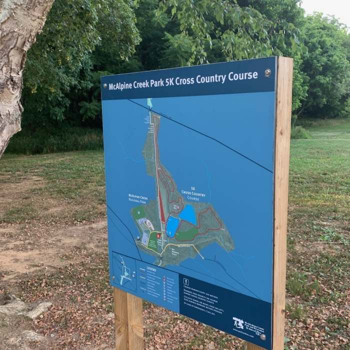
Map for McAlpine Creek park cross country course
Near McAlpine Creek Greenway
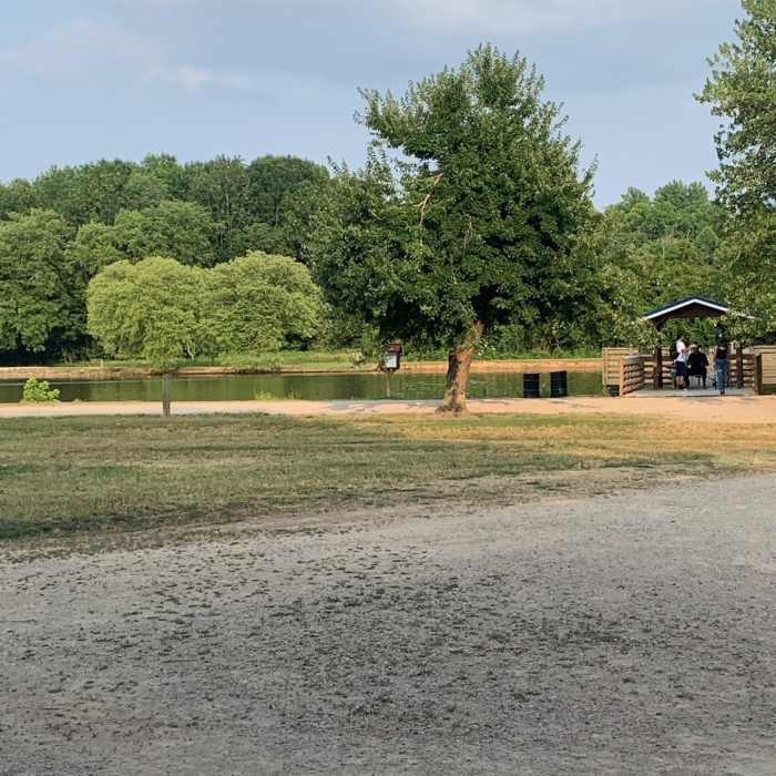
small pond with lots of goose running around.
Near McAlpine Creek Greenway
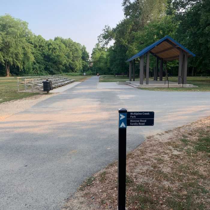
Playground & Marker on the trailway
Near McAlpine Creek Greenway
McAlpine Creek Greenway

Looking for more photos?

View All Photos
View Map
Driving Directions
Hike Trail

McAlpine Creek Greenway

4.3 (3 Ratings)
McAlpine Creek Greenway is a 2.8-mile paved trail that runs from Sardis Road to East Independence Boulevard.
2.6
mi
Distance
19
ft
Gain
easy
Difficulty
Fall ColorsRiver/CreekSpringWildflowersWildlife

Route Details

Flatter
Steeper
2.59mi
Distance
19ft
Elevation Gain
0ft
Elevation Loss
5%
Max Grade
586ft
High Point
562ft
Low Point
Path Type
Point to Point
Description
McAlpine Creek Greenway extends for 2.8 miles from Sardis Road to East Independence Boulevard. The entrance to the McAlpine Creek Trailhead is on Old Bell Road, off of Sardis Road. There are restrooms available at the trailhead. From the trailhead, there is a short access path that turns right and goes under Sardis Road before the paved greenway begins. The greenway then follows McAlpine Creek for 1.6 miles and goes under Monroe Road. After this underpass, the greenway goes under an interesting railroad trestle and then over a bridge crossing the creek. From there, the greenway runs along the edge of McAlpine Creek Park. There are many other spur trails that go around the park and pond. At the end of the park, the greenway crosses over the creek again and then continues for a short distance before crossing under East Independence Boulevard. At this point, the greenway ends and connects with Campbell Creek Greenway.

Route Conditions

Report Conditions
No Condition Reports
Report Conditions

Nearby Hike Routes

McAlpine Creek Loop

Hike Route

McAlpine Creek Loop

Birding
easy
2.53 mi
+0 ft
Main Loop Trail

Hike Route

Main Loop Trail

Fall Colors
moderate
4.91 mi
+264 ft
Reedy Creek - Big Oak, Umbrella, and Dragonfly Loop

Hike Route

Reedy Creek - Big Oak, Umbrella, and Dragonfly Loop

Birding
moderate
1.05 mi
+65 ft
Lake Haigler Loop

Hike Route

Lake Haigler Loop

Fall Colors
easy
1.44 mi
+86 ft
McDowell Park Loop A

Hike Route

McDowell Park Loop A

Fall Colors
moderate
1.4 mi
+158 ft
Seven Oaks Preserve Trail

Hike Route

Seven Oaks Preserve Trail

Family Friendly
moderate
5.18 mi
+107 ft
Contributors
Carolina Thread Trail
