Ready to explore this trail?
View Trail Map in AppPath Type
Point to Point
There are two trailheads; one just west of the Paint Creek Trail's intersection with State Forest Road (B25) and one off of Overlook Road. The Bluff Trail is a bit different from many of the other trails in Yellow River State Forest. It is decidedly rugged singletrack, with no stretches of wider lanes or horse trails--a welcome treat. It tends to fare better in wet conditions, as it doesn't have any springs or spots collecting water. It is also fairly quiet compared to many other trails, by virtue of it's off-the-beaten-path trailheads and challenging nature.
From the Paint Creek Trailhead, the trail climbs quite steeply, with steps in some places, up to a restored oak woodland. At the top, the trail wanders up and down through the woods which transition from sunny and open oak woodlands to cool and shaded maple stands.
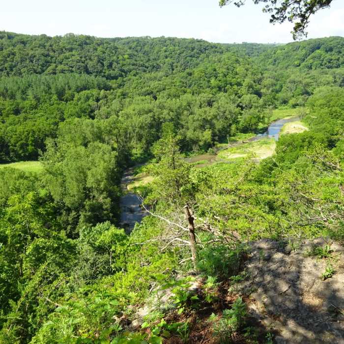
Multiple overlooks make this a particularly distracting segment of the Yellow River State Forest's larger backpacking loop. The shade of the maple stands is quite refreshing, and the oak woods provide just enough shade to moderate the heat on hot days.
The views are stellar, the wildflower show is spectacular, and the chorus of birds is truly something to behold in such a diverse woodland.
No Condition Reports
Contributors

