Ready to explore this trail?
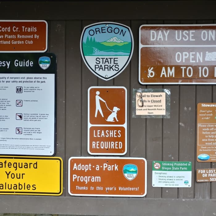
View Trail Map in AppThe trailhead is only open from 6am to 10pm (day-use only).
Path Type
Point to Point
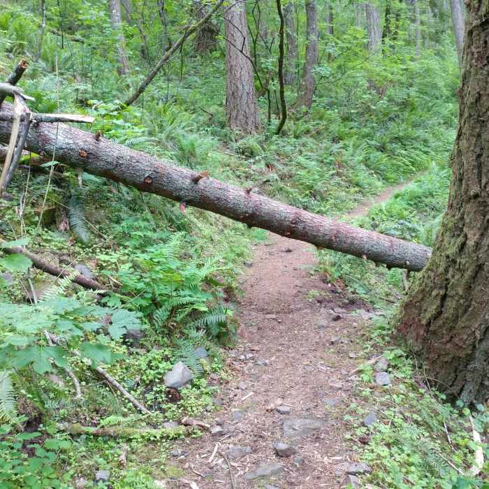
Trail Closure: Trailkeepers of Oregon is currently working to reopen this trail. If interested in helping please sign up at https://www.eventbrite.com/o/trailkeepers-of-oregon-14932207863.
You'll want to start this trail at the John B. Yeon Trailhead off I-84. Due to its proximity to the highway, the lot is considered a high-theft area, so take appropriate precautions.
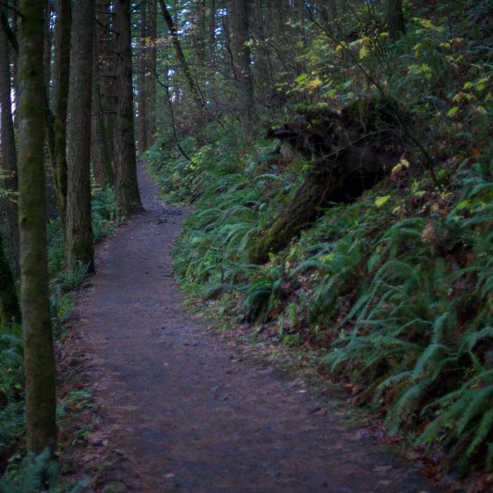
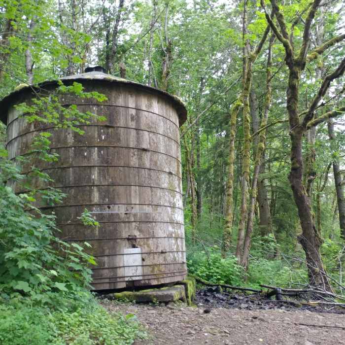
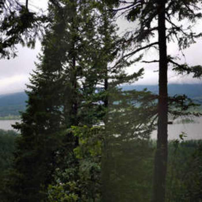
From the parking lot, head slightly west to the start of the trail, which is adjacent to the typical wooden kiosk near popular trailheads. Head up the trail (you'll see a water tank almost immediately) climbing consistently until reaching the intersection with Gorge Trail #400, which leads toward Elowah Falls and Upper McCord Creek Falls. There should be two signs, one facing uphill, and one facing downhill. Take a right toward the wooden one facing uphill. You'll eventually come to a point where the trail used to split, marked by a pile of wood blocking the path to the right. In case you don't notice it, just always bear left through this section and continue uphill. You'll soon cross a single stream (easily crossable in June), and a series of various open areas where the trees will give way to open skies. Most spots in this area give a decent view of Beacon Rock just across the Columbia.
With the first portion of the trail giving a non-trivial grade, the latter 3-4 miles provide a somewhat more challenging climb, albeit along softer terrain. There are various spur trails to viewpoints where you should exercise extreme caution.
Eventually near the end of the trail, you'll hit Nesmith Point Road. Bear right uphill and follow the road for just a short distance to reach the best view. You'll hit an old (I'm supposing recently destroyed) outhouse near the end of the road.
From the top, enjoy one of the best views on the Columbia River before making your way back down.
No Condition Reports
Rock of Ages Loop via Horsetail Falls Trailhead
Rock of Ages Loop via Horsetail Falls Trailhead
Munra Point Out and Back
Munra Point Out and Back
Upper McCord Creek Falls
Upper McCord Creek Falls
Elowah Falls
Elowah Falls
Horsetail, Ponytail + Triple Falls Hike
Horsetail, Ponytail + Triple Falls Hike
Beacon Rock Summit Trail
Beacon Rock Summit Trail
Contributors

