Near Brian McCreary Trail
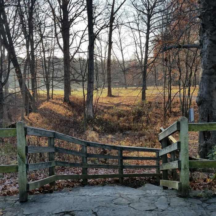
Fort Ancient north overlook, looking into the memorial
Near Brian McCreary Trail
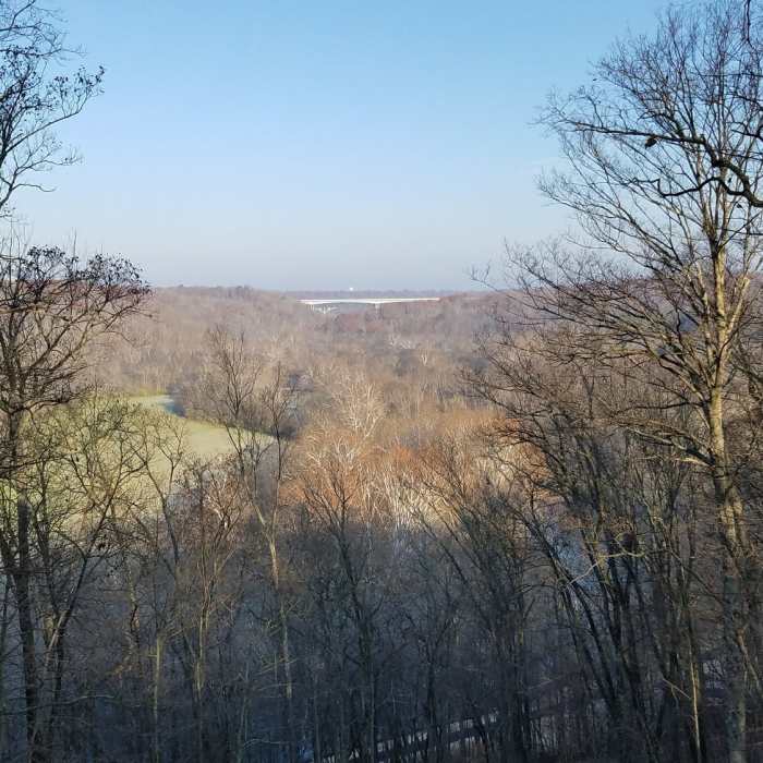
Fort Ancient north overlook looking north toward the I-71 Jeremiah Morrow Bridge in the distance
Near Brian McCreary Trail
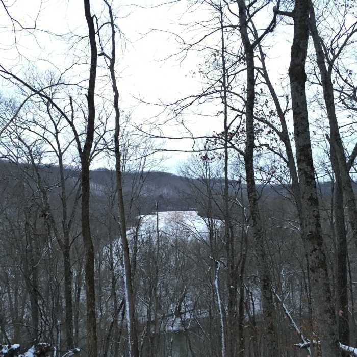
Little Miami River and Farmland in the Valley View
Near Brian McCreary Trail
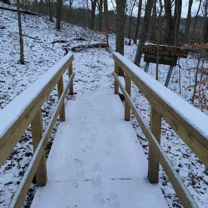
Bridge to the Terrace Trail

Looking for more photos?

View All Photos
View Map
Driving Directions
Hike Trail

Brian McCreary Trail

5.0 (1 Rating)
Gain access to the Fort Ancient State Memorial trails from the Little Miami Scenic Trail: Corwin to Morrow.
0.3
mi
Distance
215
ft
Gain
strenuous
Difficulty
BirdingFall ColorsViewsWildlife
Access Issues
Do not climb on the earthworks.

Route Details

Flatter
Steeper
0.28mi
Distance
215ft
Elevation Gain
0ft
Elevation Loss
25%
Max Grade
892ft
High Point
669ft
Low Point
Path Type
Point to Point
Description
This is also sometimes referred to as the Eagle Trail. You can access this trail from the Little Miami Scenic Trail: Corwin to Morrow. Park at the river access on Rt. 350, next to Morgan's Canoe Livery (do not park at the livery). From Rt. 350, follow the bike trail about 0.3 mile south to the trailhead. This steep trail takes you from the Little Miami River Valley floor to the top of the bluff overlooking the river. When you first access the trail, you'll cross a wooden bridge and then start up a slight slope. There are a couple flights of steep wooden steps to climb (very slippery when wet), and then you'll continue your climb upward. About halfway up, the trail meets up with the Terrace Trail on the right. You can either take that trail, or go the left to continue your climb (now the Terrace Trail and Brain McCreary Trail are merged). There is a small switchback, and then you climb a final set of shallow steps to the Fort Ancient north overlook.

Route Conditions

Report Conditions
No Condition Reports
Report Conditions

Nearby Hike Routes

Caesar Creek Lake Perimeter Trail

Hike Route

Caesar Creek Lake Perimeter Trail

Birding
strenuous
15.36 mi
+1,002 ft
Hisey Park Sampler Loop

Hike Route

Hisey Park Sampler Loop

Birding
moderate
3.23 mi
+206 ft
Miller Ecological Park Loops

Hike Route

Miller Ecological Park Loops

Birding
easy
2.62 mi
+56 ft
Carter Park Outer Loop

Hike Route

Carter Park Outer Loop

Birding
strenuous
1.74 mi
+165 ft
Broken Toe 25k & 50k

Hike Route

Broken Toe 25k & 50k

Fall Colors
moderate
13.85 mi
+1,209 ft
Long Branch Farm Perimeter Loop

Hike Route

Long Branch Farm Perimeter Loop

Birding
moderate
4.01 mi
+201 ft
Contributors
Rich Muskopf
