Ready to explore this trail?
View Trail Map in AppPath Type
There and Back
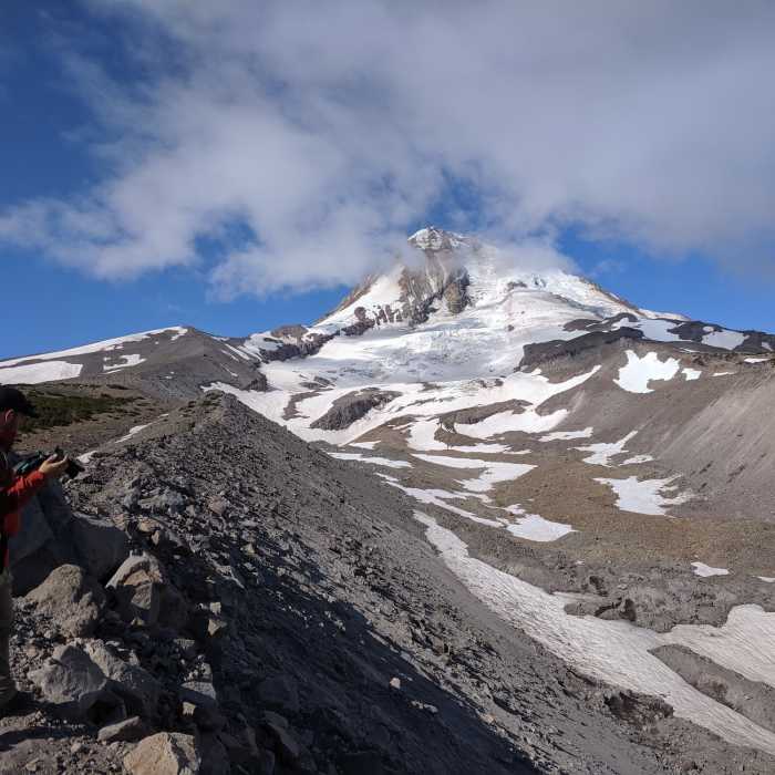
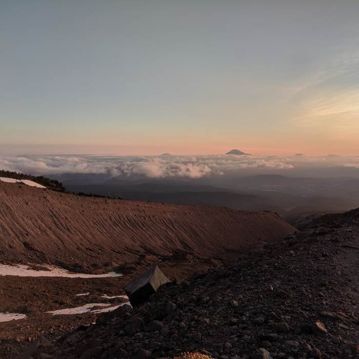
The Eliot Glacier Trail #600X is a high-elevation hike on the northeastern slopes of Mount Hood, offering exceptional views of the Eliot Glacier, the mountain's rugged peak, and distant Cascade volcanoes. The route spans approximately 2.8 miles round-trip, climbing from an elevation of 5,850 feet near the historic Cloud Cap Inn to a high point of 6,870 feet on the glacier's lateral moraine, with an elevation gain of roughly 1,190 feet.
The trail begins at the Cloud Cap Saddle Trailhead, initially following the Timberline Trail #600. At the trail junction, hikers can turn right onto the East Moraine trail to ascend directly along the ridge, or continue straight on the Timberline Trail toward the Eliot Branch, looping back along the moraine near the historic Cooper Spur stone shelter.
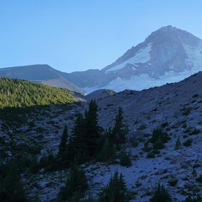
The pathway winds through a rugged landscape of volcanic scree, pockets of sand, and boulders of all sizes. The trail along the crest of the East Moraine is narrow and exposed but provides dramatic, bird's-eye views of the massive crevasses of Eliot Glacier and the deep canyon below.
No Condition Reports
Cairn Basin + McNeil Point via the Vista Ridge Trail
Cairn Basin + McNeil Point via the Vista Ridge Trail
Contributors

