Near Rough Creek Trail
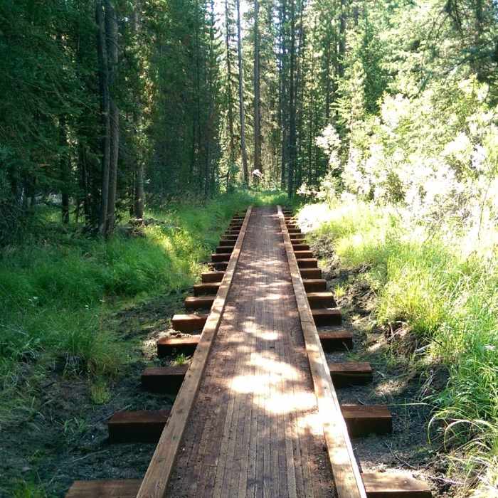
Great new bridges!
Near Rough Creek Trail
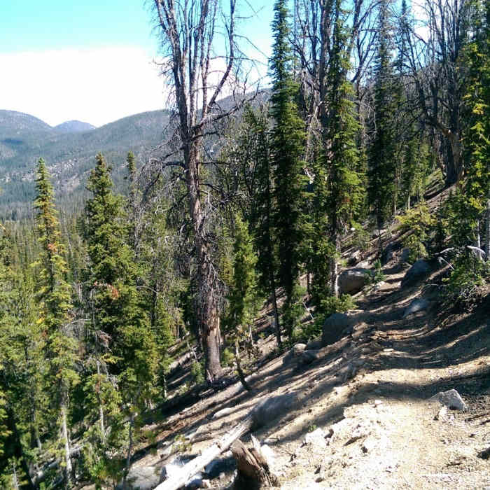
Almost to the top!

Looking for more photos?

View All Photos
View Map
Driving Directions
Hike Trail

Rough Creek Trail

5.0 (1 Rating)
A remote trail filled with alpine scenery.
6.1
mi
Distance
2,816
ft
Gain
strenuous
Difficulty
BirdingFall ColorsLakeRiver/CreekSwimmingViewsWaterfallWildflowersWildlife
Access Issues
Snowbound until July.

Route Details

Flatter
Steeper
6.12mi
Distance
2,816ft
Elevation Gain
291ft
Elevation Loss
35%
Max Grade
9,943ft
High Point
7,418ft
Low Point
Path Type
Point to Point
Description
The trail climbs gradually through some wet areas that have recently seen the installation of about 10 bridges, so it is a nice way to avoid some muck. After about three miles the trail will pitch up and this section is very rocky and about 3/4 of a mile long. You'll finally crest onto a ridge and reach a junction to the lookout. Stay right and traverse over to the pass. Take a break at the pass and take in the great views all around. From the pass, the trail continues to the left and heads up to the lookout. The last part to the lookout is steep with switchbacks. Continuing straight from the pass will take you onto the Sunny Gulch trail and down into the Garland Lakes area.

Route Conditions

Report Conditions
No Condition Reports
Report Conditions

Nearby Hike Routes

Find more hikes near: Stanley, IdahoClayton, Idaho
Redfish Lake Winter Hike

Hike Route

Redfish Lake Winter Hike

Lake
easy
4.89 mi
+100 ft
Alpine Way to Goat Lake

Hike Route

Alpine Way to Goat Lake

Lake
extreme
21.97 mi
+4,722 ft
Redfish Lake To Baron Lakes

Hike Route

Redfish Lake To Baron Lakes

Lake
extreme
26.68 mi
+5,095 ft
Fishhook Creek Trail

Hike Route

Fishhook Creek Trail

Views
easy
2.28 mi
+255 ft
Marshall Lake

Hike Route

Marshall Lake

Dogs Allowed
strenuous
9.4 mi
+1,765 ft
Alpine Way Trail, Fishhook Creek to Iron Creek

Hike Route

Alpine Way Trail, Fishhook Creek to Iron Creek

Dogs Allowed
strenuous
12.21 mi
+2,413 ft
Contributors
Chris Cook
