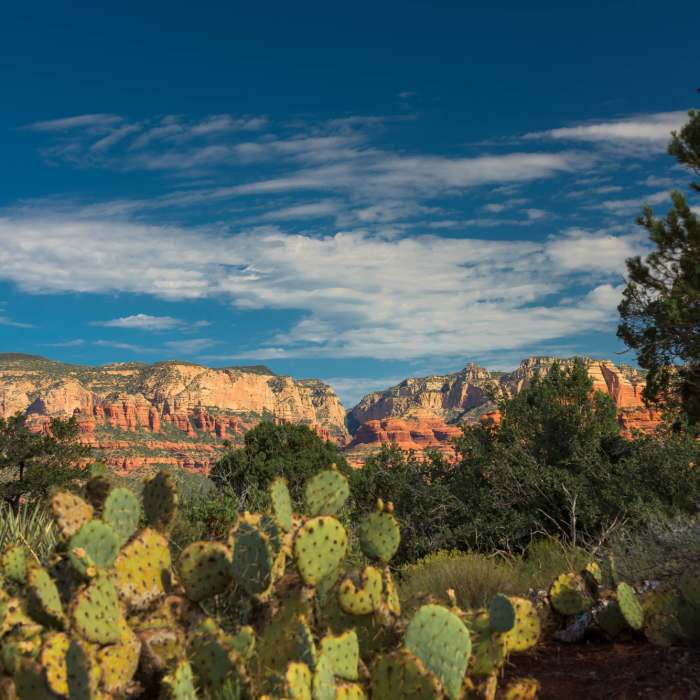
Near Girdner Trail
Cockscomb
Near Girdner Trail
Rocky trail.
Near Girdner Trail
Sedona - Cactus

Looking for more photos?

View All Photos
View Map
Driving Directions
Hike Trail

Girdner Trail

4.0 (3 Ratings)
A varied trail making lots of connections in the Dry Creek area.
5.1
mi
Distance
427
ft
Gain
strenuous
Difficulty
ViewsWildflowers

Route Details

Flatter
Steeper
5.11mi
Distance
427ft
Elevation Gain
588ft
Elevation Loss
20%
Max Grade
4,647ft
High Point
4,240ft
Low Point
Path Type
Point to Point
Description
From the parking area, this trail follows nice, smooth terrain through a confusing intersection with Snake Trail and then Anaconda Trail. Ascend to a small pass with great views, then descend rocky terrain, passing several more trails. Once past Rupp Trail, you can continue 2.4 more miles all the way to highway 89A. The trail continues along Dry Creek, which may have water in season, with some smooth sections through the forest. Numerous crossings have steep climbs up and down the creek banks. Eventually the trail leaves Dry Creek and climbs up to the South Gateway Visitor Center on Route 89A. The ascent has some sections of loose cobble, so watch your footing.

Route Conditions

Report Conditions
No Condition Reports
Report Conditions

Nearby Hike Routes

Western Gateway Loop

Hike Route

Western Gateway Loop

Views
moderate
8.7 mi
+698 ft
Mescal Mountain Loop

Hike Route

Mescal Mountain Loop

Views
moderate
4.65 mi
+463 ft
Devil's Bridge

Hike Route

Devil's Bridge

Geologically Significant
easy
3.97 mi
+579 ft
Chimney Rock Loop

Hike Route

Chimney Rock Loop

Family Friendly
moderate
2.05 mi
+545 ft
Chuckwagon--Brins Mesa

Classic Hike Route

Chuckwagon--Brins Mesa

Birding
moderate
5.14 mi
+726 ft
Long Canyon Out and Back

Hike Route

Long Canyon Out and Back

Birding
moderate
7.2 mi
+853 ft
Contributors
Condor77 77
