Ready to explore this trail?
View Trail Map in AppSee the Dallas County website for more information on Cottonwood Creed Preseve. You can also find all applicable rules and regulations here.
Path Type
Loop
This trail is for adventurous hikers only! At the date of this submission, the trails here are very overgrown and lack any maintenance. That being said, it does provide the user with the opportunity for some lightly traveled, off road enjoyment, not often found in the shadow of an urban jungle.
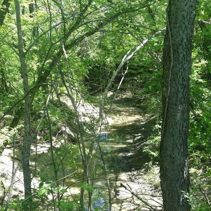
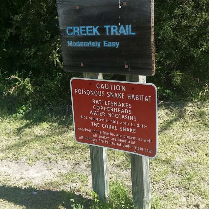
The trail begins at a nice parking area offering a well-maintained open field with a pavilion and picnic tables. You then journey to the wooded area to your north that follows along Cottonwood Creek. There are two trail markers on either side of the creek (not always standing). Both warn of potential encounters with local reptilian life in the form of snakes and yes, even alligators, so be prepared to mind your step as you wander along the creek banks.
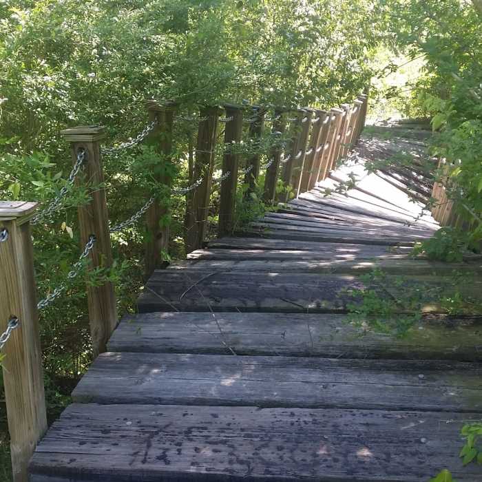
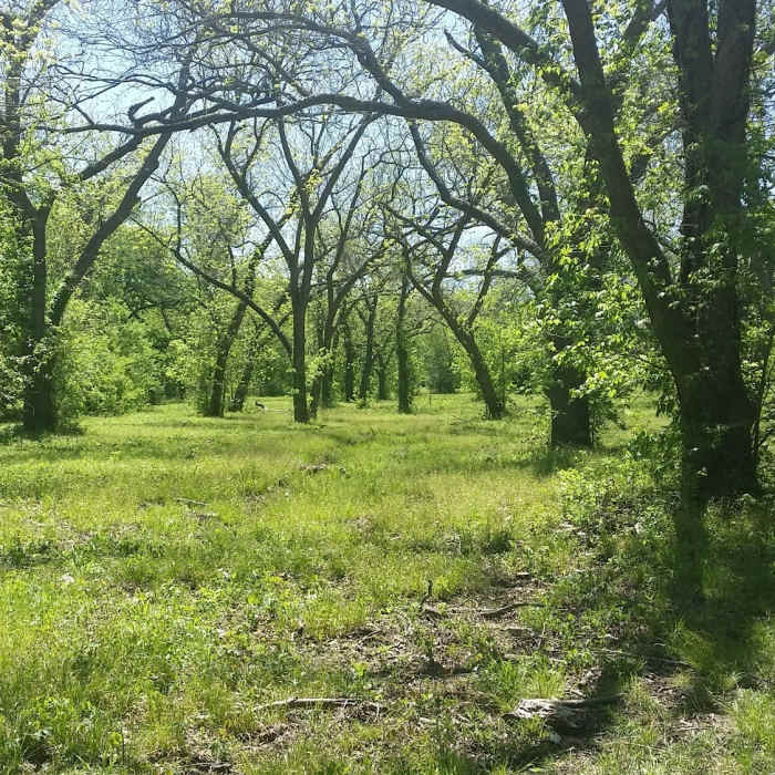
The trail follows the creek wandering in and out of large groves of trees. Some portions are in partially cut meadows, and others will have you up to your knees in local flora. Pants would be wise for this trail. Regardless of which trail you take they both connect at a small bridge that straddles Cottonwood Creek. BEWARE! At the time of submission, the bridge is in disrepair and should be considered hazardous/unusable to hikers. For a complete tour of this area, it would be wise to retrace your steps to the parking lot and cross the creek on the concrete spillway to enjoy the remaining section of this trail.
Overall, this is a great place for a small adventure. Please adhere to Leave No Trace principles when enjoying this area and remember to mind your step. At the right times of the year, it also provides you with many photo opportunities, as the fields are in full bloom with local wildflower varieties.
No Condition Reports
Contributors

