Near Maytag
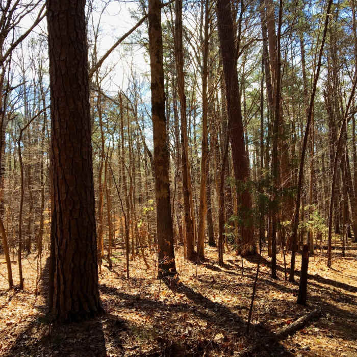
Long morning shadows crisscross Maytag.
Near Maytag
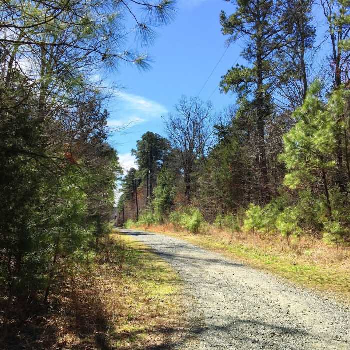
Duke Energy Corridor intersects Maytag near this spot.

Looking for more photos?

View All Photos
View Map
Driving Directions
Hike Trail

Maytag

3.5 (2 Ratings)
A gravel trail that cuts through eastern Carolina North Forest.
0.7
mi
Distance
14
ft
Gain
easy
Difficulty
BirdingRiver/CreekWildlife

Route Details

Flatter
Steeper
0.69mi
Distance
14ft
Elevation Gain
92ft
Elevation Loss
10%
Max Grade
533ft
High Point
430ft
Low Point
Path Type
Point to Point
Description
This trail is probably a fire road with open use. Off of Seawell School Road, take Entrance 3. You can park on the street. The trail starts as a gravel road and eventually become a thinner dirt path. The area is riddled with Mountain Bike and social hiking trails, which can make navigation a bit tricky. Use the Mobile App to keep you on track! Head downhill and you soon cross the the large open corridor of Duke Energy Corridor. Continue along and in a short while you meet up with The Glade trail. Stay to the right and the trail will terminate at the OWASA Corridor.

Route Conditions

Report Conditions
No Condition Reports
Report Conditions

Nearby Hike Routes

Battle Branch / Bolin Creek Loop

Hike Route

Battle Branch / Bolin Creek Loop

Birding
moderate
3.53 mi
+206 ft
Korstian Foot Trail Loop

Hike Route

Korstian Foot Trail Loop

Birding
moderate
6.82 mi
+644 ft
Duke Korstian Loop

Hike Route

Duke Korstian Loop

Birding
moderate
4.01 mi
+403 ft
Johnston Mill Loop

Hike Route

Johnston Mill Loop

Fall Colors
moderate
2.94 mi
+194 ft
Brumley Forest Nature Preserve Loop

Hike Route

Brumley Forest Nature Preserve Loop

Lake
moderate
5.58 mi
+304 ft
Brumley Nature Preserve North

Hike Route

Brumley Nature Preserve North

Birding
moderate
3.26 mi
+71 ft
Contributors
Russell Hobart
