Near Chopper Point
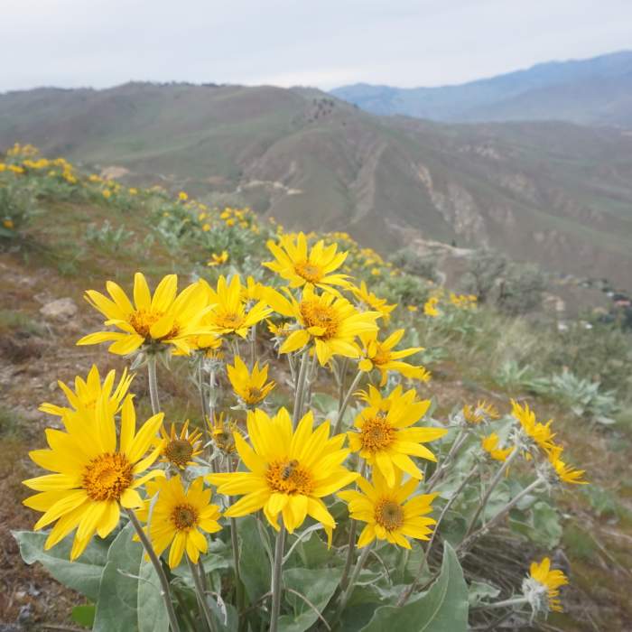
Nearing the end of balsamroot season, this past May.
Near Chopper Point
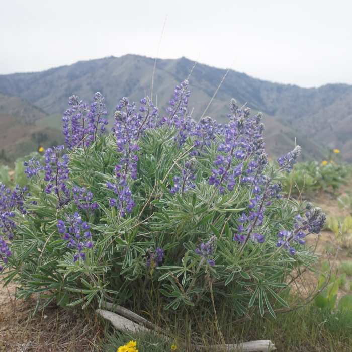
Lupine and Horselake Mountain

Looking for more photos?

View All Photos
Driving Directions
Hike Trail

Chopper Point

4.0 (1 Rating)
Amazing views of Number 1 and 2 Canyons, Mission Ridge, and Horselake Mountain (but you'll have to earn it)!
0.4
mi
Distance
792
ft
Gain
strenuous
Difficulty
ViewsWildflowers

Route Details

Flatter
Steeper
0.44mi
Distance
792ft
Elevation Gain
0ft
Elevation Loss
35%
Max Grade
2,435ft
High Point
1,641ft
Low Point
Path Type
Point to Point
Description
This short route will connect you to the community trail that straddles the ridgeline between Number 1 and 2 Canyons (and eventually it somehow meets up with the Number 2 Canyon trails). The footing on this is very loose in most places, so a good set of shoes with aggressive tread are necessary, as well as some trekking poles for the way down. There is no set trail, per se, so just follow the weaves of trails that people have made up the spine (it's pretty self-explanatory).

Route Conditions

Report Conditions
No Condition Reports
Report Conditions

Nearby Hike Routes

Squilchuck State Park Loop

Hike Route

Squilchuck State Park Loop

Fall Colors
moderate
5.19 mi
+609 ft
Clara and Marion Lakes

Hike Route

Clara and Marion Lakes

Fall Colors
moderate
2.59 mi
+981 ft
Swakane Canyon

Hike Route

Swakane Canyon

Views
strenuous
5.4 mi
+2,414 ft
Ingalls Creek to Lake Ingalls

Hike Route

Ingalls Creek to Lake Ingalls

Lake
extreme
29.11 mi
+5,317 ft
Xanadu Trail

Hike Route

Xanadu Trail

Views
moderate
3.68 mi
+0 ft
Iron Bear to Miller Loop

Hike Route

Iron Bear to Miller Loop

River/Creek
strenuous
15.82 mi
+4,161 ft
Contributors
Matt Slagle
