
Ready to explore this trail?
View Trail Map in AppThe park is closed on various dates for hunting. Check the park website.
Trails are not blazed. There are indicators at each intersection as to which way each trail heads off. Take a map or you can end up going in circles. There are some 'difficulty' blazes on the trail; this is a black diamond trail.
Path Type
Point to Point
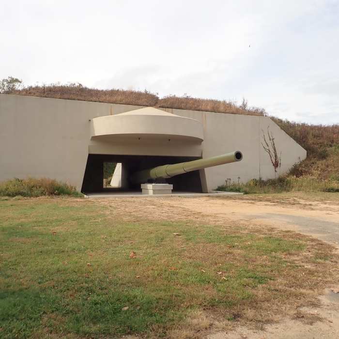
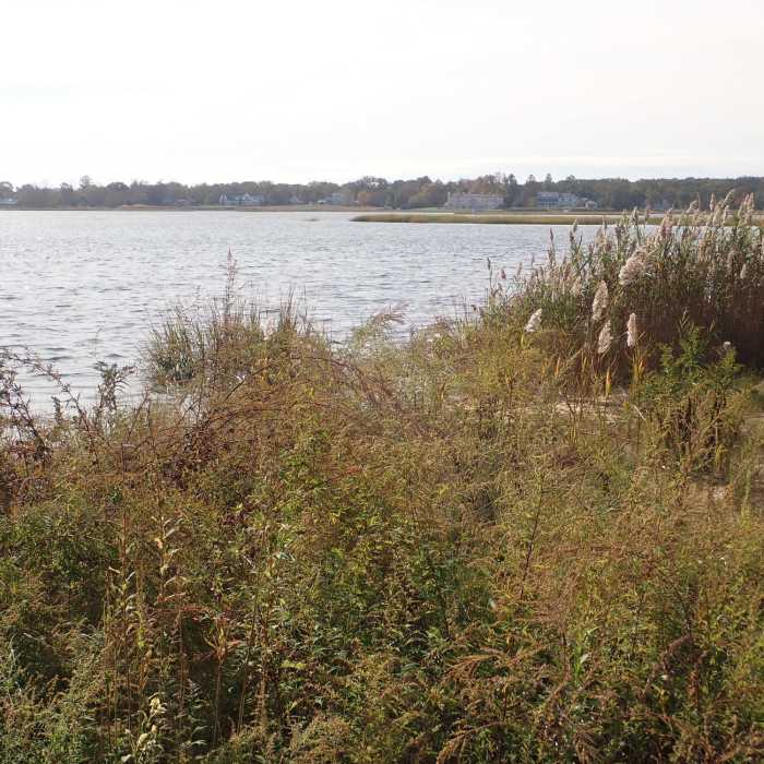
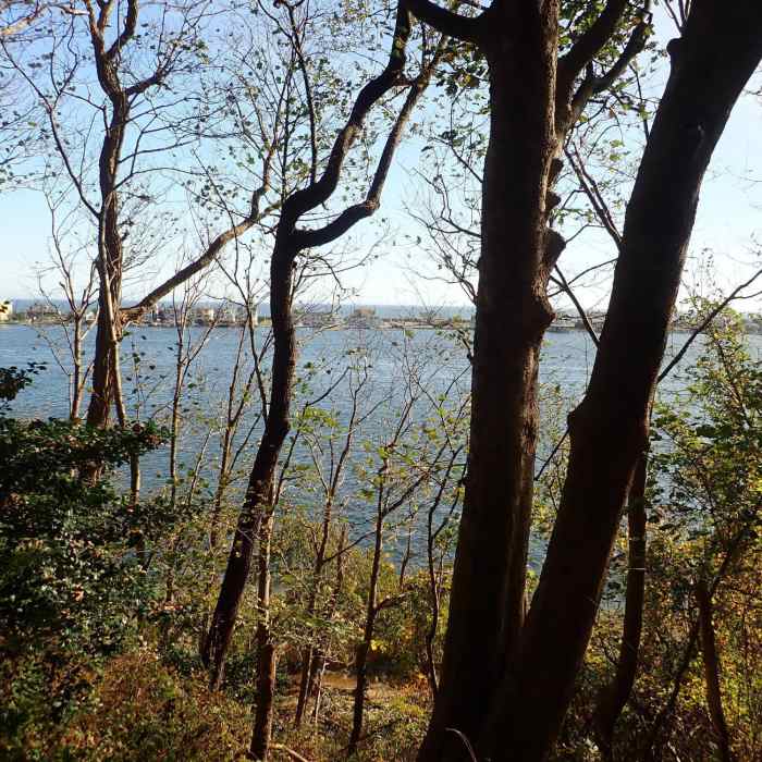
The Rocky Ridge Trail is in the Hartshorne Woods Military Historic district. There are several paved paths which go near the WWII gun batteries, but this trail goes below that section on an unpaved path along the edge of Rocky Point. It runs above the Shrewsbury and Navesink rivers, and there are several overlooks; at one point you can look over Sea Bright out to the Atlantic Ocean.
Make sure you take the side trail down to Black Fish Cove. There is a pier here sticking out into the Navesink river offering nice views of the surrounding area and Hartshorne Woods from below.
The trail starts at the northeast end of the parking lot. Ignore the paved path and find the dirt path into the woods. The trail ends up in the woods at a 6-way intersection with the Command Loop and the Grand Tour. A dirt road runs off to the west and a paved path heads off to the east back to the parking lot.
Some Issues
Some Issues
Looking for more condition reports?
Contributors

