Near Lakes/Watchtower Trail
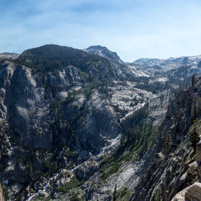
Marble Fork Kaweah River carving its way into the valley
Near Lakes/Watchtower Trail
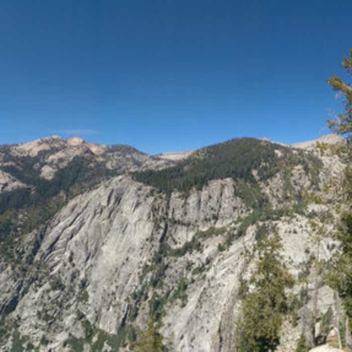
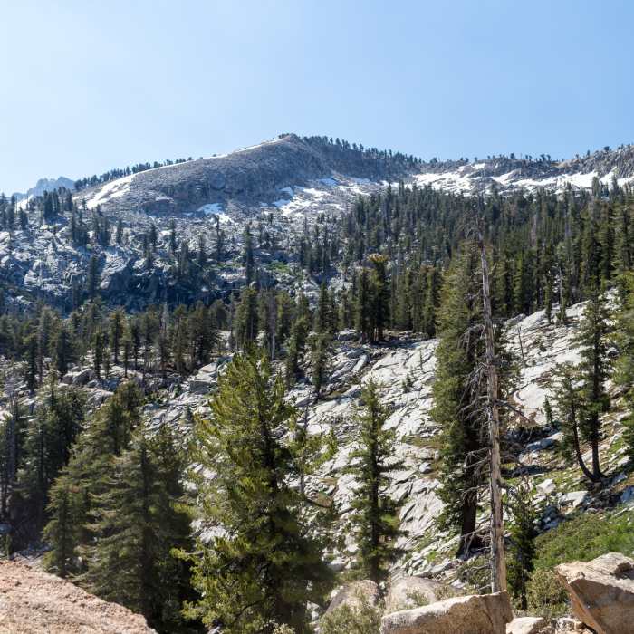
Lakes Trail: view down the canyon. The Watchtower is ahead but still not visible here.
Near Lakes/Watchtower Trail
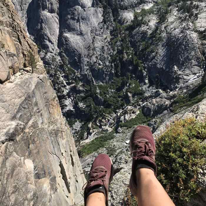
At the "Watchtower" looking straight down at "Tokopah Falls" below.
Near Lakes/Watchtower Trail
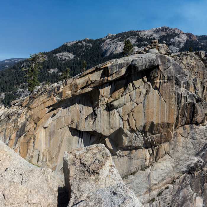
The Watchtower
Near Lakes/Watchtower Trail
View from Watchtower Trail

Looking for more photos?

View All Photos
View Map
Driving Directions
Hike Trail

Lakes/Watchtower Trail

4.6 (5 Ratings)
A stunning section of the Lakes Trail leading past a colossal granitic pinnacle overlooking a valley
2.2
mi
Distance
1,237
ft
Gain
moderate
Difficulty
River/CreekViewsWildflowers
Access Issues
This route is generally closed in winter months due to ice and snow along the trail and its sheer cliffs.

Route Details

Flatter
Steeper
2.25mi
Distance
1,237ft
Elevation Gain
39ft
Elevation Loss
60%
Max Grade
9,258ft
High Point
8,053ft
Low Point
Path Type
Point to Point
Description
From the Watchtower/Hump trail junction, continue ascending on this northern branch, following along the Watchtower Trail through the shady forest as it crosses a few seasonal creeks. Look for bright green corn lilies and abundant wildflowers along these creek beds in the early to mid summer. The trail then steepens and switchbacks a couple of times before reaching the Watchtower, a massive granite rock formation with sheer cliffs that overlooks the Tokopah Valley below. This is a rewarding spot to stop for a snack and enjoy the view. Continue up the trail as it becomes increasingly rocky where it has been blasted out of the granite cliffs. The trail then descends to the other end of the Watchtower/Hump Trail junction. Continue along the Lakes Trail to reach Heather, Emerald, Aster, and Pear lakes.

Route Conditions

Report Conditions
No Condition Reports
Report Conditions

Nearby Hike Routes

Tokopah Falls Trail

Hike Route

Tokopah Falls Trail

Family Friendly
moderate
3.77 mi
+572 ft
Lakes Trail

Hike Route

Lakes Trail

Lake
strenuous
12.47 mi
+2,930 ft
Alta Peak from Wolverton

Hike Route

Alta Peak from Wolverton

Geologically Significant
strenuous
13.62 mi
+3,965 ft
Lakes Trail

Hike Route

Lakes Trail

Lake
strenuous
5.36 mi
+2,761 ft
General Sherman

Hike Route

General Sherman

Views
easy
1.3 mi
+248 ft
Congress Trail

Hike Route

Congress Trail

Family Friendly
easy
1.89 mi
+275 ft
Contributors
Charlotte Reed
