


Ready to explore this trail?
View Trail Map in AppPath Type
There and Back
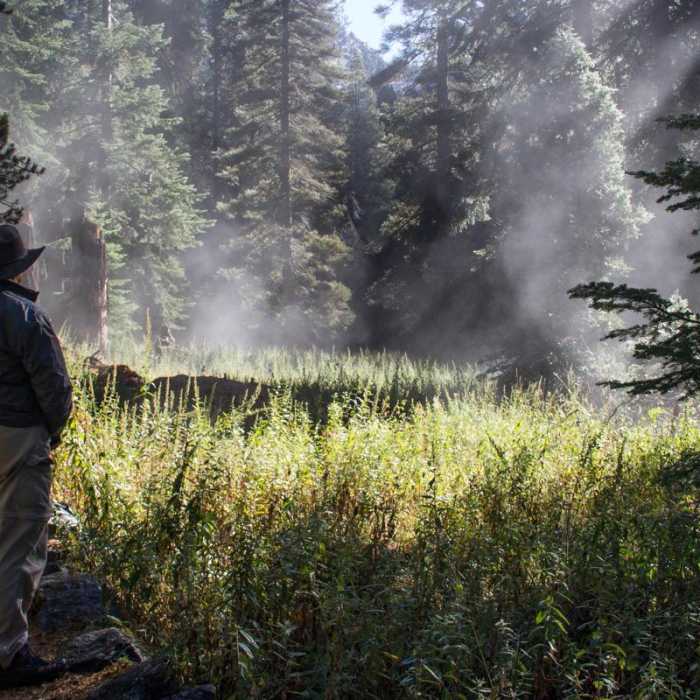
The Tokopah Falls Trail is a short and scenic hike that follows the Marble Fork of the Kaweah River to a stunning 1,200-foot cascading waterfall. Starting near the Lodgepole Campground, the trail gradually ascends through a glacially carved valley, offering views of towering granite cliffs, dense forests, and occasional wildlife sightings. With a gentle incline, this relatively easy hike provides a rewarding destination without requiring strenuous effort. The Topokah Falls Trailhead begins inside Lodgepole Campground. Inside the campground, follow the signs for the trailhead. The trail itself is well-worn and well-maintained. The trail is approximately 1.9 miles one-way, from trailhead to the waterfalls, with a constant gradual incline towards the destination. The trail follows a river within a forest and eventually goes through a rocky area with huge boulders. Once you get to this rocky area, you'll know that you are close to the waterfalls. Once you get to the end of the trail, relax and enjoy the views of the waterfall before heading back downhill towards the trailhead. Bug repellent is a must, along with sunscreen and water.
No Condition Reports
Contributors

