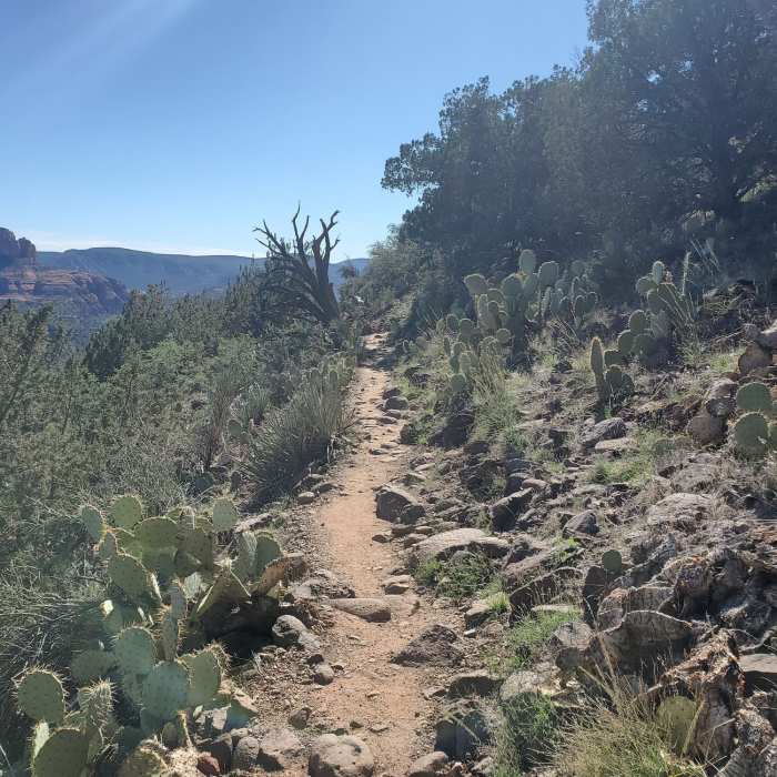

Near Airport Loop South
Great view.
Near Airport Loop South
Clear day vista.

Looking for more photos?

View All Photos
View Map
Driving Directions
Hike Trail

Airport Loop South

4.2 (15 Ratings)
A rocky trail that skirts the southeast edge of the Sedona Airport. Great views.
3.3
mi
Distance
523
ft
Gain
moderate
Difficulty
Views

Route Details

Flatter
Steeper
3.3mi
Distance
523ft
Elevation Gain
523ft
Elevation Loss
20%
Max Grade
4,739ft
High Point
4,463ft
Low Point
Path Type
Loop
Description
Airport Loop South climbs steadily from Bandit trail. This route has several rocky sections to navigate. As the trail comes to Tabletop, it levels out and has great views of the Oak Creek Valley. From Tabletop, Airport Loop South traverses the southeastern edge of the Sedona Airport. The route is up and down with a steady dose of rocks all the way to the Brewer trail intersection. Stay left to connect Airport Loop North back to Bandit.

Route Conditions

Report Conditions
No Condition Reports
Report Conditions

Nearby Hike Routes

Sugar Loaf Summit

Hike Route

Sugar Loaf Summit

Views
easy
1.49 mi
+341 ft
Pyramid Mountain Loop

Hike Route

Pyramid Mountain Loop

Less Crowded
easy
2.18 mi
+383 ft
Chimney Rock Loop

Hike Route

Chimney Rock Loop

Family Friendly
moderate
2.05 mi
+545 ft
Schuerman Vista

Hike Route

Schuerman Vista

Less Crowded
easy
0.87 mi
+354 ft
Cathedral Rock Trail

Hike Route

Cathedral Rock Trail

Family Friendly
strenuous
1.02 mi
+511 ft
Culture to Cockscomb Overlook Out-and-Back

Hike Route

Culture to Cockscomb Overlook Out-and-Back

Views
strenuous
8.31 mi
+1,109 ft
Contributors
Condor77 77
