



Ready to explore this trail?
View Trail Map in AppNO BIKES, horses, or motorized vehicles on the Heritage Trail. Be a considerate and safe trail user.
Path Type
Point to Point
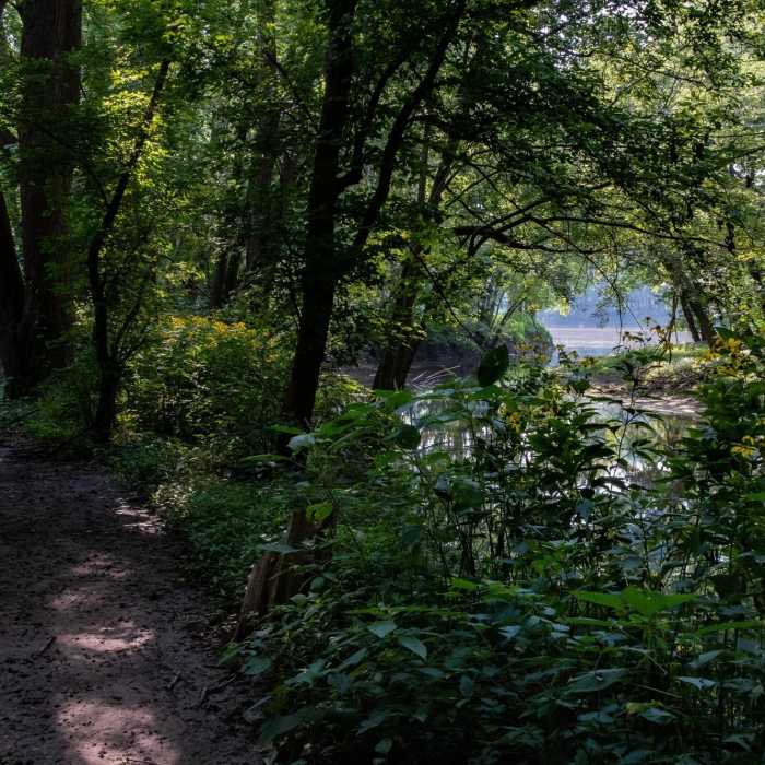
A nice quiet hike by the Wabash river.
This trail currently starts at Fort Ouiatenon and follows the Wabash river through downtown West Lafayette heading north along the Wabash River to Davis Ferry Park. Here it crosses the river via a pedestrian bridge and then follows Burnett Creek until it ends at Battlefield Memorial Park.
From the parking lot at Fort Ouiatenon, it is grass/wood chip for 200 yards where it turns into a paved section as it follows the road. After about 0.5 miles, it turns towards the river and is dirt for about 3.5 miles where it runs into town and is paved again. From here the main trail passes over a pedestrian bridge and then follows the river north. The first 2-2.5 miles from downtown are paved. The rest is singletrack (except for the 2nd pedestrian bridge) all the way to Battlefield Park. There is one creek crossing which can be skipped by crossing over Burnett Road if necessary. From here, the trail follows along Burnett Creek, which takes you under Highway 65, and spits you out at Battlefield Memorial Park.
The trail is generally good with some spots where roots and tree stumps can trip you up. There are also spots by the river and creek that can flood when the river is high. In turn, after the water recedes, there are typically patches of very muddy areas.
There are also a few spots with benches that you can sit and rest to take in the scenery if you choose.
This trail also connects to the Tippecanoe County Amphitheater Multi-Use Trails via a creek crossing about 0.5 miles north of Davis Ferry Park.
Some Issues
Looking for more condition reports?
Rocky Hollow Falls Canyon Nature Preserve: Trail 3
Rocky Hollow Falls Canyon Nature Preserve: Trail 3
Contributors

