Ready to explore this trail?
View Trail Map in AppRegional Classic
A must do route for the area handpicked by local experts.
A Canyonlands backcountry permit (recreation.gov) is required. Reach Spanish Bottom by jet-boat charter from Moab or packraft, or drive the Flint Trail's 4WD road to Maze Overlook instead. Avoid June-August heat.
Path Type
Loop
The route runs 51 miles over 6 days as described here, shorter if you skip the side canyons. It runs as a loop that can be started from either of two trailheads: Spanish Bottom, on the Colorado River at the base of the cliffs below the Doll House, reached only by jet-boat charter from Moab or packraft; or the Maze Overlook, reached by high-clearance 4WD, which joins the loop near Pictograph Fork. The suggested itinerary here starts from Spanish Bottom but can be adjusted to start/end at The Maze Overlook.
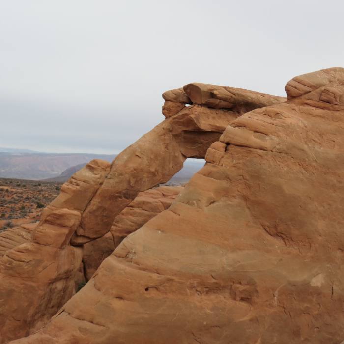
From Spanish Bottom, climb about 1,000 vertical feet on the Spanish Bottom Trail to the Doll House. A short detour reaches the Ancestral Puebloan granaries. Continue into Wide Valley. At 7 miles, reach the junction with Sweet Alice Canyon and camp. A side trip up Sweet Alice Canyon reaches Muffin Arch at its head.
Continue down Wide Valley to the head of Sand Tank Canyon, about 1.7 miles from camp. Drop packs here and hike up the Fins for a look at the formations and a glimpse of Tibbett Arch, then return to Wide Valley. Continue to Lou's Spring, reached by a 200-foot descent off the valley floor — the first dependable water since Spanish Bottom. Fill up here; the next sure source is a full day away. Camp at the spring.
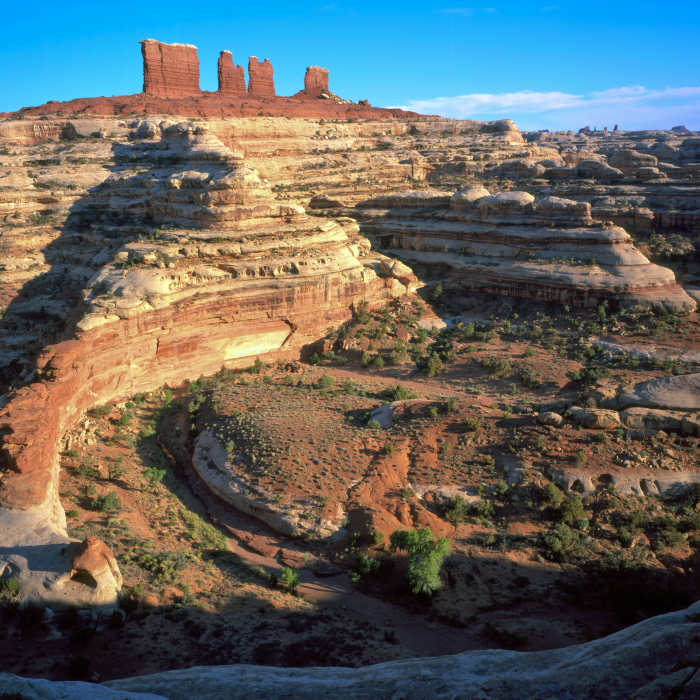
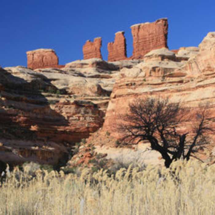
Climb back out of Lou's Spring the 200 feet to Wide Valley, then turn into Range Canyon and follow it downstream to its end. Climb out onto the Land of Standing Rocks, the mesa dividing the wider, shallower canyons to the south from the narrower, deeper canyons of the Maze proper. Tibbett Arch, Lizard Rock, The Plug, and Standing Rock are all visible along this stretch. Descend from here into Pictograph Fork via the Plug Route.
Crux: Descending from the Land of Standing Rocks into Pictograph Fork via the Plug Route requires downclimbing several rock steps. Lowering packs by rope makes the moves considerably easier, and 25-30 feet of rope is worth carrying for this section — the exposure gives some hikers pause, though the climbing itself is moderate. Camp in Pictograph Fork on the flat canyon bottom.
Continue up Pictograph Fork. Along the way, reach the Harvest Scene pictograph panel. Camp near the junction with the Pete's Mesa and Harvest Scene routes. From here, a spur up the Harvest Scene route climbs to the Maze Overlook, with views of the Chocolate Drops.
From camp, climb to Pete's Mesa, then drop into Shot Canyon, narrow and unmaintained. At the junction, turn down Water Canyon to a spring — the last reliable water on the route. Fill every container here; there is no more dependable water before the finish. Continue to camp above the Green/Colorado confluence, at the Confluence Overlook.
Retrace to the overlook trail and continue past Beehive Arch. At the Beehive Arch trailhead, turn onto the Doll House and Spanish Bottom trails to close the loop back at the river.
Arrange a jet-boat charter or packraft shuttle at Spanish Bottom before starting, or a high-clearance 4WD vehicle if starting and ending at the Maze Overlook instead.
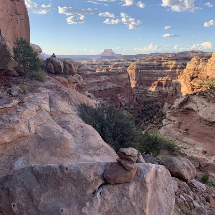
Water is the deciding factor on this route, not distance or elevation. Between Lou's Spring and the Water Canyon spring, sources are seasonal, unreliable, or dry outright depending on the year — ask a ranger about current conditions before you go, and plan each day's carry around these two points rather than hoping for something in between. A loaded pack with two gallons of water runs 55-60 pounds; budget accordingly. Cairns mark most mesa-to-canyon routes, but wash-bottom sections are often unmarked, and many canyons look alike — carry a topo map and GPS. A short rope (25-30 feet) is worth carrying to lower packs at the Plug Route descent and, if you detour up to the Maze Overlook, on the Maze Overlook Trail as well — both involve rock steps that are easier without a full pack on your back
No Condition Reports
Contributors

