Ready to explore this trail?
View Trail Map in AppPath Type
Point to Point
This trail begins with a relatively steep descent into a clearing. Late in the season, this clearing can have some very tall grasses, though ticks are not normally a problem in this region. After the clearing, you'll descend again to the banks of the south prong of Red Creek where you'll need to cross the creek. In the spring and early summer, the water here may be very high, making for a difficult crossing. Take caution with pets especially as the water may be swift.
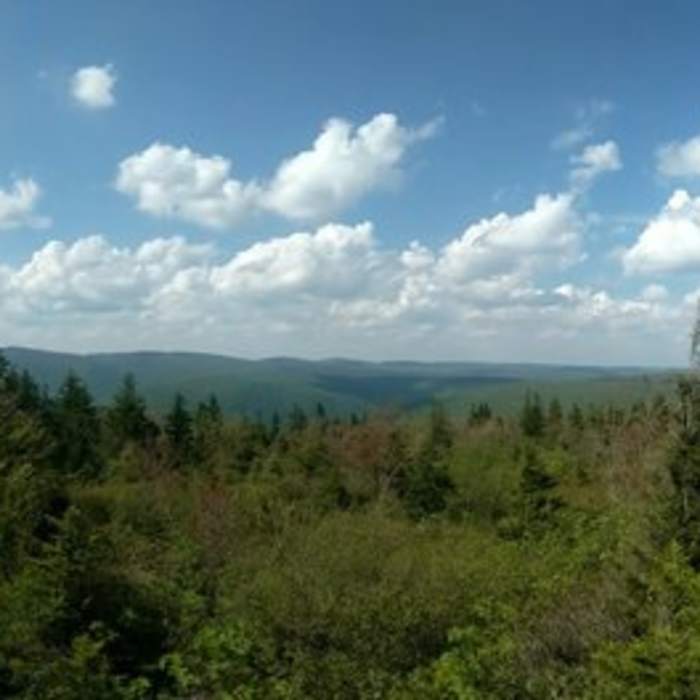
After Red Creek, you'll begin to ascend steeply. Some portions of the trail may be very rocky. Towards the top of the ascent, you'll be rewarded with beautiful views of the valley out of which you are climbing. At the top of the trail, you'll cross a larger creek again which may again have high water if the season has been wet or it is early spring.
This trail is very steep, though also short. There are a number of established camp sites at the southern terminus of the trail. The southern terminus is on a forest road which may be used to set up a car tarp or may be followed east to take South Prong Trail or followed west to access Roaring Plains trail.
No Condition Reports
Contributors

