Ready to explore this trail?
View Trail Map in AppPath Type
Point to Point
The trail is in an open area with no shade, which makes for a hot summer hike.
It starts 50 yards across and up the highway from the parking spot at Vista Point. Be careful crossing the highway, it can be very busy with lots of traffic.
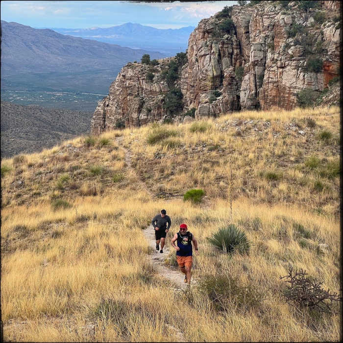
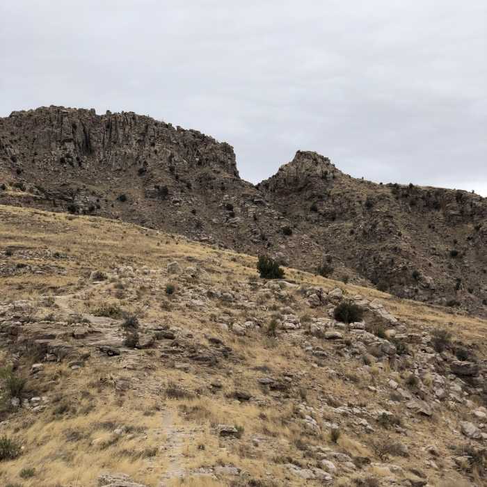
The beginning of the trail is not well marked, but just follow the slickrock wash. There are lots of paddle cacti, yucca, creosote bushes, and beautiful vegetation on the trail. Carefully work your way up the rocky wash.
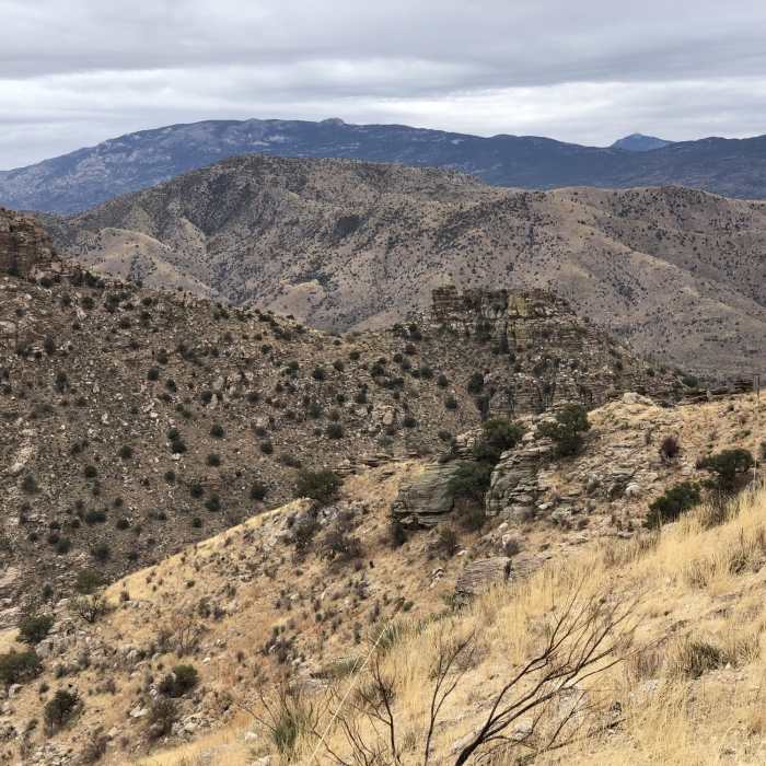
After 0.5 to 0.75 miles, the trail comes to a magnificent viewpoint overlooking Tucson. La Milagrosa Trail and Agua Caliente Canyon Trail are visible across the canyon to the south. The trail continues to wind up and back past some beautiful Saguaro cacti to the northeast.
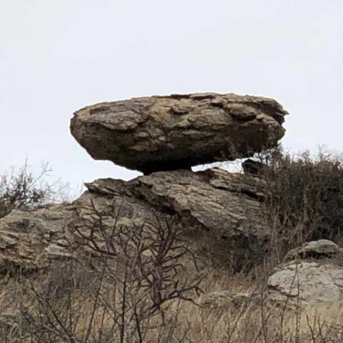
At the 1.6 mile point, the trail flattens out to a more gradual climb through some gorgeous rock formations. You'll come to a plateau with some small rock cairns and think you have reached the end of the trail but don't be fooled. Continue to head north for a quarter mile over a very beautiful dry waterfall that sometimes has water. The trail ends just as you cross over to the top of the dry waterfall where there is actually a sign saying 'End of the Babat Du'ag Trail'.
No Condition Reports
Arizona Trail Passage 11: Santa Catalina Mountains
Arizona Trail Passage 11: Santa Catalina Mountains
Contributors

