
Near Walnut Trail
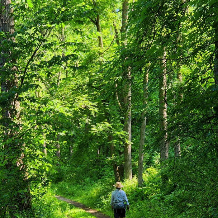
Along the Sykes Trail in midsummer.
Near Walnut Trail
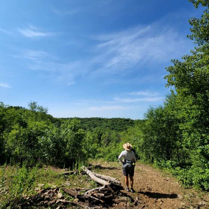
The view from the overlook.
Near Walnut Trail
On the Walnut Trail.

Looking for more photos?

View All Photos
View Map
Driving Directions
Hike Trail

Walnut Trail

3.0 (1 Rating)
An almost level hike through the west side of the Hay Creek forest.
1.1
mi
Distance
113
ft
Gain
moderate
Difficulty
BirdingFall ColorsWildflowers
Access Issues
This area is open year-round and no fees are charged for recreational use of Minnesota state forests other than camping.

Route Details

Flatter
Steeper
1.13mi
Distance
113ft
Elevation Gain
156ft
Elevation Loss
15%
Max Grade
923ft
High Point
773ft
Low Point
Path Type
Point to Point
Description
This trail connects the main parking area with the Outer Loop Trail across a drainage, around a ridge, and past a patch of farmland. Along with the Sykes Trail, it can be used to create a short hiking loop from the parking area.

Route Conditions

Report Conditions
No Condition Reports
Report Conditions

Nearby Hike Routes

Afton Tour North

Hike Route

Afton Tour North

Birding
moderate
9.8 mi
+1,039 ft
Northwest Day Use Area Loop

Hike Route

Northwest Day Use Area Loop

Dogs Allowed
easy
1.61 mi
+29 ft
Hidden Falls Trail

Hike Route

Hidden Falls Trail

Birding
easy
0.88 mi
+129 ft
Bailey School Forest Trail

Hike Route

Bailey School Forest Trail

Fall Colors
moderate
0.89 mi
+128 ft
Holland Lake Lollipop

Hike Route

Holland Lake Lollipop

Lake
moderate
7.38 mi
+331 ft
Lebanon Hills Regional Park

Hike Route

Lebanon Hills Regional Park

Birding
moderate
9.01 mi
+429 ft
Contributors
BK Hope
