Near South Bank Trail
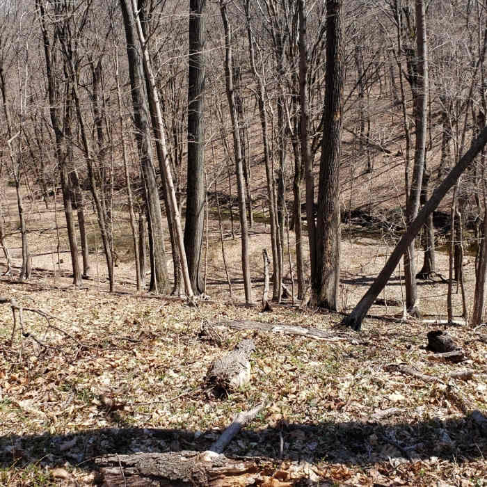
Looking down into the Fiddler's Creek ravine from the Fiddler's Creek Preserve Overlook trail
Near South Bank Trail
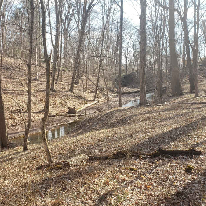
Fiddler's Creek ravine looking toward the South Bank Trail

Looking for more photos?

View All Photos
Driving Directions
Hike Trail

South Bank Trail

3.0 (1 Rating)
The South Bank Trail climbs from a stone crossing over Fiddler's Creek up the southern side of the creek ravine.
0.4
mi
Distance
59
ft
Gain
moderate
Difficulty
Fall ColorsRiver/CreekSpringWildflowers

Route Details

Flatter
Steeper
0.41mi
Distance
59ft
Elevation Gain
84ft
Elevation Loss
15%
Max Grade
119ft
High Point
58ft
Low Point
Path Type
Point to Point
Description
Branching off the Preserve's Ravine Trail, the South Bank Trail crosses Fiddler's Creek via a stone crossing. Much of the stones will be submerged and slippery with even moderate amounts of rain. The trail then trends away from the creek and up the south ravine slope through open woods ending at the end of a residential road, Wildwood Way, Titusville, NJ. A short hike down Wildwood Way, through the Titusville Methodist Church driveway and parking lot to the back of the adjacent cemetery will connect with the Washington Crossing State Park (NJ) Blue Dot Trail. This is all private property. Do not park here unless you get prior permission. From the Friends of Hopewell Valley Open Space website: "The tract is contiguous with the Ted Stiles Preserve at Baldpate Mountain, separated only by Fiddler's Creek Road. Mercer County, Friends of Hopewell Valley Open Space, Hopewell Township, and D&R Greenway partnered to protect this land. This preserve is co-owned with New Jersey Department of Environmental Protection, Mercer County Park Commission and Hopewell Township."

Route Conditions

Report Conditions
No Condition Reports
Report Conditions

Nearby Hike Routes

Washington Crossing State Park Loop

Hike Route

Washington Crossing State Park Loop

easy
4.59 mi
+365 ft
Tyler State Park Loop

Hike Route

Tyler State Park Loop

ADA Accessible
moderate
4.06 mi
+350 ft
Roebling Memorial Park Loop

Hike Route

Roebling Memorial Park Loop

Birding
easy
3.39 mi
+62 ft
Silver Lake and Observation Platform

Hike Route

Silver Lake and Observation Platform

Birding
moderate
0.97 mi
+0 ft
Peace Valley Nature Loops

Hike Route

Peace Valley Nature Loops

Birding
moderate
3.41 mi
+79 ft
Pennypack Paper Mill Loop

Hike Route

Pennypack Paper Mill Loop

Birding
moderate
6.15 mi
+294 ft
Contributors
Paul Gray
