Ready to explore this trail?
View Trail Map in AppA Discover Pass is required at Green Mountain State Forest.
This is a multi-use trail open to pedestrians, mountain bikers, equestrians, and dirt bikers in both directions. Sight lines are limited, so use caution.
Path Type
Point to Point
The Beaver Pond Trail is agreeable in either direction, but whichever side you approach it from, the terrain is rolling enough to make it feel longer than its 2.9 miles.
From the east, exit off of the Wildcat Trail and head up a mellow climb through the trees. The shorter undergrowth in this area gives the forest a nice, open feeling. After 0.3 miles, begin the gentle descent that continues across the road (GM-3).
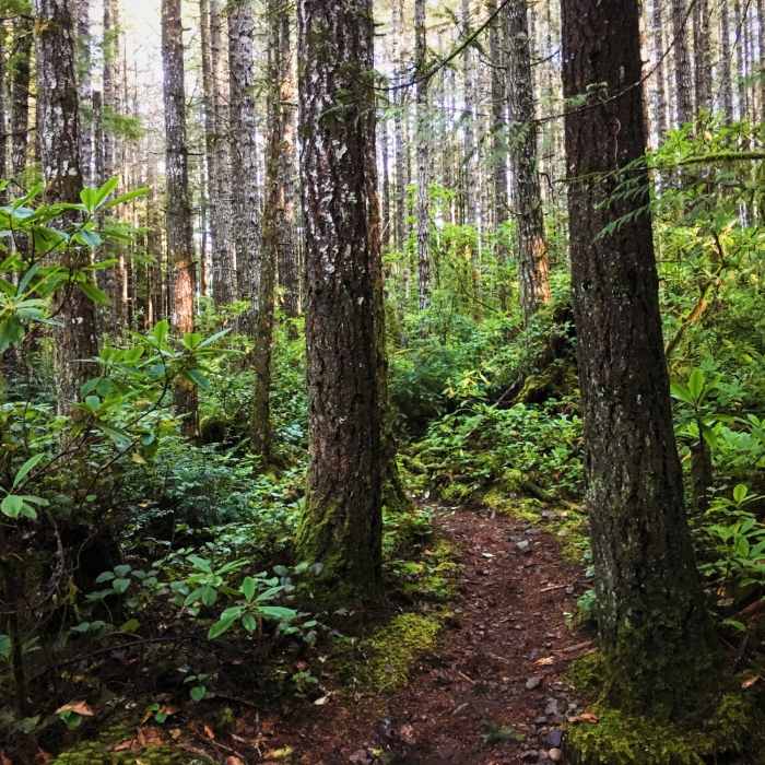
On the other side, the winding singletrack follows an entrenched channel as it weaves through the ferns and undergrowth. The forest, while denser here, is still quite lovely. Just past an unassuming creek crossing, the trail begins rising as it parallels a road.
The next section is pretty short and involves about a half mile of climbing as the trail bobs about past a shallow pond and clumps of salal. Cross over the road (GM-1) to arrive in a cool, mossy forest that leads to a swampy pond. The views are shrouded overall, but it's still a nice waypoint.
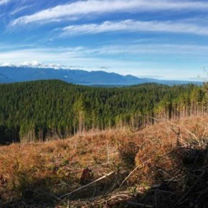
The trail becomes notably rocky as it begins to undulate en route to a bridge crossing. On the other side, it intersects with the Plummer Trail. The Beaver Pond Trail continues left and begins to climb. While it's still under the trees, the going is pretty easy, but as it enters the clearcut the grade steepens and the tread becomes rocky and loose. This last section is a bit of a grind, but it's doable. Fortunately, the views get better as you climb, and before you know it, you'll arrive at the intersection with the Gold Creek Trail.
No Condition Reports
Contributors

