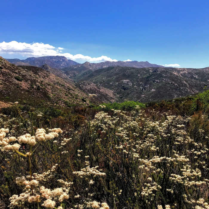
Near Espinosa Equestrian Trail
California Buckwheat is all over the place on the trail
Near Espinosa Equestrian Trail
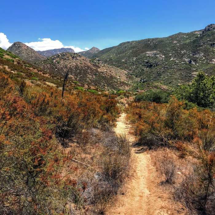
Breaking into more open trail
Near Espinosa Equestrian Trail
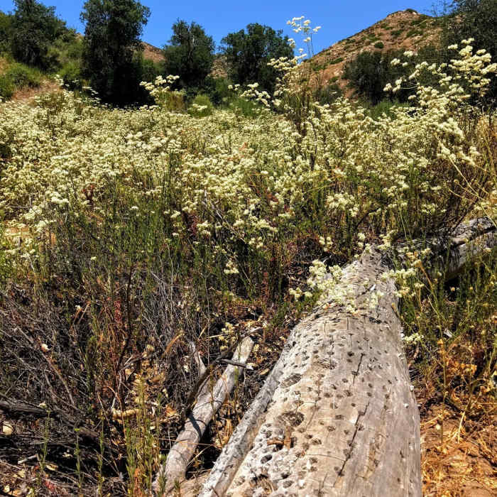
A fallen tree featuring the work of an acorn woodpecker.

Looking for more photos?

View All Photos
View Map
Driving Directions
Hike Trail

Espinosa Equestrian Trail

4.0 (1 Rating)
A rustic trail that loops into the main Espinosa Trail
2
mi
Distance
145
ft
Gain
moderate
Difficulty
BirdingRiver/CreekSwimmingViewsWildflowers

Route Details

Flatter
Steeper
2.04mi
Distance
145ft
Elevation Gain
629ft
Elevation Loss
40%
Max Grade
2,539ft
High Point
1,929ft
Low Point
Path Type
Point to Point
Description
Look for the metal horse-gate you see right from the parking lot. The trail starts with a short rise to a boulder-strewn summit. Almost 0.5 miles in, there is a vista off to the left. Shortly afterwards, the trail turns north and heads downhill, arriving in a more verdant drainage which features some live oak and more birds. You follow the drainage downhill until you meet the thicker foliage along the creek. The trail flattens out as you head up creek and eventually come to the Espinosa Trail. Don't forget to head down to see the beautiful water-carved rock of the creek, along with a couple of ancient Indian 'morteros' (grinding surfaces).

Route Conditions

Report Conditions
No Condition Reports
Report Conditions

Nearby Hike Routes

Lawson and Gaskill Peaks

Hike Route

Lawson and Gaskill Peaks

Views
strenuous
7.17 mi
+2,654 ft
Lawson Peak

Hike Route

Lawson Peak

Views
moderate
2.23 mi
+1,549 ft
Viejas Mountain

Hike Route

Viejas Mountain

Views
moderate
3.09 mi
+1,470 ft
Hollenbeck Canyon Loop

Hike Route

Hollenbeck Canyon Loop

Views
moderate
12.69 mi
+1,682 ft
Hollenbeck Canyon Perimeter Loop

Hike Route

Hollenbeck Canyon Perimeter Loop

moderate
14.44 mi
+1,959 ft
Kitchen Creek Falls

Hike Route

Kitchen Creek Falls

Less Crowded
moderate
4.78 mi
+819 ft
Contributors
Russell Hobart
