
Ready to explore this trail?
View Trail Map in AppPath Type
Point to Point
The Cat Gap Loop trail circles John Rock. You can pick up the trailhead for the Cat Gap Loop at the Pisgah Center for Wildlife Education & Fish Hatchery. There is free parking here and you can use the bathrooms and water fountain at the Wildlife Education building during business hours.
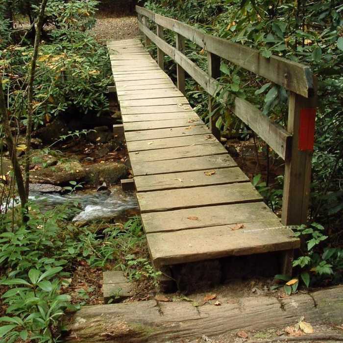
I recommend you hike the loop eastward (clockwise, as shown) around John Rock. This is also the best place to start if you want to hike to John Rock and head back out the way you came. The eastern trailhead is at the far east end of the parking lot (farthest from buildings). The trail will start with an orange blaze, and you'll cross the bridge and continue along the Davidson River.
The western trailhead is at the southern end of the parking lot (near the buildings). Stand with the Wildlife Education Center on your right and you'll see Forest Service Road 475C. Go around the vehicle bar gate and immediately cross a bridge with an orange blaze.
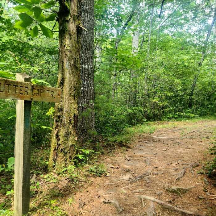
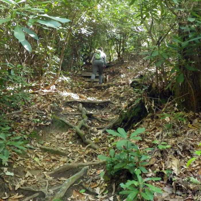
You'll pass a large campsite in a hemlock grove, and gradually begin a gentle uphill climb. You'll cross several small foot bridges over tributary streams as you gently begin to ascend into Horse Cove. You'll cross over Forest Service Road 475C before arriving at a signpost at the intersection of the Cat Gap Loop Trail and John Rock Trail #365.
If you turn north (yellow blaze), you'll ascend to the top of John Rock via the John Rock Trail #365. If you continue to follow the Cat Gap Loop (orange blaze) you'll bypass John rock and continue in a general southwest direction. Eventually, you'll come upon a 4-way trail intersection as you meet back up with the western leg of the John Rock Trail #365 and the Cat Gap Bypass Trail #120A.
Unless you're connecting to the Art Loeb Trail, I recommend you skip the southern section of the loop by taking the Cat Gap Bypass Trail #120A. The bypass avoids the steep and uneventful part of the Cat Gap Loop.
Continue down the trail and you'll eventually come to a large open area called Picklesimer Fields, which is like a miniature version of the Pink Beds in Pisgah National Forest. This flat area is a good place to camp along the loop. As you proceed northwards, the trail will begin to level off, and you'll pass the small dam that diverts water to the hatchery.
After the rock hop crossing of some small streams and a bridge, you'll pop out at the south end of the parking of the Center for Wildlife Education & Fish Hatchery.
No Condition Reports
Contributors

