Ready to explore this trail?
View Trail Map in AppCould close due to weather conditions. Slaughter Canyon Cave can only be accessed via a ranger-led tour; for more information, visit the park's website.
Path Type
Point to Point
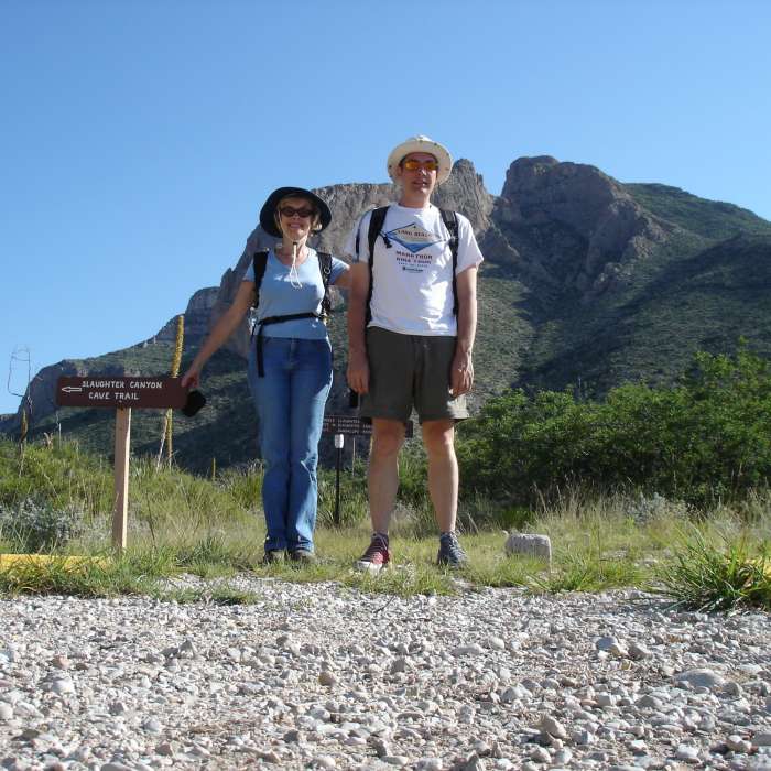
The road leading to the trailhead is gravel and low clearance vehicles are not recommended for this road. Once you arrive at the parking area there are pit toilets and to the right of those is the trailhead for the Slaughter Canyon Cave Trail. It automatically starts to gain elevation as soon as you hit the trail.
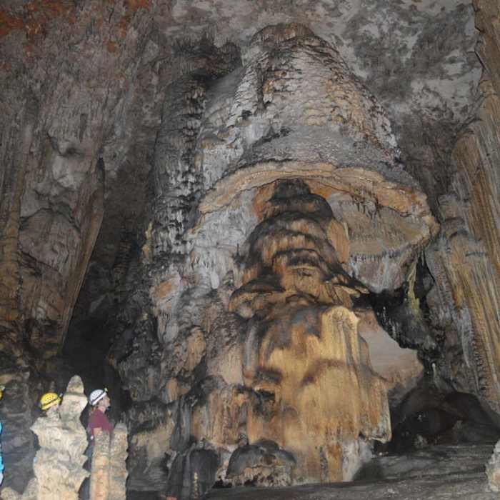
This trail is a steep semi-developed trail that leads you up to the entrance of Slaughter Canyon Cave. The trail is accessible to anyone who would like to travel it, however, the cave is only accessible to visitors that are signed up to go on the ranger-led tour of the cave. This trail offers awesome views of Slaughter Canyon from any point along the trail. Watch out for Barbary Sheep and other wildlife while hiking the trail. In the spring, it offers a very colorful experience with cacti and wildflowers blooming.
Please visit www.nps.gov/cave to check park alerts and get more information on the tours offered.
No Condition Reports
McKittrick Canyon: Lower Section to the Grotto and Pratt Lodge
McKittrick Canyon: Lower Section to the Grotto and Pratt Lodge
Contributors

