Ready to explore this trail?
View Trail Map in AppPath Type
Loop
The Chuck Keiper Trail is a 50 mile backpacking trail in the remote Pennsylvania Wilds. The trail can be done as one larger 50 mile loop or use the East Branch trail to create a 31 mile or 24 mile option. Starting from the main parking area on Rt. 144, across from swamp branch rd., hike the trail in a counterclockwise direction.
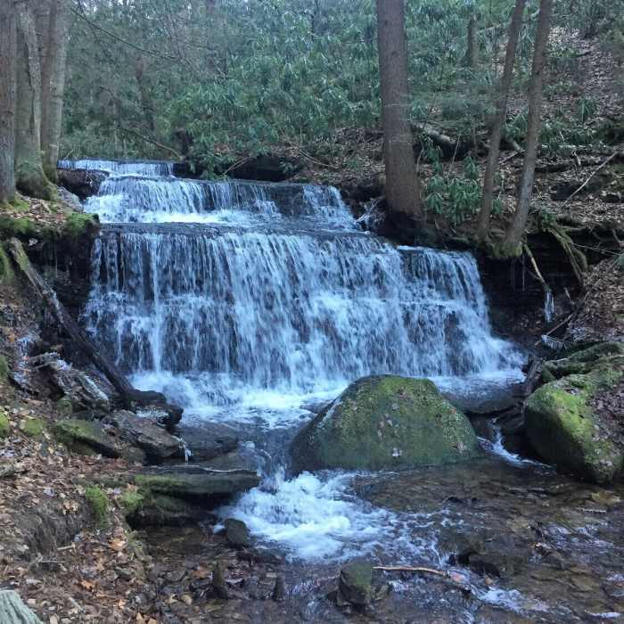
The first couple of miles start off pretty mellow before dropping down into the first big decent into the Fish Dam Wild Area. Hike to the stream and then climb out via a short, steep climb. Next you'll drop down into the Burns Run Wild Area. This is a long decent to the stream with a long and steep ascent out of the wild area. Next, the trail leads to the Yost Run area. It is a long, gradual ascent out of Yost Run. You'll be rewarded with a series of waterfalls toward the end of Yost Run. Cross Rt. 144 at an alternate trailhead parking area and then begin a decent into the Eddy Lick area. You'll meander along Eddy Lick and come across several remnants of the old logging era.
After Eddy Lick enjoy a long stretch of moderate terrain that mostly follows old logging roads. At approximately mile 28 the Chuck Keiper intersects the East Branch Trail. You can take this trail to cut the larger loop in half. Continue hiking the rolling terrain to the Cranberry Swamp area. Take the loop around Cranberry Swamp or bypass if you want to cut some mileage. Next head into a smaller drainage with a moderate climb to Mill Run Rd. After crossing Mill Run, drop into the steeper Boggs Run area. Hike along Boggs Run for sever miles before climbing out and coming to a vista once you cross Peters Run Rd.
Next drop into another drainage and cross Rt. 144 again. Descend into the final drainage of the hike and follow the stream for a while before climbing out to join Barneys Ridge Rd. Take a short side trip to Big Rocks Vista. After a little road hiking, veer to the right and back to the parking lot. Finish with the great vista from the parking lot. PA DCNR provides a good trail map or there is a detail trail guide by Dave Gantz.
No Condition Reports
Contributors

