Near Mill Creek Waterline Trail
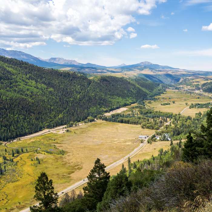
Telluride views.
Near Mill Creek Waterline Trail
San Miguel River Valley views.
Near Mill Creek Waterline Trail
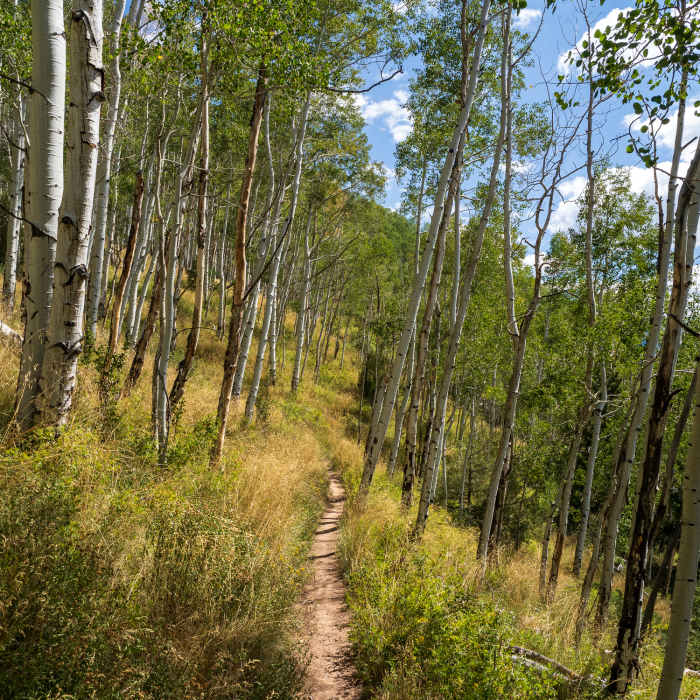
The Mill Creek Waterline Trail contours nicely along the mountainside.
Near Mill Creek Waterline Trail
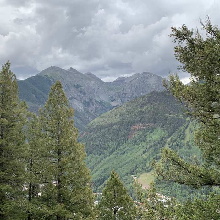
View from the trail.
Near Mill Creek Waterline Trail
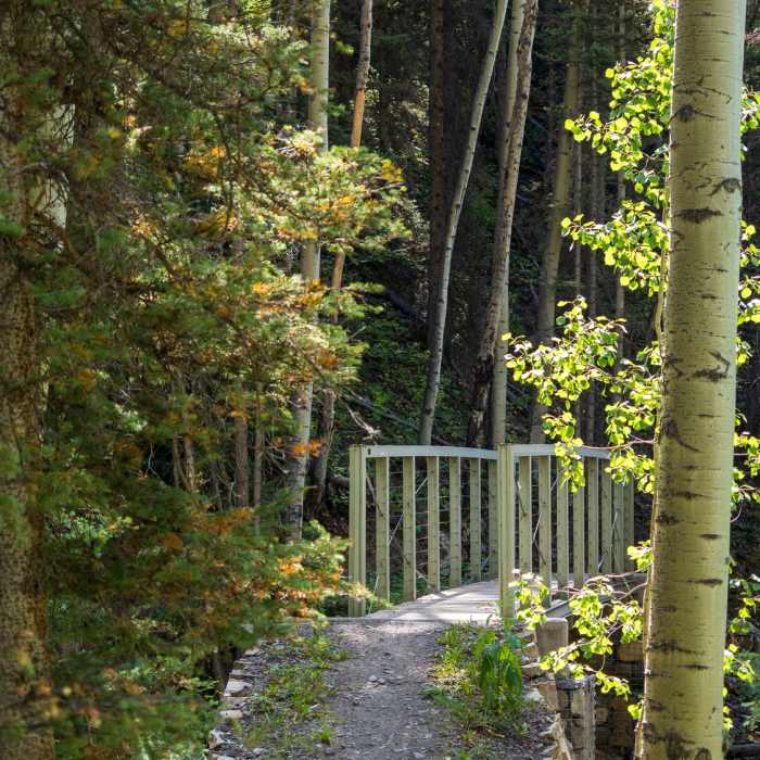
Footbridge along the Mill Creek Waterline Trail.

Looking for more photos?

View All Photos
View Map
Driving Directions
Hike Trail

Mill Creek Waterline Trail

4.5 (2 Ratings)
A nice trail past the water treatment facility into thick aspen groves, traversing across to Wiebe.
2.6
mi
Distance
439
ft
Gain
moderate
Difficulty
BirdingFamily FriendlyRiver/CreekViewsWaterfallWildlife

Route Details

Flatter
Steeper
2.64mi
Distance
439ft
Elevation Gain
207ft
Elevation Loss
25%
Max Grade
9,760ft
High Point
9,411ft
Low Point
Path Type
Point to Point
Description
There are different possibilities for starting this trail. Going east to west: 1) You can take the west end of the Jud Weibe Trail and head from Cornet Creek to Butcher Creek and then take the Waterline Trail to Mill Creek. 2) Start at the water treatment plant. Take Mill Creek Road, outside of town by the Brown Homestead, across from the gas station to Mill Creek where you'll be able to continue on this trail. 3) You can also work your way out to this trail from town by heading down the bike path to Mill Creek Road, taking the second Deep Creek Trail, just before the water treatment plant. Be mindful of cyclists, as this trail is open to both hikers and bikers. The trail has a mix of both great uphill, traversing, and downhill terrain. There are a few different forks on this trail, but the signage is very clear as to where to go.

Route Conditions

Report Conditions
No Condition Reports
Report Conditions

Nearby Hike Routes

Eider Creek + Deep Creek + Mill Creek Waterline

Classic Hike Route

Eider Creek + Deep Creek + Mill Creek Waterline

Birding
strenuous
6.26 mi
+1,633 ft
River Trail and Idarado Trail

Hike Route

River Trail and Idarado Trail

Dogs Allowed
easy
5.02 mi
+256 ft
Cornet Creek Falls

Hike Route

Cornet Creek Falls

Family Friendly
moderate
0.44 mi
+250 ft
Jud Weibe Loop

Classic Hike Route

Jud Weibe Loop

Dogs Allowed
strenuous
3.26 mi
+1,276 ft
Sneffels Highline Trail Loop

Hike Route

Sneffels Highline Trail Loop

Birding
strenuous
12.81 mi
+3,895 ft
Liberty Bell Sheridan Crosscut Loop

Hike Route

Liberty Bell Sheridan Crosscut Loop

Fall Colors
strenuous
6.38 mi
+3,022 ft
Contributors
Trisha Cofield
