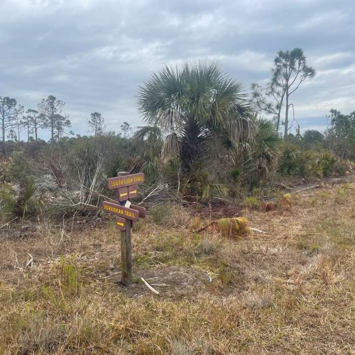
Near South Loop
Trail junction.
Near South Loop
South Loop Trail

Looking for more photos?

View All Photos
View Map
Driving Directions
Hike Trail
Buy Now View in 3D

South Loop

2.0 (1 Rating)
You'll find a lot of solitude on this lollipop loop in the south end of Myakka State Forest with wide open views.
6.4
mi
Distance
ft
Gain
moderate
Difficulty
Birding

Route Details

Flatter
Steeper
6.45mi
Distance
0ft
Elevation Gain
1ft
Elevation Loss
5%
Max Grade
13ft
High Point
8ft
Low Point
Path Type
Point to Point
Description
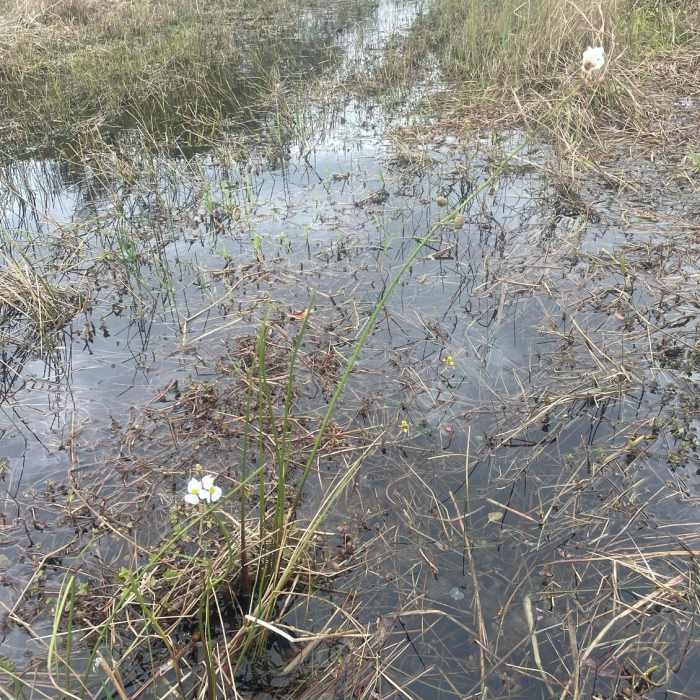
The South Loop trail can be accessed from all compass points so choose what is most convenient to you. I used the Foresman trail to access the South Loop. The loop itself is about 5.5 miles. It is a very wide trail/road but rough at times. It kept my mind occupied trying to stay on the smoothest part. I crossed through 3 wet areas, the deepest being shin deep. There is no way to avoid these wet areas. There is little shade so try and go on cooler and/or cloudy days.

Route Conditions

Report Conditions
Anonymous Adventurer
All Clear
Anonymous Adventurer
All Clear
Looking for more condition reports?
View History

Nearby Hike Routes

William Boylston Nature Trail

Hike Route

William Boylston Nature Trail

Birding
easy
0.89 mi
+0 ft
Gopher Trail and Persimmon Loop

Hike Route

Gopher Trail and Persimmon Loop

Birding
moderate
2.96 mi
+49 ft
Caloosahatchee Regional Park - North

Hike Route

Caloosahatchee Regional Park - North

River/Creek
moderate
10.06 mi
+42 ft
Little Manatee River State Park

Hike Route

Little Manatee River State Park

Birding
moderate
6.85 mi
+43 ft
Barrier-Free Nature Trail

Hike Route

Barrier-Free Nature Trail

ADA Accessible
easy
0.4 mi
+0 ft
Weedon Island Preserve Route

Hike Route

Weedon Island Preserve Route

Birding
easy
4.44 mi
+0 ft
Contributors
Rich Kelly
