Near Pipeline Trail
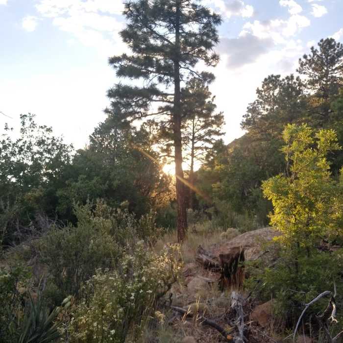
Sunset on Forces of Nature
Near Pipeline Trail
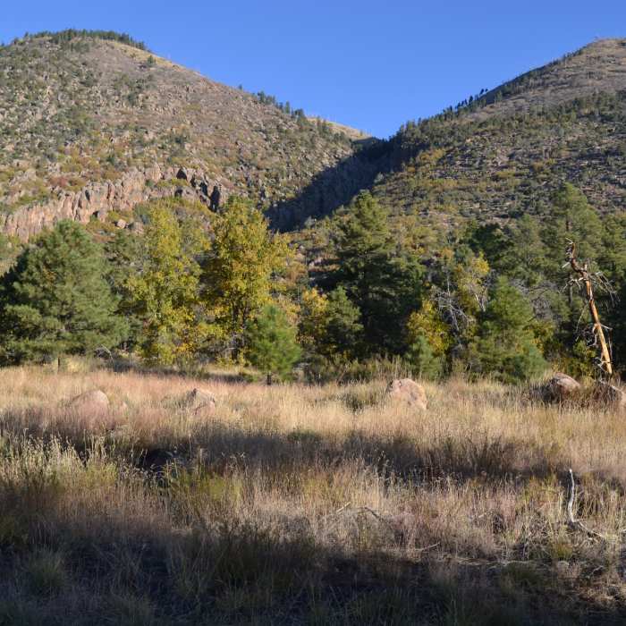
Mount Elden from the Forces of Nature Trail

Looking for more photos?

View All Photos
View Map
Driving Directions
Hike Trail

Pipeline Trail

2.5 (2 Ratings)
Easy walking along a utility right-of-way at the base of Mount Elden.
3
mi
Distance
495
ft
Gain
moderate
Difficulty
Views

Route Details

Flatter
Steeper
3mi
Distance
495ft
Elevation Gain
167ft
Elevation Loss
15%
Max Grade
7,210ft
High Point
6,881ft
Low Point
Path Type
Point to Point
Description
The Pipeline Trail skirts the base of Mount Elden mainly through a long clearing that sits atop a natural gas pipeline. Pipeline itself isn't anything to write home about - it has some ups and downs and occasional views of the Peaks, but mostly is a good access route from the neighborhoods of East Flagstaff to other better trails, including links to Lower Oldham Trail, Easy Oldham, and the Forces of Nature.

Route Conditions

Report Conditions
No Condition Reports
Report Conditions

Nearby Hike Routes

Elden Lookout Trail

Hike Route

Elden Lookout Trail

Views
strenuous
5.18 mi
+2,385 ft
Fatmans Loop

Hike Route

Fatmans Loop

Birding
strenuous
2.47 mi
+588 ft
Picture Canyon Waterfall Loop

Hike Route

Picture Canyon Waterfall Loop

Birding
easy
2.46 mi
+156 ft
Campbell Mesa

Hike Route

Campbell Mesa

Views
moderate
10.06 mi
+424 ft
Campbell Mesa Trails

Hike Route

Campbell Mesa Trails

Less Crowded
easy
5.35 mi
+265 ft
Buffalo Park Hike

Hike Route

Buffalo Park Hike

Dogs Allowed
easy
1.95 mi
+71 ft
Contributors
Almonzo Wilder
