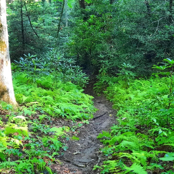
Near Turkeypen Gap Trail (#322)
Wagon Road Gap Trail
Near Turkeypen Gap Trail (#322)
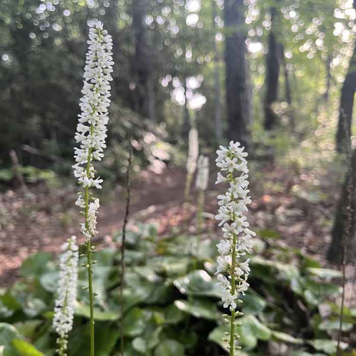
Galax in bloom along Turkeypen Gap Trail.

Looking for more photos?

View All Photos
View Map
Driving Directions
Hike Trail

Turkeypen Gap Trail (#322)

4.0 (2 Ratings)
A fun but at times tough up-and-down through the forest.
5.4
mi
Distance
2,466
ft
Gain
strenuous
Difficulty
Views

Route Details

Flatter
Steeper
5.36mi
Distance
2,466ft
Elevation Gain
1,009ft
Elevation Loss
40%
Max Grade
4,116ft
High Point
2,659ft
Low Point
Path Type
Point to Point
Description
Turkeypen is one of those must-hike trails in order to connect the Black Mountain Trail with the South Mills and Turkeypen area. It's also a must-hike trail because it's rougher, out-there, and extremely fun. To hike this as an out-and-back start at the Turkeypen Gap Trailhead. The trail climbs consistently with a tough steep climb 1 mile in.

Route Conditions

Report Conditions
No Condition Reports
Report Conditions

Nearby Hike Routes

Mills River Loop

Hike Route

Mills River Loop

Fall Colors
moderate
3.77 mi
+356 ft
Art Loeb Trail

Hike Route

Art Loeb Trail

Birding
strenuous
29.42 mi
+9,016 ft
Art Loeb & North Slope Loop

Hike Route

Art Loeb & North Slope Loop

River/Creek
moderate
7.06 mi
+1,521 ft
Twin Falls Out-and-Back

Hike Route

Twin Falls Out-and-Back

Waterfall
moderate
1.92 mi
+251 ft
Pink Beds Loop

Hike Route

Pink Beds Loop

Wildflowers
easy
5.04 mi
+309 ft
Coontree Loop

Hike Route

Coontree Loop

Fall Colors
strenuous
3.48 mi
+1,043 ft
Contributors
Logan Watts
