

Near Island Trail
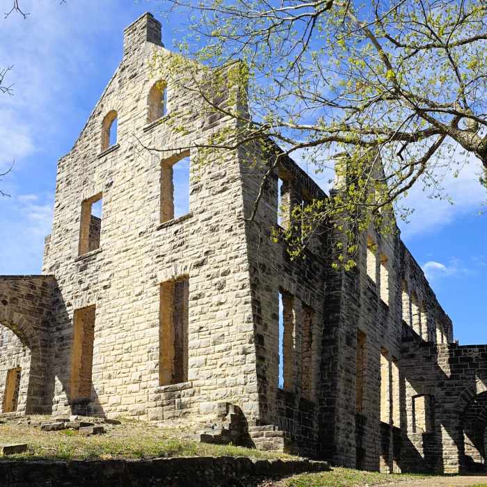
Castle Trail.
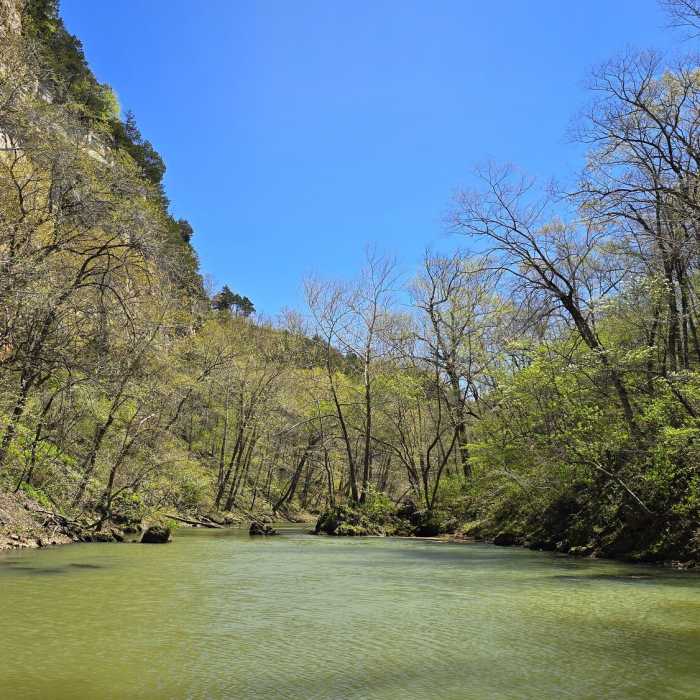
Near Island Trail
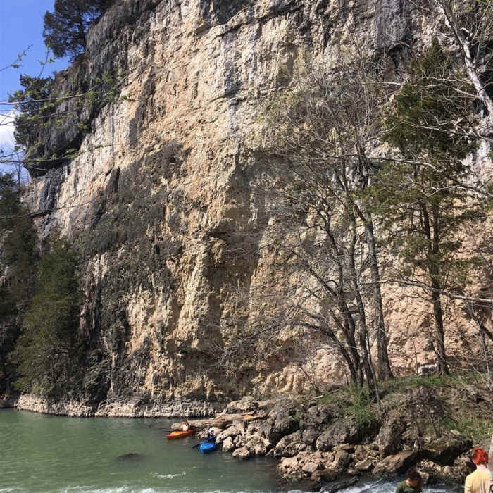
The massive bluff facing the trail. The castle remains are at the top of this bluff. Watch for rockfall if kayaking below, as pictured.
Near Island Trail
Castle Trail.
Near Island Trail
Laughing Springs Ha Ha Tonka Castle
Near Island Trail
Ha Ha Tonka Island

Looking for more photos?

View All Photos
View Map
Driving Directions
Hike Trail

Island Trail

4.4 (9 Ratings)
Some paths on the island are narrow, steep, and potentially slippery when wet, while others are rocky and arid.
0.4
mi
Distance
185
ft
Gain
moderate
Difficulty
BirdingCaveFall ColorsFishingLakeRiver/CreekViewsWaterfallWildflowersWildlife

Route Details

Flatter
Steeper
0.39mi
Distance
185ft
Elevation Gain
142ft
Elevation Loss
35%
Max Grade
769ft
High Point
655ft
Low Point
Path Type
Point to Point
Description
The Island Trail begins at a bridge connection to the Spring Trail (at about 37.974176, -92.771760). The bridge is actually the remains of a mill that once used the spring for power. The "island" was formed when cave passages around it collapsed to become the Spring Canyon. From the bridge, the trail climbs steeply up the island, on mostly natural terrain, with timbers for erosion control. From there, the trail becomes a labyrinth of branching footpaths, exploring the limits of the island. Diligent explorers may find the "balanced rock," a limestone boulder that, when seen from the correct angle, has an eroded layer almost entirely under it. The north side if the island descends to the remains of a dam used to form the spring pool, which then provided enough of an elevation drop to power the mill. Spring water now cascades down the boulders like a waterfall. Despite the small size of the island, it contains a cave with an entrance that is likely to go unnoticed, if not for the "do not enter" sign. Some paths on the island are narrow, steep, and potentially slippery when wet, while others are rocky and arid as they pass through glades. After exploring the island, the only option is to return to the bridge.

Route Conditions

Report Conditions
Anonymous Adventurer
All Clear
Anonymous Adventurer
All Clear
Looking for more condition reports?
View History

Nearby Hike Routes

Honey Run Trail Adventure

Hike Route

Honey Run Trail Adventure

Fall Colors
moderate
13.4 mi
+766 ft
Indian Point Trail

Hike Route

Indian Point Trail

Birding
moderate
3.1 mi
+196 ft
Moreau Creek Trail

Hike Route

Moreau Creek Trail

Birding
easy
5.37 mi
+605 ft
Berry Bend East

Hike Route

Berry Bend East

Fall Colors
strenuous
17.13 mi
+1,823 ft
Natural Bridge Loop

Hike Route

Natural Bridge Loop

Birding
strenuous
2.42 mi
+413 ft
Berry Bend West

Hike Route

Berry Bend West

Birding
strenuous
9.53 mi
+1,316 ft
Contributors
Brian Garrison
