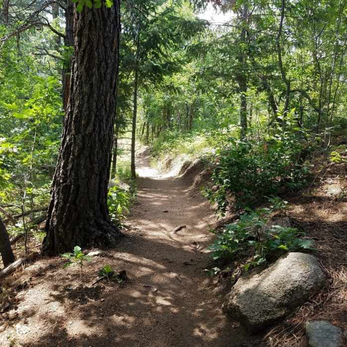
Near Ridgeway Trail
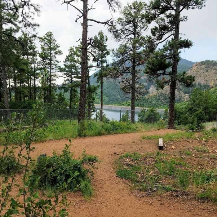
This is the junction of Gold Camp Trail and Chamberlain Trail. Gold Camp Reservoir is in the background.
Near Ridgeway Trail
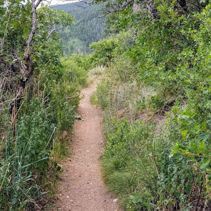
Enjoy easy terrain alongside Gold Camp Reservoir. This area is great for the whole family.
Near Ridgeway Trail
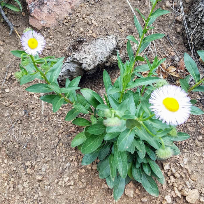
Purple Asters bloom along the Chamberlain Trail.
Near Ridgeway Trail
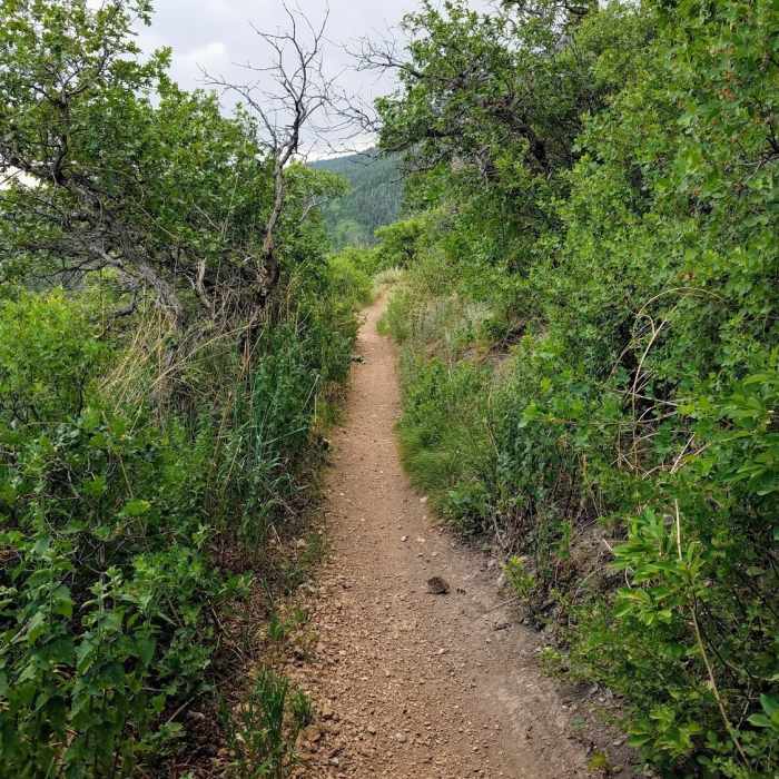
Enjoy easy terrain alongside Gold Camp Reservoir. The shrubbery is brimming with birds.
Near Ridgeway Trail
Explore the rich canopy bursting with light shortly after the trailhead.

Looking for more photos?

View All Photos
View Map
Driving Directions
Hike Trail

Ridgeway Trail

2.0 (1 Rating)
Fire road that connects Ridgeway Trailhead with Starsmore Visitor Center
1.9
mi
Distance
324
ft
Gain
moderate
Difficulty
Lake

Route Details

Flatter
Steeper
1.9mi
Distance
324ft
Elevation Gain
217ft
Elevation Loss
25%
Max Grade
6,575ft
High Point
6,244ft
Low Point
Path Type
Point to Point
Description
Directions: Follow the fire road from Ridgeway Trailhead parking lot. Follow signs as it loops around South Suburban and Gold Camp Reservoirs. The trail ends in a small parking lot adjacent to Starsmore Visitor Center in Cheyanne Canyon. Description: This is a fairly boring route that is 90% fire road used to access the reservoirs. There is some singletrack trail on the west side of Gold Camp Reservoir, but its pretty sandy.

Route Conditions

Report Conditions
Anonymous Adventurer
All Clear
Anonymous Adventurer
All Clear
Anonymous Adventurer
Some Issues
Anonymous Adventurer
All Clear
Looking for more condition reports?
View History

Nearby Hike Routes

Upper Meadows, Ridge, Ponderosa, and Chamberlain Loop

Hike Route

Upper Meadows, Ridge, Ponderosa, and Chamberlain Loop

Dogs Allowed
easy
3.57 mi
+462 ft
Seven Falls

Hike Route

Seven Falls

Views
easy
1.54 mi
+204 ft
Mt. Muscoco

Hike Route

Mt. Muscoco

Dogs Allowed
moderate
3.76 mi
+1,347 ft
Mount Cutler

Hike Route

Mount Cutler

Dogs Allowed
easy
1.91 mi
+467 ft
Lower Bear Creek Loop

Hike Route

Lower Bear Creek Loop

Dogs Allowed
easy
2.65 mi
+168 ft
Mays Peak Ramble via Penrose Trail (#665)

Hike Route

Mays Peak Ramble via Penrose Trail (#665)

Fall Colors
moderate
5.1 mi
+907 ft
Contributors
Chris Fa
