Near Gravel Road Climb
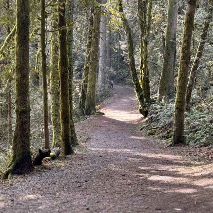
A section of trail.
Near Gravel Road Climb
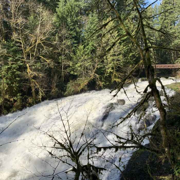
Lower Falls and the bridge during late winter's high water
Near Gravel Road Climb
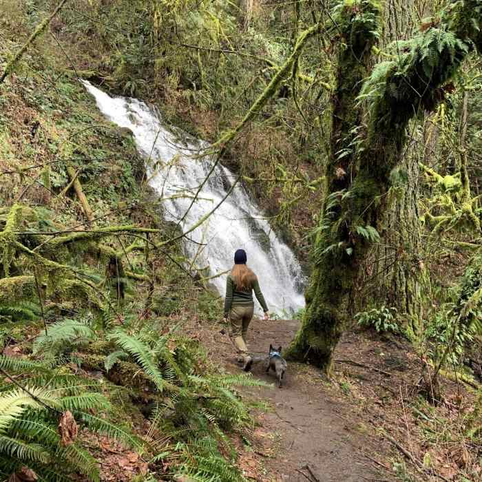
Approaching Woodburn Falls with lots of water flowing.

Looking for more photos?

View All Photos
Driving Directions
Hike Trail

Gravel Road Climb

3.0 (2 Ratings)
A road converted to a trail that makes for some of the core loops in the park
0.5
mi
Distance
ft
Gain
easy
Difficulty
Family FriendlyRiver/CreekWaterfall

Route Details

Flatter
Steeper
0.53mi
Distance
0ft
Elevation Gain
214ft
Elevation Loss
15%
Max Grade
322ft
High Point
108ft
Low Point
Path Type
Point to Point
Description
This trail, appearing variously as part of the Lake to Lake Loop, Trail 4, and Gravel Road Climb for bikers, is an easy converted gravel road that now serves as a core arterial trail within the park. It begins at the bridge over Lacamas Creek and the scenic Lower Falls. It then curves from to the east and then north to end at another road-trail that continues the Lake to Lake route. Along the way you'll pass many side trails.

Route Conditions

Report Conditions
No Condition Reports
Report Conditions

Nearby Hike Routes

Lacamas Creek Loop Trail

Hike Route

Lacamas Creek Loop Trail

Lake
easy
3.5 mi
+389 ft
Gibbons Creek Wildlife Art Trail

Hike Route

Gibbons Creek Wildlife Art Trail

Lake
easy
2.87 mi
+19 ft
Oxbow Highlights

Hike Route

Oxbow Highlights

Birding
moderate
4.87 mi
+436 ft
Powell Butte Loop

Hike Route

Powell Butte Loop

Birding
moderate
3.23 mi
+427 ft
Latourell Falls

Hike Route

Latourell Falls

Family Friendly
moderate
2.14 mi
+731 ft
Powell Butte Nature Park, Pioneer Orchard Trail

Hike Route

Powell Butte Nature Park, Pioneer Orchard Trail

Views
easy
2.08 mi
+161 ft
Contributors
Rob Lillard
