
Plan with
Confidence
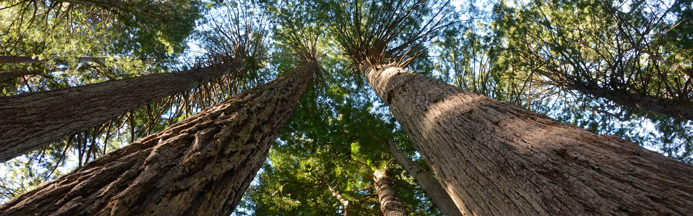
Hiking Near Macdoel, California
Shorter Routes
These hikes keep it under 5 miles and climb less than 1,500 feet, making them ideal for quicker outings or lower-key days. Perfect for a morning stretch, a casual afternoon, or getting outside without committing to a big push. Don’t let the stats fool you — many still pack in great views and rewarding moments.
Explore Top Areas Curated by onX Local Experts
Don’t see your next Adventure Area? Try Searching for a Nearby City or Town
- Arizona
- Cottonwood, AZ
- Flagstaff, AZ
- Grand Canyon Village, AZ
- Sedona, AZ
- Tusayan, AZ
- California
- Big Pine, CA
- Bishop, CA
- Crowley Lake, CA
- Fresno, CA
- Independence, CA
- Lee Vining, CA
- Lone Pine, CA
- Mammoth Lakes, CA
- South Lake Tahoe, CA
- Sunnyside - Tahoe City, CA
- Tahoe Vista, CA
- Truckee, CA
- Wawona, CA
- Yosemite Lakes, CA
- Yosemite Valley, CA
- Yosemite West, CA
- Colorado
- Aspen, CO
- Avon, CO
- Basalt, CO
- Bayfield, CO
- Boulder, CO
- Breckenridge, CO
- Buena Vista, CO
- Carbondale, CO
- Crested Butte, CO
- Dillon, CO
- Durango, CO
- Eagle, CO
- Edwards, CO
- Empire, CO
- Fraser, CO
- Frisco, CO
- Fruita, CO
- Golden, CO
- Grand Junction, CO
- Gunnison, CO
- Lake City, CO
- Leadville, CO
- Longmont, CO
- Lyons, CO
- Minturn, CO
- Nederland, CO
- Ouray, CO
- Pitkin, CO
- Poncha Springs, CO
- Rico, CO
- Ridgway, CO
- Salida, CO
- Silverthorne, CO
- Silverton, CO
- Snowmass Village, CO
- Nevada
- Carson City, NV
- Reno, NV
- Utah
- Boulder, UT
- Bryce Canyon City, UT
- Cedar City, UT
- Draper, UT
- Escalante, UT
- Green River, UT
- Hanksville, UT
- Hurricane, UT
- Kamas, UT
- Moab, UT
- Orem, UT
- Park City, UT
- Salt Lake City, UT
- Sandy, UT
- St. George, UT
- Washington
- Bellevue, WA
- Bellingham, WA
- Bremerton, WA
- Bellevue, WA
- Bellingham, WA
- Bremerton, WA
- Cle Elum, WA
- Eatonville, WA
- Enumclaw, WA
- Forks, WA
- Glacier, WA
- Issaquah, WA
- Maple Falls, WA
- North Bend, WA
- Olympia, WA
- Packwood, WA
- Port Angeles, WA
- Port Townsend, WA
- Sammamish, WA
- Sedro-Woolley, WA
- Sequim, WA
- Silverdale, WA
- Snoqualmie, WA
- Snoqualmie Pass, WA
- Wyoming
- Dubois, WY
- Jackson, WY
- Lander, WY
- Pinedale, WY
- Wilson, WY