Near American Fork Twin Peaks Summit Trail
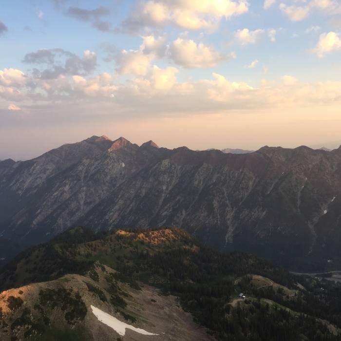
A view of the Cottonwood Ridge from American Fork Twin Peaks
Near American Fork Twin Peaks Summit Trail
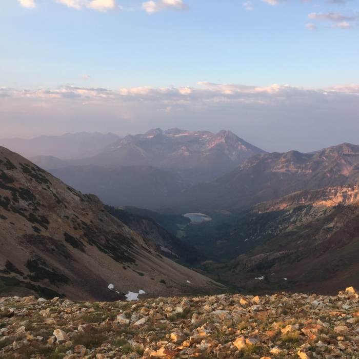
A smoky Mount Timpanogos (as well as Silver Lake Flat) from the top of American Fork Twin Peaks
Near American Fork Twin Peaks Summit Trail
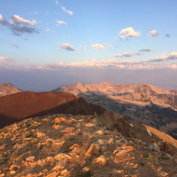
A view to the West toward the Pfeifferhorn and Lone Peak (with White Baldy on the far left and Red Top in the foreground) from American Fork Twin Peaks
Near American Fork Twin Peaks Summit Trail
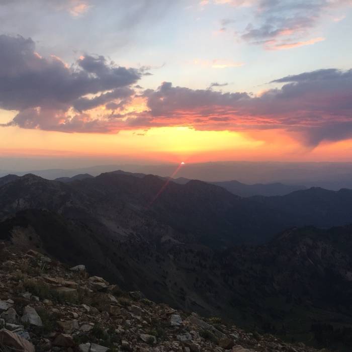
A red sunrise over the Wasatch Mountains from the ridge up toward American Fork Twin peaks

Looking for more photos?

View All Photos
Driving Directions
Hike Trail

American Fork Twin Peaks Summit Trail

4.0 (1 Rating)
A steep, ridgeline trail to the top of both summits of American Fork Twin Peaks, with incredible panoramic views.
1
mi
Distance
776
ft
Gain
strenuous
Difficulty
Views

Route Details

Flatter
Steeper
0.99mi
Distance
776ft
Elevation Gain
230ft
Elevation Loss
65%
Max Grade
11,488ft
High Point
10,942ft
Low Point
Path Type
Point to Point
Description
After the Forest Service Road 193 - North road ends, this singletrack begins to climb steeply up the ridge towards a small, unnamed peak just south of American Fork Twin Peaks. After gaining this peak, the trail becomes a beautiful ridge hike on a shattered quartzite trail that can be somewhat hard to follow at times, but the ridge is easy enough to follow and it doesn't make much difference whether you're hiking on the trail or cross country. At this point, you can finally see the Twin Peaks, and they are not rugged but still majestic in their own way. The trail drops down to a saddle before making the final push to the eastern summit. From the eastern summit, you can finally really see the Cottonwood ridge and down into Little Cottonwood Canyon, as well as the ski resorts and the views of Timpanogos and down into American Fork Canyon are incredible as well. After taking in the views, you can then take the faint trail/cross country route up to the taller West Twin, which offers view of Lone Peak, Coalpit Gulch, the Pfeifferhorn, and many of the other incredible peaks along the ridge above Little Cottonwood Canyon. The route between the Twin Peaks involves a slight amount of descent, and then a fun, short ascent.

Route Conditions

Report Conditions
No Condition Reports
Report Conditions

Nearby Hike Routes

Find more hikes near: Alta, UtahBrighton, UtahGranite, Utah
Silver Lake Trail

Hike Route

Silver Lake Trail

Lake
moderate
4.43 mi
+1,419 ft
Miners Road to Big Mountain Trail Loop

Hike Route

Miners Road to Big Mountain Trail Loop

Views
easy
2.75 mi
+645 ft
American Fork Twin Peaks from Silver Lake Flat

Hike Route

American Fork Twin Peaks from Silver Lake Flat

Fall Colors
strenuous
12.04 mi
+4,487 ft
Pfeifferhorn

Hike Route

Pfeifferhorn

Lake
strenuous
9.79 mi
+3,895 ft
Secret Falls Trail

Hike Route

Secret Falls Trail

Waterfall
easy
2.28 mi
+544 ft
Maybird Lakes Hike

Hike Route

Maybird Lakes Hike

Lake
strenuous
7.47 mi
+2,341 ft
Contributors
Tomsen Reed
