Ready to explore this trail?
View Trail Map in AppPath Type
Point to Point
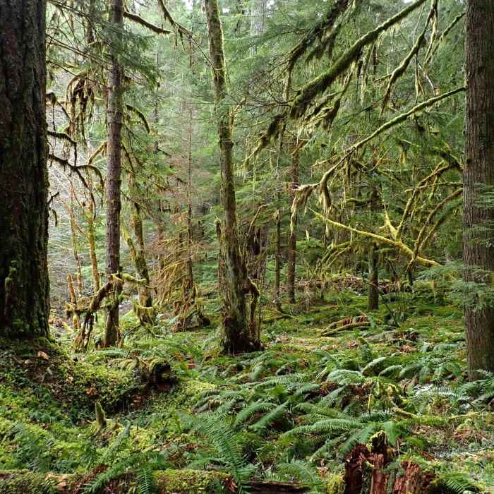
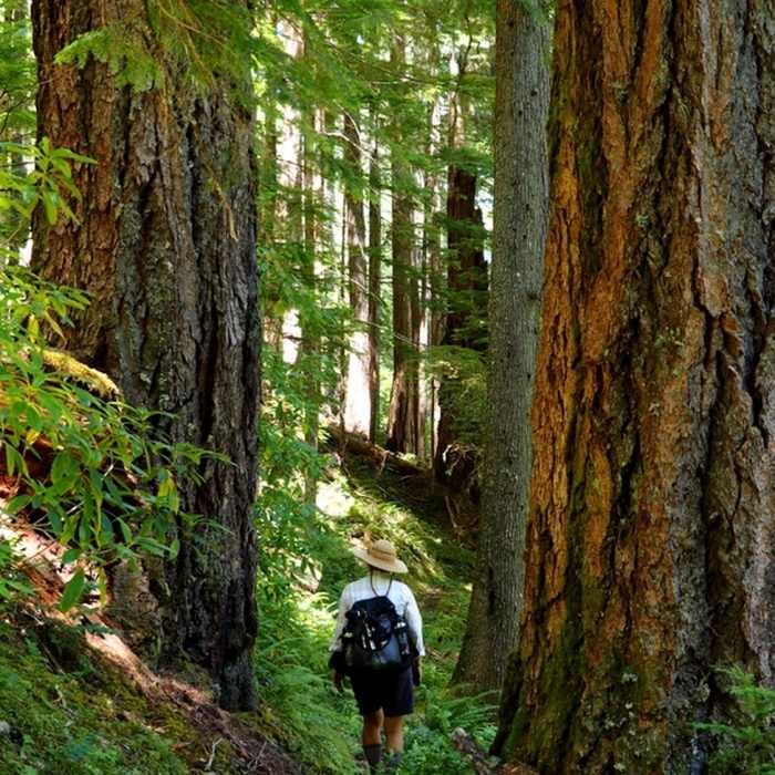
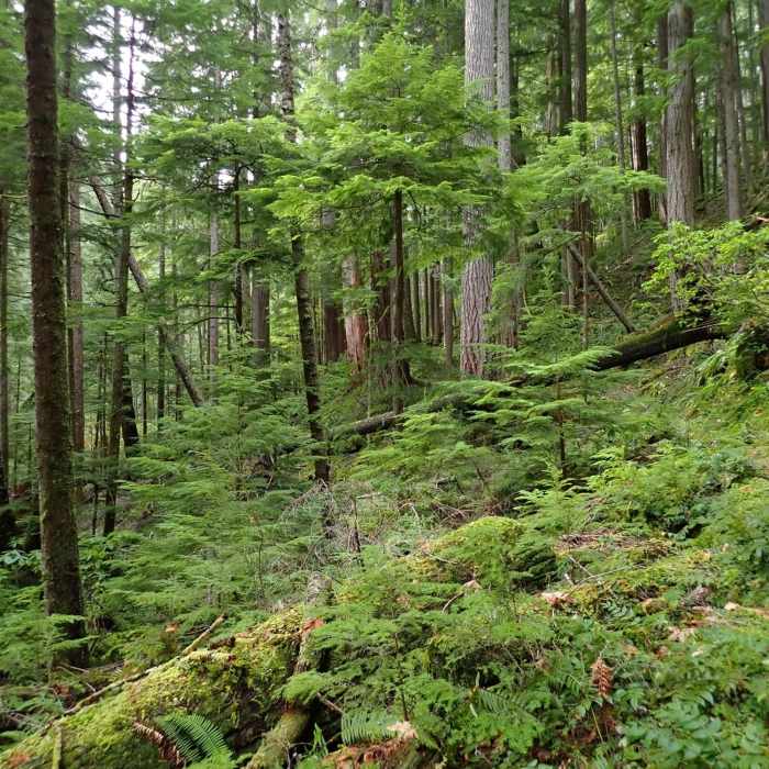
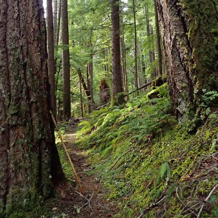
Cow Creek is a major tributary to Oregon's South Umpqua River and an important stream in Southern Oregon's early history. Levi Scott and Jesse Applegate, who pioneered the southern wagon route into Oregon, named the creek in 1846 when they found a dead cow beside it (no grasping for literary allusions with these guys). The six mile long Cow Creek Trail (USFS #1424) follows the upper reaches of the South Fork of Cow Creek through an herb-rich floodplain stocked with mature and old (500+ years in some cases) Douglas fir and other trees. It ends at Railroad Gap near the divide that defines the watersheds of the Rogue and Umpqua Rivers.
The Cow Creek Trailhead (the Sharon Eitzen Memorial) is on Forest Road 3232 where it crosses the East Fork of Cow Creek and features a pit toilet, a hitching post, and parking for several vehicles.
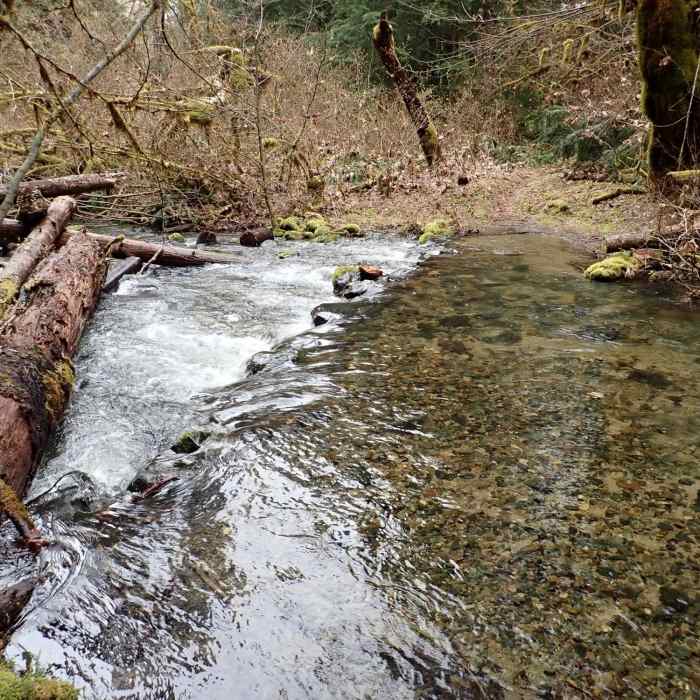
From the trailhead, the trail traverses into the drainage of the South Fork of Cow Creek, and after 0.5 miles you come to the first crossing of the creek. How you cross (and if you can cross) will depend on the water level. The trail itself is generally in good condition, with only a few short sections a little overgrown, and nothing that's rocky or steep.
You make your second crossing at 1.2 miles from the trailhead and your third at 1.4 miles. After that, the trail climbs up and away from the creek and contours through a luxuriant old-growth forest. You reach your fourth crossing at 3.75 miles from the trailhead. If old-growth was your primary interest, this makes a good turnaround point since you've gone through almost all of the old-growth. If you continue on, you'll find another crossing at five miles in and the trail's end at Forest Road 911 on Railroad Gap.
The gap got its name when, in the 1870s, the Oregon & California Railroad surveyed through here for a practical route from the Cow Creek drainage to the Rogue River. No such route was found, but the "Railroad Gap" name stuck. There also used to be a fire lookout at the gap. A 15-foot pole L-4 tower was built in 1933, used as part of an Aircraft Warning System (AWS) during World War II, and then removed in 1951.
No Condition Reports
Contributors

