Near Bell Creek Trail #459
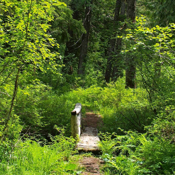
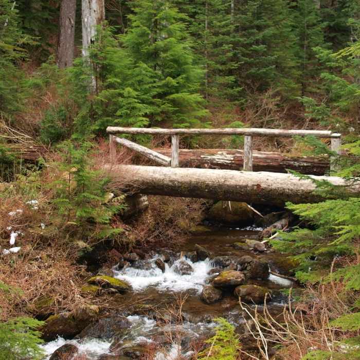
Along the Bell Creek Trail
Near Bell Creek Trail #459
A bridge on the Bell Creek Trail

Looking for more photos?

View All Photos
View Map
Driving Directions
Hike Trail

Bell Creek Trail #459

3.0 (1 Rating)
This trail traverses one of the best stands of old-growth forest in the entire Columbia Gorge area.
2.4
mi
Distance
375
ft
Gain
moderate
Difficulty
Less Crowded
Access Issues
This trail is in the Mark O. Hatfield Wilderness and the usual federal wilderness area regulations and restrictions apply here. Practice Leave No Trace (LNT) backcountry skills and ethics. Camp 100 feet from fragile areas; bury human waste at least 200 feet from water, trails, and campsites. This trail is usually closed by snow between November and May.

Route Details

Flatter
Steeper
2.45mi
Distance
375ft
Elevation Gain
396ft
Elevation Loss
15%
Max Grade
2,905ft
High Point
2,630ft
Low Point
Path Type
Point to Point
Description
This little used trail runs bwteen the Oneonta Trail #424 and the at Horsetail Creek Trail #425. It promises (and delivers on) solitude as it traverses across the upper basin of Oneonta Canyon through stands of huge hemlocks, Douglas firs, and Western red cedars, across several open scree fields, and through spring soaked wetlands ringed by towering cedars. Access to it from either end is limited by snow between November and May. Access from the #424 end is further limited by closure of Larch Mountain Road gate at milepost 10 during this same time period.

Route Conditions

Report Conditions
No Condition Reports
Report Conditions

Nearby Hike Routes

Rock of Ages Loop via Horsetail Falls Trailhead

Hike Route

Rock of Ages Loop via Horsetail Falls Trailhead

Views
strenuous
8.99 mi
+3,859 ft
Horsetail, Ponytail + Triple Falls Hike

Hike Route

Horsetail, Ponytail + Triple Falls Hike

Views
easy
1.97 mi
+559 ft
Multnomah Falls Out and Back

Hike Route

Multnomah Falls Out and Back

River/Creek
moderate
2.35 mi
+966 ft
Franklin Ridge Loop Hike

Hike Route

Franklin Ridge Loop Hike

Less Crowded
extreme
11.69 mi
+3,628 ft
Larch Mountain Trail

Hike Route

Larch Mountain Trail

Less Crowded
extreme
13.01 mi
+4,230 ft
Multnomah Falls Loop

Hike Route

Multnomah Falls Loop

Family Friendly
moderate
4.82 mi
+1,713 ft
Contributors
BK Hope
