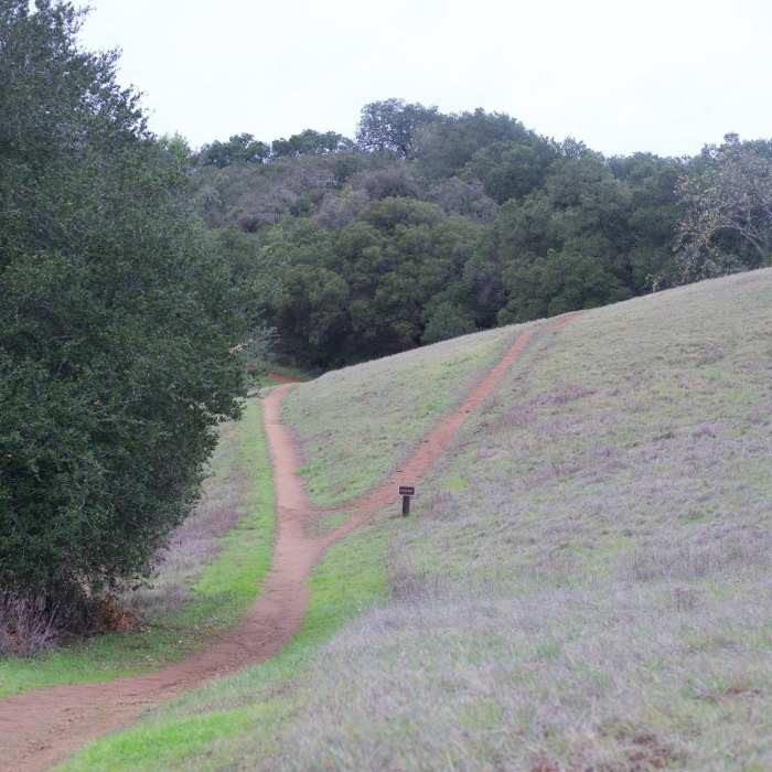
Near Black Mountain Trail
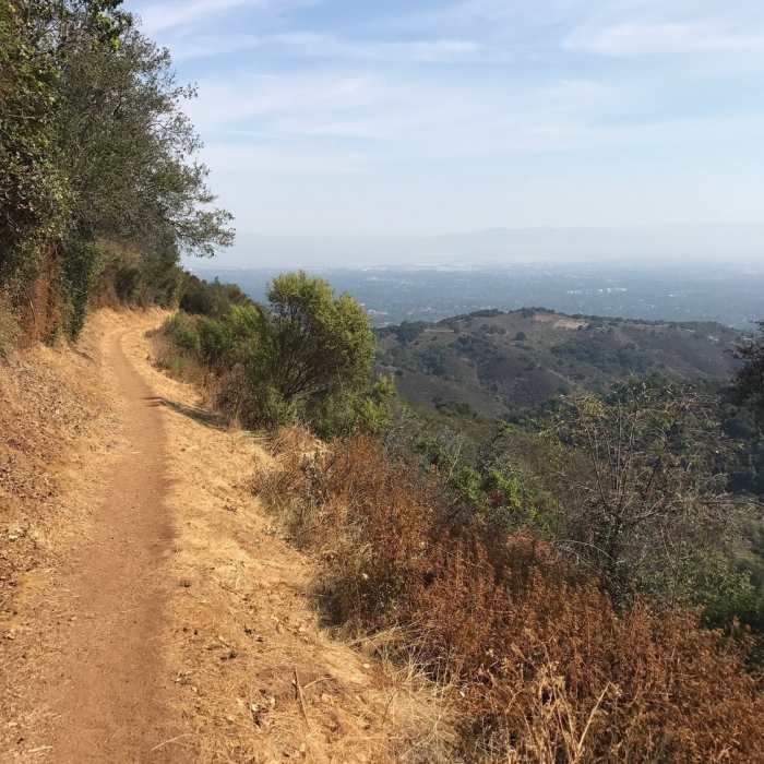
The long descent back to Rogue Valley.
Near Black Mountain Trail
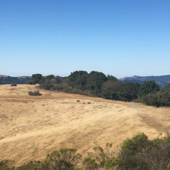
The view from the western side of Black Mountain
Near Black Mountain Trail
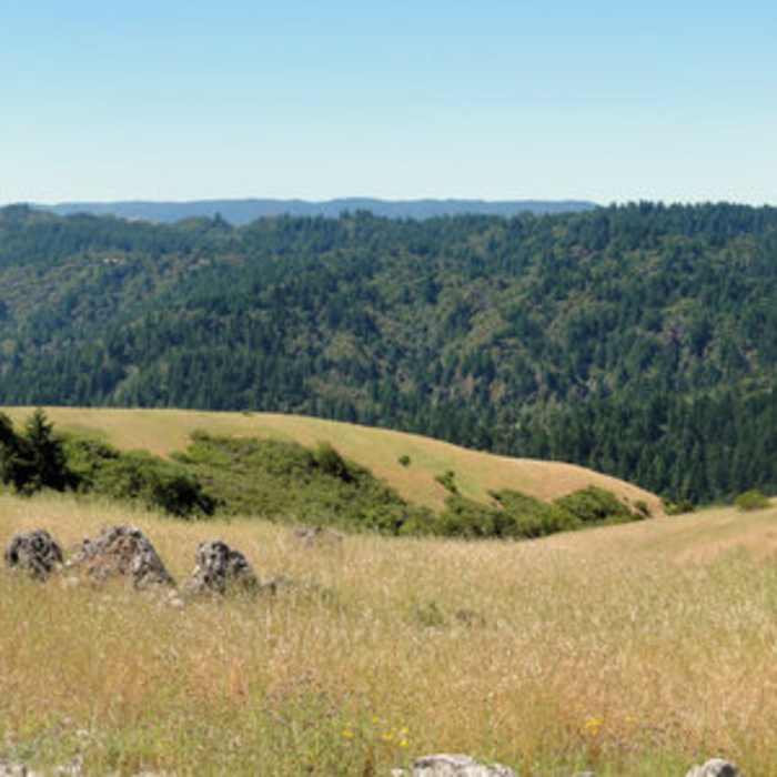
Enjoy a panoramic view from the summit of Black Mountain.
Near Black Mountain Trail
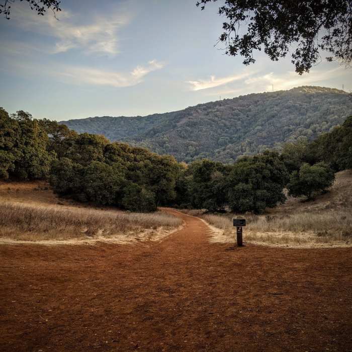
Once at the top, you've got a choice in direction to make.
Near Black Mountain Trail
At this point, a small side trail leads up to the Mary Davey Memorial.

Looking for more photos?

View All Photos
View Map
Driving Directions
Hike Trail

Black Mountain Trail

3.7 (3 Ratings)
An open doubletrack mixed with tight and shaded singletrack.
3.9
mi
Distance
94
ft
Gain
moderate
Difficulty
Views

Route Details

Flatter
Steeper
3.9mi
Distance
94ft
Elevation Gain
1,778ft
Elevation Loss
65%
Max Grade
2,790ft
High Point
1,063ft
Low Point
Path Type
Point to Point
Description
A quick descent from Monte Bello Road to the Quarry Trail and then onto the junction with the Chamise Trail. This trail takes you along some open trail and down twisty, tight turning switchbacks.

Route Conditions

Report Conditions
No Condition Reports
Report Conditions

Nearby Hike Routes

Black Mountain loop via Stevens Creek

Hike Route

Black Mountain loop via Stevens Creek

River/Creek
moderate
5.82 mi
+1,303 ft
Creek/Pipeline loop at Hidden Villa

Hike Route

Creek/Pipeline loop at Hidden Villa

River/Creek
moderate
1.34 mi
+156 ft
Hostel/Grapevine/Creek Trail Loop

Hike Route

Hostel/Grapevine/Creek Trail Loop

River/Creek
strenuous
2.38 mi
+611 ft
Black Mountain via Black Mountain Trail

Hike Route

Black Mountain via Black Mountain Trail

Views
moderate
9.98 mi
+2,559 ft
Rogue Valley + Wildcat Loop

Hike Route

Rogue Valley + Wildcat Loop

Views
easy
3.99 mi
+611 ft
Ancient Oaks Trail

Hike Route

Ancient Oaks Trail

Birding
moderate
1.57 mi
+73 ft
Contributors
philip watkins
