Ready to explore this trail?
View Trail Map in AppPath Type
There and Back
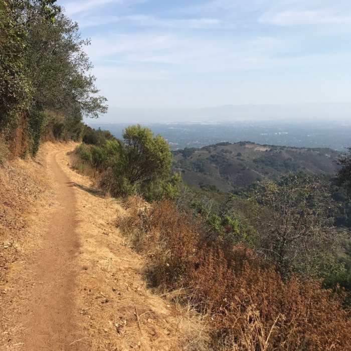
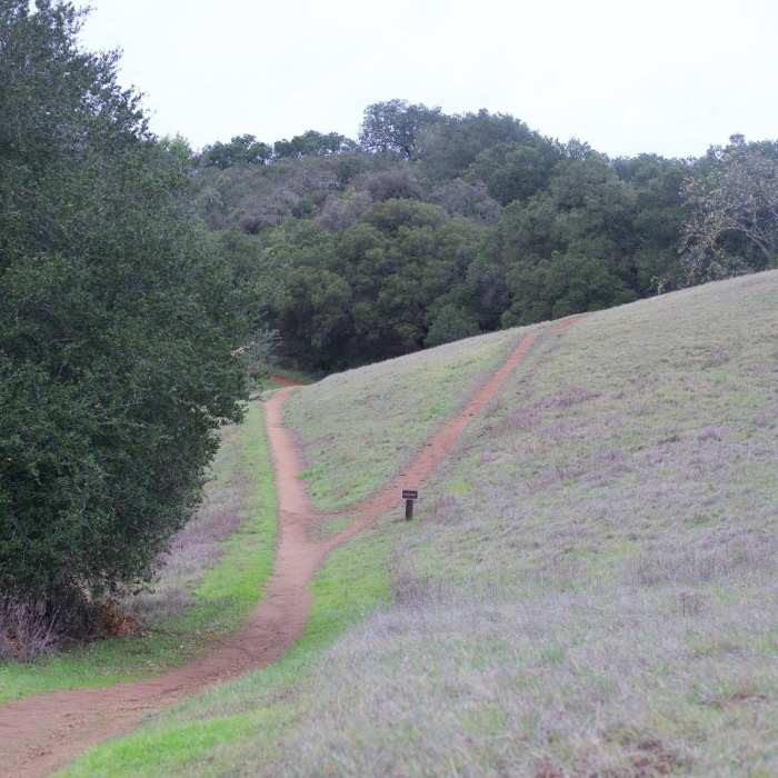
From the small - and often packed - parking lot off Rhus Ridge Road, take the dirt road into the forest, past the caretaker's house and through a gate. You'll get your first view, overlooking Los Altos Hills, after about a half mile. At about a mile, you reach a four-way intersection. Turn right onto the Black Mountain Trail. Stay on the Black Mountain Trail, passing the Hostel and Ewing Hill trails on your right. At 3.5 miles, the Black Mountain Trail switches from singletrack to dirt road and becomes quite steep. Pass the narrow Quarry Trail on your left, and keep climbing toward the antenna garden near the summit. Pass the antennas, and continue toward Monte Bello Road, when you'll turn left to reach the rock formations at the summit.Return the way you came.
No Condition Reports
Hostel/Grapevine/Creek Trail Loop
Hostel/Grapevine/Creek Trail Loop
Creek/Pipeline loop at Hidden Villa
Creek/Pipeline loop at Hidden Villa
Rogue Valley + Wildcat Loop
Rogue Valley + Wildcat Loop
Los Trancos Loop
Los Trancos Loop
Black Mountain loop via Stevens Creek
Black Mountain loop via Stevens Creek
Wildcat Loop
Wildcat Loop
Contributors

