Near Red Trail
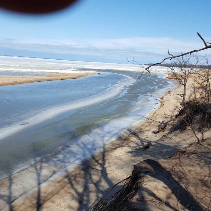
The Pinnebog River.

Looking for more photos?

View All Photos
View Map
Driving Directions
Hike Trail

Red Trail

4.0 (1 Rating)
A wooded trail with river and lake views through Port Crescent State Park.
1.1
mi
Distance
43
ft
Gain
moderate
Difficulty
BirdingFamily FriendlyLakeRiver/CreekViewsWildlife

Route Details

Flatter
Steeper
1.07mi
Distance
43ft
Elevation Gain
43ft
Elevation Loss
10%
Max Grade
607ft
High Point
584ft
Low Point
Path Type
Loop
Description
The trail starts by crossing an old wood-floored bridge. At the trail display turn left. The trail climbs toward great views of the old channel of the Pinnebog River. The trail then leaves the old channel and continues on to the southwest, and turns north to follow the new channel of the river. Off to the left of the trail, there are great viewpoints to see the new channel and Lake Huron. The day use area of the state park can be seen across the river. There are a couple of sandy hills to climb.
History & Background
This is part of The Port Crescent State Park and at one time a sand mining community existed here.

Route Conditions

Report Conditions
No Condition Reports
Report Conditions

Nearby Hike Routes

Port Crescent Loop

Hike Route

Port Crescent Loop

Birding
moderate
2.8 mi
+33 ft
Hoist Lakes Area

Hike Route

Hoist Lakes Area

Lake
moderate
11.02 mi
+819 ft
Marl Lake Trail System

Hike Route

Marl Lake Trail System

Birding
moderate
4.75 mi
+14 ft
Inwood Trail 4.5-Mile Loop

Hike Route

Inwood Trail 4.5-Mile Loop

Birding
moderate
4.57 mi
+139 ft
Mountain Bike Trail

Hike Route

Mountain Bike Trail

Birding
moderate
9.92 mi
+781 ft
Haven Hill

Hike Route

Haven Hill

Views
easy
1.81 mi
+185 ft
Contributors
Carl Ignash
