Ready to explore this trail?
View Trail Map in AppPath Type
Point to Point
Park at the corner of National Campground Road and East Cost Tellico Parkway/Axley Chapel Rd. If you want to do this as a single section, drop a car at the Coytee Trailhead before you head out, otherwise, you can do this as an out-and-back.
Cross East Coast Tellico Parkway and start on the singletrack. You may have to cross the fence using the stile if the fence is currently up. This section of trail runs through TVA easements where farmers range cattle for part of the year.
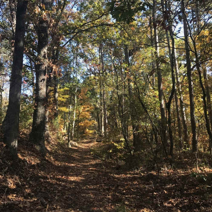
The first 0.7 miles are relatively flat and skirt a beautiful inlet of Tellico Lake. From mile 0.7 to 1.0, the trail climbs steeply, gaining about 240 feet. Cresting out at 1.0, the trail runs along hilltops for the next half mile with some views of the lake through the trees before descending rapidly back to lake level at mile 1.7.
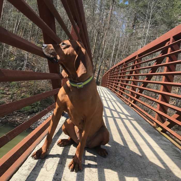
At mile 2.0, there is a bench with a great view of the lake. The trail rolls along until mile 2.5 before a long climb to mile 3. Around mile 2.7, you'll see an old abandoned pickup truck and then pass an old homestead marked by daffodils in the spring. At mile 3, you'll begin a quick descent back to lake level and then follow rolling trails along or near the lake until mile 4.5. Cross the bridge at mile 4.5 and enjoy the view of lake.
All Clear
All Clear
Looking for more condition reports?
Contributors

