


Ready to explore this trail?
View Trail Map in AppAn entrance fee is required to enter Canyonlands National Park. Day hiking does not require a permit, but overnight stays require a backcountry permit via recreation.gov.
Path Type
Loop
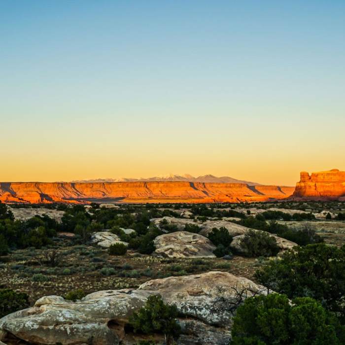
This route begins and ends at the Squaw Flat Trailhead near the Needles Campground in Canyonlands National Park.
Start at the Squaw Flat Trailhead and head southeast. At 1.0 mile, turn left at the junction onto the Peekaboo Trail towards Lost Canyon. At 2.5 miles, turn right on Lost Canyon Trail. Hike through the sandy wash, climbing a wooden ladder to ascend a sandstone ledge. Turn left at 5.6 miles to drop into Squaw Canyon. Traverse sandstone ledges to climb out of Squaw Canyon. Bypass the Big Springs Canyon Trail junction on the right at 6.6 miles, continuing straight on Lower Lost Hiker Trail.
At 8.3 miles, bear left towards Elephant Canyon, making another left turn onto Elephant Canyon Trail at 8.4 miles. Turn right to head towards Chesler Park around 8.9 miles. Enter the vast grassland of Chelser Park, passing through the sandstone spires at 9.9 miles, and turning left onto the Joint Trail.
Follow along the Joint trail to descend rock stairs into a deep, narrow fracture in the sandstone.
After exiting the slot canyon, follow the trail to the 4WD road and head north briefly before veering right at 12.1 miles towards Devil's Kitchen. Bypass the first intersection with Chesler Park Loop Trail on the right at 12.2 miles and continue straight. Upon reaching the Devil's Kitchen Trail intersection at 12.5 miles, turn right. Follow the trail to wind through the sandstone until reaching the next intersection at 13.8 miles. Turn left and climb to the pass at the meadow's rim, reaching the Chesler Park Viewpoint, and descending to the next intersection with Chesler Park Trail.
At 14.0 miles, turn right on Chesler Park Trail towards Elephant Canyon. Drop into the sandy wash of Elephant Canyon at 14.6 miles and continue straight. Upon reaching the junction at 15.1 miles, bear right onto the Lost Hiker Trail.
Climb over and wind through the sandstone and slickrock until reaching the intersection with Big Spring Canyon. At 17.5 miles, turn left onto Big Spring Canyon Trail and follow the trail northeast to return to the Squaw Flat Trailhead.
No Condition Reports
Contributors

