Near Fork Mountain Trail #322
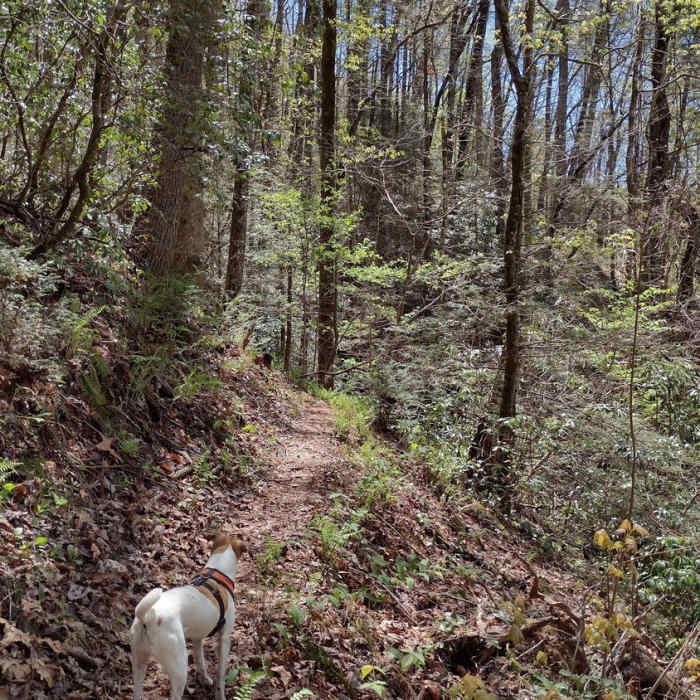
Typical trail view and terrain of the trail.

Looking for more photos?

View All Photos
View Map
Driving Directions
Hike Trail

Fork Mountain Trail #322

4.0 (1 Rating)
A long, gradual climb back to the Foothills Trail from Ellicott Rock.
5.9
mi
Distance
912
ft
Gain
moderate
Difficulty

Route Details

Flatter
Steeper
5.91mi
Distance
912ft
Elevation Gain
954ft
Elevation Loss
30%
Max Grade
3,027ft
High Point
2,480ft
Low Point
Path Type
Point to Point
Description
This trail terminates at the Chattooga River Trail on the West end and the Foothills Trail on the East end. From Ellicott Rock is climbs steeply up several switchbacks until it straightens out. It then begins a long, winding path back to the Foothills Trail at the Sloan Bridge Picnic Area on HWY 107. There's nothing much exciting on this trail; no rocks, little roots, no waterfalls. It's a relatively dry, forest canopy trail that may get quite overgrown on some sections and likely hot during the warmer months. The end that terminates at the Sloan Bridge Picnic Area has a vault toilet and the path to the picnic area has an easement which provides safe passage along side HWY 107.

Route Conditions

Report Conditions
No Condition Reports
Report Conditions

Nearby Hike Routes

Fish Hatchery to Ellicott Rock Loop

Hike Route

Fish Hatchery to Ellicott Rock Loop

Birding
strenuous
15.87 mi
+2,216 ft
Upper Whitewater Falls Hike

Hike Route

Upper Whitewater Falls Hike

Views
easy
1.19 mi
+256 ft
Lower Whitewater Falls Hike

Hike Route

Lower Whitewater Falls Hike

Family Friendly
moderate
4.24 mi
+925 ft
Upper Whitewater Falls from Lower Trailhead

Hike Route

Upper Whitewater Falls from Lower Trailhead

Fall Colors
strenuous
5.75 mi
+1,144 ft
High Hampton Inn to Chimney Top Peak

Hike Route

High Hampton Inn to Chimney Top Peak

Birding
extreme
4.13 mi
+1,299 ft
Flatlander's Loop

Hike Route

Flatlander's Loop

Birding
easy
3.07 mi
+313 ft
Contributors
Hiking Project Staff
