Near Varnedoe Trail
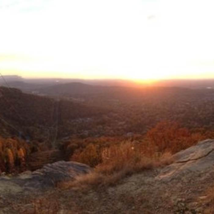
View of South Huntsville. You can see the NASA test stand where the Saturn 5 engines were tested in the 60s and the Tennessee River.
Near Varnedoe Trail
Rock Cuts on the Varnedoe Trail
Near Varnedoe Trail
View of Bailey Cove, Huntsville, Redstone Arsenal, and Tennessee River from the Power Line Trail at the West Bluff Trail in Blevins Gap Preserve.
Near Varnedoe Trail
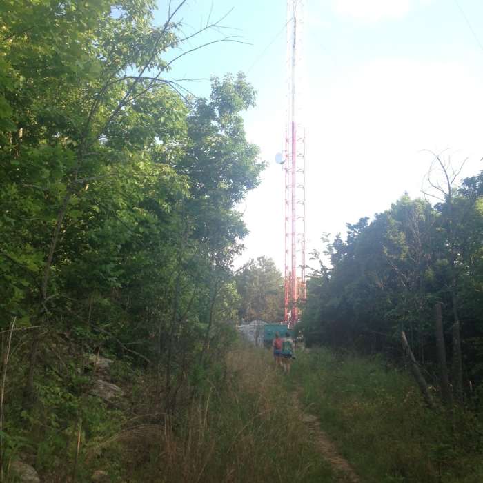
View of the Tower toward the top of the switchback on Varnedoe.
Near Varnedoe Trail
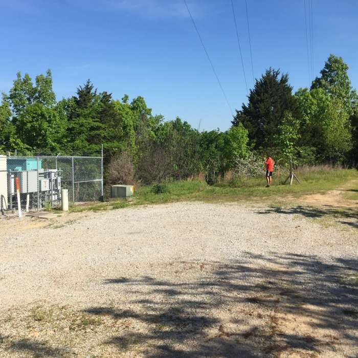
Where Certain Trail and Varnedoe Trail meet.

Looking for more photos?

View All Photos
Driving Directions
Hike Trail

Varnedoe Trail

4.5 (4 Ratings)
One of the most aggressive climbs in the Huntsville area.
1.7
mi
Distance
80
ft
Gain
strenuous
Difficulty
Views

Route Details

Flatter
Steeper
1.68mi
Distance
80ft
Elevation Gain
232ft
Elevation Loss
35%
Max Grade
1,448ft
High Point
1,246ft
Low Point
Path Type
Point to Point
Description
This trail can only be reached from other trails. Either via the Certain Trail at its southern end or the Sugar Tree Trail at its north end. Varnedoe Trail features mostly small rolling trails until its southern end which features a very aggressive climb to the top of Green Mountain.

Route Conditions

Report Conditions
Anonymous Adventurer
All Clear
Anonymous Adventurer
All Clear
Anonymous Adventurer
All Clear
Anonymous Adventurer
All Clear
Looking for more condition reports?
View History

Nearby Hike Routes

Jean Shorts Special

Hike Route

Jean Shorts Special

Views
moderate
4.7 mi
+910 ft
Big Cove to Duck Weed Basin Loop

Hike Route

Big Cove to Duck Weed Basin Loop

Fall Colors
moderate
4.36 mi
+15 ft
Hays Preserve Loop

Hike Route

Hays Preserve Loop

Birding
easy
1.84 mi
+15 ft
Madison County Nature Trail

Hike Route

Madison County Nature Trail

Birding
easy
1.07 mi
+106 ft
Blevins Gap

Hike Route

Blevins Gap

Fall Colors
strenuous
10.98 mi
+1,809 ft
Green Mountain Preserve and Buzzard Falls

Hike Route

Green Mountain Preserve and Buzzard Falls

Cave
moderate
4.3 mi
+606 ft
Contributors
Luke Brisk
